-
You are here:
- Homepage »
- Italy »
- Friuli Venezia Giulia » Malborghetto Valbruna

Malborghetto Valbruna Destination Guide
Discover Malborghetto Valbruna in Italy
Malborghetto Valbruna in the region of Friuli Venezia Giulia with its 1,036 habitants is a town located in Italy - some 323 mi or ( 519 km ) North of Rome , the country's capital .
Local time in Malborghetto Valbruna is now 07:17 PM (Friday) . The local timezone is named " Europe/Rome " with a UTC offset of 1 hours. Depending on your flexibility, these larger cities might be interesting for you: Mellweg, Latschach, Klagenfurt, Grafenau, and Munich. When in this area, you might want to check out Mellweg . We found some clip posted online . Scroll down to see the most favourite one or select the video collection in the navigation. Are you looking for some initial hints on what might be interesting in Malborghetto Valbruna ? We have collected some references on our attractions page.
Videos
Gothic 4 Map Argaan [Full HD]
I found the island in the official demo ..
1. Kärntner Erlebnispark, Pressegger See (Hermagor)
Der 1. Kärntner Erlebnispark am Pressegger See aus der Luft. www.erlebnispark.cc ..
Hermagor (Kärnten) im Winter
Spaziergang durch "Hermagor City" und Fahrt auf den Guggenberg, von wo aus man eine tolle Aussicht ins Gailtal hat. Weitere Infos: www.schnee3.at ..
Transiti sulla vecchia Pontebbana 11
Undicesima ed ultima parte del filmato che riprende i transiti dei treni sulla vecchia ferrovia Pontebbana prima della sua chiusura. Si osservano alcuni treni dell'ultimo giorno di esercizio ed il pri ..
Videos provided by Youtube are under the copyright of their owners.
Interesting facts about this location
Pressegger See
Pressegger See is a lake in Carinthia, Austria. It is located in a glacial valley within the Gailtal Alps, a mountain range of the Southern Limestone Alps, east of Hermagor. With an average depth of 3.4 m, the water body of the semi-circular lake is relatively flat. It is characterized by extended reed beds, while there are also bathing beaches on the northern and southern shore busy in summer.
Located at 46.63 13.44 (Lat./Long.); Less than 13 km away
Cave del Predil
Cave del Predil is a frazione subdivision of the comune of Tarvisio in the Province of Udine, in the Friuli-Venezia Giulia region of northeastern Italy. The hamlet is located about 15 km (9 mi) south of the town centre, in the valley of the Rio del Lago (Seebach) river on the road to the Predil Pass of the western Julian Alps, close to the border with Slovenia.
Located at 46.44 13.57 (Lat./Long.); Less than 13 km away
Lago del Predil
Lago del Predil is a lake in the Province of Udine, Friuli-Venezia Giulia, Italy near Slovenian border. At an elevation of 969 m, its surface area is 1 km².
Located at 46.42 13.57 (Lat./Long.); Less than 14 km away
Log pod Mangartom Mosque
The Log pod Mangartom Mosque (Slovene: Džamija v Logu pod Mangartom) was a Sunni mosque that stood from 1916 until the 1920s near the village of Log pod Mangartom in Carniola, Austria-Hungary, in the area of the nowadays Municipality of Bovec in northwestern Slovenia. It was the first—and, as of 2009, the only—purpose-built mosque ever established in the territory of Slovenia, though one converted out of a preexisting building has functioned in the town of Jesenice since 1989.
Located at 46.40 13.60 (Lat./Long.); Less than 17 km away
Kanin (mountain)
The Kanin or Canin is a mountain in the Julian Alps on the border of Slovenia and Italy. Its highest summit (Visoki Kanin, or Monte Canin Alto) is at 2,587 m above sea level. It separates the upper Soča valley in Slovenia from the Resia valley in Italy. On the Slovenian part of the mountain, which is part of the Bovec municipality, there is an important ski resort, the highest in the country.
Located at 46.36 13.44 (Lat./Long.); Less than 17 km away
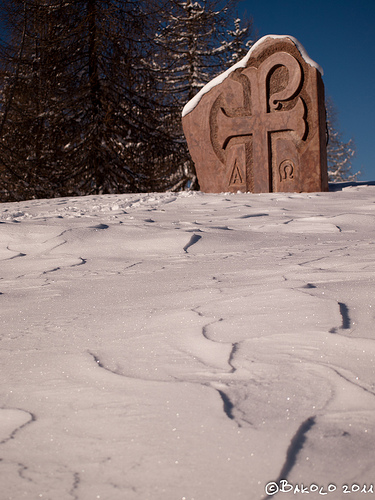
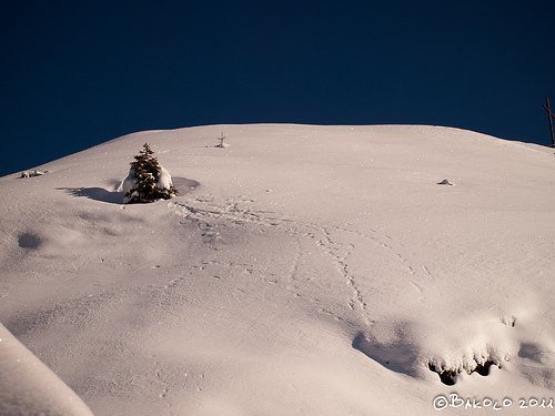
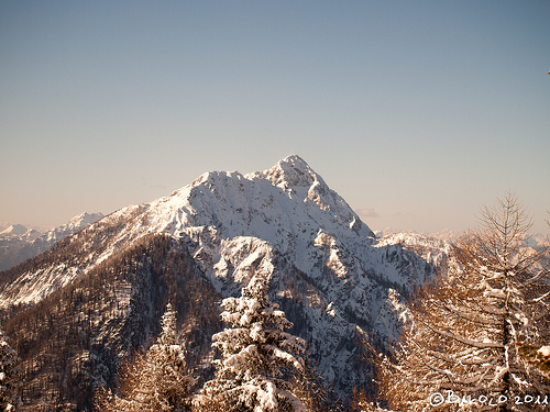
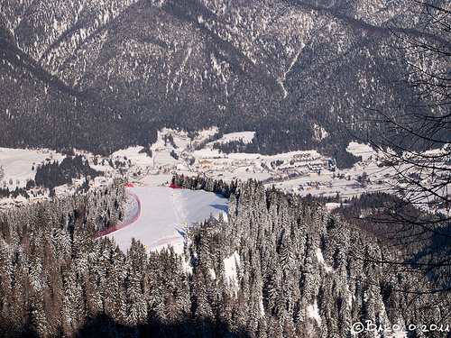
Pictures
Historical Weather
Related Locations
Information of geographic nature is based on public data provided by geonames.org, CIA world facts book, Unesco, DBpedia and wikipedia. Weather is based on NOAA GFS.