-
You are here:
- Homepage »
- Netherlands »
- South Holland » Capelle aan den IJssel

Capelle aan den IJssel Destination Guide
Discover Capelle aan den IJssel in Netherlands
Capelle aan den IJssel in the region of South Holland with its 65,255 habitants is a place located in Netherlands - some 33 mi or ( 54 km ) South-West of Amsterdam , the country's capital .
Local time in Capelle aan den IJssel is now 10:22 AM (Monday) . The local timezone is named " Europe/Amsterdam " with a UTC offset of 1 hours. Depending on your mobility, these larger cities might be interesting for you: Zwijndrecht, Zoetermeer, Utrecht, The Hague, and Rotterdam. When in this area, you might want to check out Zwijndrecht . We discovered some clip posted online . Scroll down to see the most favourite one or select the video collection in the navigation. Are you looking for some initial hints on what might be interesting in Capelle aan den IJssel ? We have collected some references on our attractions page.
Videos
Harry Potter theme park
These are the first out capture and ideas for the park ..
lego filmpje
een tank schiet een man neer en een vliegtuig word in geladen kijk ook eens naar mijn andere filmpjes als het je lukt kun je ook op de link klikken om naar mijn nieuwste filmpje te gaan maar je moet s ..
Connexxion Parkshuttle Rivium Kralingse Zoom
The initial decision to implement the ParkShuttle transportation system between subway station Kralingse Zoom and business park Rivium (city of Capelle aan den IJssel) was taken in 1995. The goal of t ..
Bavaria City Racing
Bavaria City Racing in Rotterdam, Holland. 19/08/2007 ..
Videos provided by Youtube are under the copyright of their owners.
Interesting facts about this location
Stormpolder
Stormpolder is a polder and a hamlet in the Dutch province of South Holland. It is located about 7 km east of the center of Rotterdam, in the municipality of Krimpen aan den IJssel. It lies between the Nieuwe Maas and Hollandsche IJssel rivers. Stormpolder was a separate municipality between 1817 and 1855, when it became part of Krimpen aan den IJssel.
Located at 51.92 4.58 (Lat./Long.); Less than 1 km away
De Terp (Rotterdam Metro)
De Terp is a subway station on Line C of the Rotterdam Metro and is situated in the town of Capelle aan den IJssel, just east of Rotterdam. It is the northern terminus of the line. The station was opened on May 26, 1994, as part of the extension of the East-West Line or Caland Line from Capelsebrug station. The station consists of an island platform between two tracks.
Located at 51.94 4.60 (Lat./Long.); Less than 2 km away
Oosterflank (Rotterdam Metro)
Oosterflank is a subway station on Rotterdam Metro lines A and B, and is situated in the northeastern part of Rotterdam, in the borough Prins Alexander. The station is named after the neighbourhood Oosterflank, situated just east of the subway station. This station was opened on May 28, 1983 when the East-West Line (also formerly the Caland line) was extended from its previous terminus Capelsebrug. Note that this section uses overhead wires to provide traction power.
Located at 51.95 4.55 (Lat./Long.); Less than 2 km away
Prins Alexander
Prins Alexander is a borough in the northeast of Rotterdam, Netherlands. Prins Alexander has 7 neighbourhoods: Het Lage Land Kralingseveer Nesselande Ommoord Oosterflank Prinsenland Zevenkamp
Located at 51.95 4.56 (Lat./Long.); Less than 3 km away
Graskruid (Rotterdam Metro)
Graskruid is a subway station on lines A and B of the Rotterdam Metro and is situated in the northeastern part of Rotterdam. At Graskruid station, the track splits into the two station short Line A branch and the longer Line B branch. The station consists of an island platform between two running tracks. This station was opened on May 28, 1983 when the East-West Line (also formerly called Caland line) was extended from its previous terminus Capelsebrug.
Located at 51.96 4.55 (Lat./Long.); Less than 4 km away
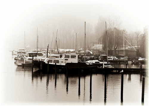
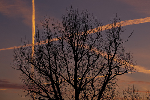
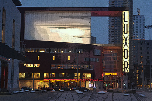
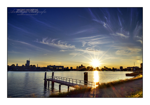
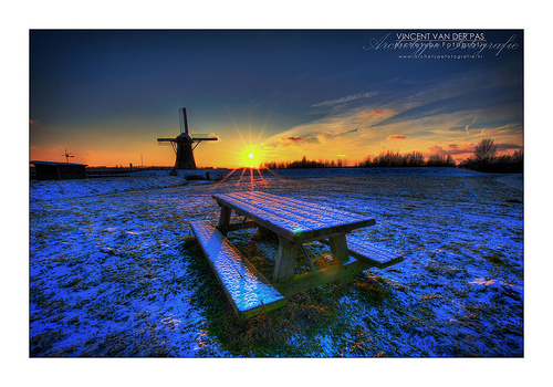
Pictures

Historical Weather
Related Locations
Information of geographic nature is based on public data provided by geonames.org, CIA world facts book, Unesco, DBpedia and wikipedia. Weather is based on NOAA GFS.