
Explore Chilibre in Panama
Chilibre in the region of Panamá with its 33,536 inhabitants is a town in Panama - some 13 mi or ( 20 km ) North-West of Panama City , the country's capital city .
Current time in Chilibre is now 04:08 AM (Saturday) . The local timezone is named " America/Panama " with a UTC offset of -5 hours. Depending on the availability of means of transportation, these more prominent locations might be interesting for you: Limón, Quibdó, Montería, Viento Franco, and San Miguelito. Since you are here already, make sure to check out Limón . We encountered some video on the web . Scroll down to see the most favourite one or select the video collection in the navigation. Where to go and what to see in Chilibre ? We have collected some references on our attractions page.
Videos
Panama Travel and Tourism
Video Courtesy of Instituto Panameño de Turismo - [IPAT] ..
Embera Indians (great music)
These are the embera indians from eastern and central Panama. They have a wonderfull sence of music and here is a little sample of it. Video quality is not the best but the flute music is fantastic ..
Embera Village - Chagres River, Panama - ZawadiSimone - Emberás indigenous people (not Indians)
This is a short video documentary of a group of Emberá indigenous people (not 'indians') whose lives are similar to those of their ancestors many centuries before. Information was gathered during my i ..
Butterfly dance of the Embera tribe
Viewer discretion is advised. Contains partial nudity, National Geographic style. I blurred out what I could the only way I could figure out -- thus certain sections of video being blurred. This is th ..
Videos provided by Youtube are under the copyright of their owners.
Interesting facts about this location
Estadio Camping Resort
Estadio Camping Resort is a Football stadium in Chilibre, Panamá who hosts ANAPROF team Alianza F.C. since 2001.
Located at 9.14 -79.62 (Lat./Long.); Less than 1 km away
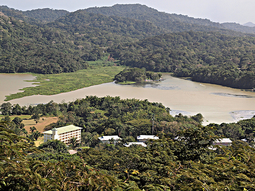
Lake Alajuela
Lake Alajuela is an artificial lake on the Chagres River created by the Madden Dam and linked to the Panama Canal. Lake Alajuela serves as a reservoir for the canal, which lies to the lake’s southwest. The Chagres, Pequení, Boquerón, Salamanca, La Puente, Indio, Piedras, San Cristóbal and Escandaloso rivers flow into the lake. The rivers of Lake Alajuela contribute 45 percent of the total water for the canal. The reservoir was formerly known as Madden Lake when the Canal Zone was under U.S.
Located at 9.21 -79.62 (Lat./Long.); Less than 7 km away
Madden Army Airfield
Madden Army Airfield is a former United States Army Air Forces World War II air base on Panama as part of the defense of the Panama Canal. The airfield was built to defend Madden Lake and Dam. The 24th Fighter Squadron was assigned to the station from 8 March to 15 August 1944 flying P-39 Aircobras.
Located at 9.19 -79.55 (Lat./Long.); Less than 8 km away
Soberanía National Park
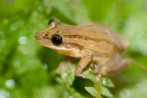
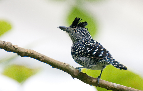
Soberanía National Park (Parque Nacional Soberanía) is a national park in Panama near the banks of the Panama Canal in the provinces of Panamá and Colón, some 25 kilometres from Panama City. The Chagres River runs through the park. Established as a national park in 1980, the park covers 55,000 acres . The park is popular with birdwatchers due to the abundance of bird species in the park, including motmots, toucans, trogons, flycatchers, antbirds, woodpeckers, tanagers, and hawks.
Located at 9.07 -79.66 (Lat./Long.); Less than 10 km away
Parque Municipal Summit
The Parque Municipal Summit (Summit Municipal Park) is a botanical garden and a zoo of 250 hectares in total area (of which 55 hectares belong to the botanical garden), which is located on the outskirts of Panama City at about kilometer 18 on the road leading to Gamboa.
Located at 9.07 -79.65 (Lat./Long.); Less than 10 km away
Pictures
Related Locations
Information of geographic nature is based on public data provided by geonames.org, CIA world facts book, Unesco, DBpedia and wikipedia. Weather is based on NOAA GFS.