-
You are here:
- Homepage »
- Spain »
- Canary Islands » Agaete

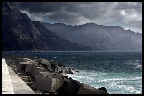
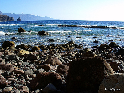
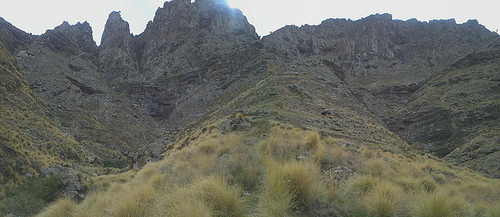
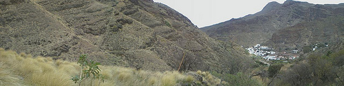
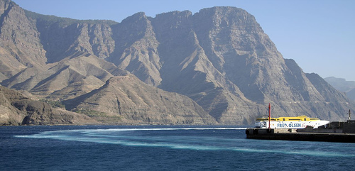
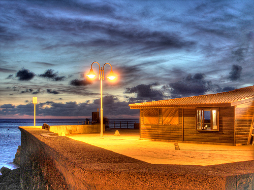
Agaete Destination Guide
Delve into Agaete in Spain
Agaete in the region of Canary Islands with its 5,459 residents is located in Spain - some 1,090 mi or ( 1755 km ) South-West of Madrid , the country's capital .
Local time in Agaete is now 02:24 AM (Monday) . The local timezone is named " Atlantic/Canary " with a UTC offset of 0 hours. Depending on your mobility, these larger destinations might be interesting for you: El Aaiún, Valleseco, Casas deTirma, Teror, and Telde. While being here, you might want to check out El Aaiún . We discovered some clip posted online . Scroll down to see the most favourite one or select the video collection in the navigation. Are you curious about the possible sightseeing spots and facts in Agaete ? We have collected some references on our attractions page.
Videos
En Clave de Ja. Chona y Chano: Chona necesita marido. Agaete 2-11-08
EnClave de Ja, un programa de sketch cómicos de la TV Canaria interpretada por el grupo de actores Instinto Cómico. Un humor canario difícil de entender por los godos. Es el programa más visto de Cana ..
En Clave de Ja. Soldado y Sargento: estamos en guerra. Agaete. 2-11-08
EnClave de Ja, un programa de sketch cómicos de la TV Canaria interpretada por el grupo de actores Instinto Cómico. Un humor canario difícil de entender por los godos. Es el programa más visto de Cana ..
En Clave de Ja. Chona en la agencia matrimonial. Agaete. 2-11-08
EnClave de Ja, un programa de sketch cómicos de la TV Canaria interpretada por el grupo de actores Instinto Cómico. Un humor canario difícil de entender por los godos. Es el programa más visto de Cana ..
Rain at Gran Canaria
in agaete, the 19th of december 2007, water flowed through the normally dry river bedding down to the beach. ..
Videos provided by Youtube are under the copyright of their owners.
Interesting facts about this location
El Dedo de Dios
El Dedo de Dios was a famous rock structure in the Atlantic Ocean, located in the northern part of Gran Canaria, one of the Canary Islands. During Tropical Storm Delta in November 2005, the thin top of the rocky monument was broken off and fell into the sea, destroying its unique characteristic that had the shape of a finger (hence the name "God's finger"). It was one of the many natural monuments of the Canary Islands located outside the coastal town of Agaete, at the north of Gran Canaria.
Located at 28.10 -15.71 (Lat./Long.); Less than 1 km away
Gáldar, Las Palmas
Gáldar is a municipality in the north of the island of Gran Canaria. Gáldar's area is 61.59 km² with a population of about 24,361 and its density is 395.53/km². Gáldar is situated in the mountains and are surrounded by valleys. Farmlands are within the coastline while the mountains lies to the southeast, the Atlantic Ocean lies to the west and to the north. A promontory is facing to the northwest.
Located at 28.13 -15.65 (Lat./Long.); Less than 6 km away
Santa María de Guía de Gran Canaria
Santa María de Guía de Gran Canaria is a municipality in Las Palmas province of the Canary Islands. It is located on the north side of Grand Canary island. Santa María's area is 42.59 km², its population of about 14,107 inhabitants and its density is 332.95/km². Its maximum elevation is 180 metres. Santa Maria is situated in a valley setting.
Located at 28.13 -15.58 (Lat./Long.); Less than 12 km away
Moya, Las Palmas
Moya is a municipality of Las Palmas province, on the Canary Islands. It is in the northern part of the Grand Canary island or Gran Canaria. Moya's area is 31.87 km² with a population of about 8,307 and its density is 250.63/km². Moya is situated in the mountains while the valleys cover the northern part, the mountains cover the southern part. Farmlands are within the coastline, the Atlantic Ocean lies to the north.
Located at 28.12 -15.57 (Lat./Long.); Less than 13 km away
Tejeda
Tejeda is a Canarian municipality in the westcentral and the central portion of the island of Gran Canaria in the Las Palmas province in the Canary Islands. Tejeda is the main city of Cumbre and is the second smallest village on the island as well as the highest municipal seat on the island. The population is 2,347, its density is 22.73/km² and the area is 103.29 km². Tejeda is situated in the mountains and the valley area that are mainly covered with greenspaces and forests.
Located at 28.00 -15.62 (Lat./Long.); Less than 14 km away
Pictures


Related Locations
Information of geographic nature is based on public data provided by geonames.org, CIA world facts book, Unesco, DBpedia and wikipedia. Weather is based on NOAA GFS.