
Delve into Benicarló in Spain
Benicarló in the region of Valencia with its 26,655 residents is located in Spain - some 217 mi or ( 350 km ) East of Madrid , the country's capital .
Local time in Benicarló is now 08:12 AM (Sunday) . The local timezone is named " Europe/Madrid " with a UTC offset of 1 hours. Depending on your mobility, these larger destinations might be interesting for you: Algiers, Valencia, Castellón de la Plana, Perpignan, and Nîmes. While being here, you might want to check out Algiers . We discovered some clip posted online . Scroll down to see the most favourite one or select the video collection in the navigation. Are you curious about the possible sightseeing spots and facts in Benicarló ? We have collected some references on our attractions page.
Videos
El Gran Hotel Peñíscola & Wellness SPA **** y su entorno
Vistas aereas nuestro establecimiemto y su entorno Air views of the Hotel and surroundings of Peñiscola (Castellón, Spain) Video propiedad del GRAN HOTEL PEÑISCOLA & WELLNESS SPA **** (Holiday Magic H ..
Vinaros
Flugaufnahme Vinaros, Fischer kommen zurück, Ferien Spanien ..
Spot de promoción de Peñíscola
Spot publicitario para fomentar el turismo en Peñíscola. ..
Inauguracion Hotel Boutique RH PortoCristo
Video de la inauguración del hotel Porto Cristo en Peñíscola ..
Videos provided by Youtube are under the copyright of their owners.
Interesting facts about this location
N-232 road (Spain)
The N-232 is a highway in Spain. It broadly follows the Rio Ebro from Logroño to the coast. It starts south east of Logroño at the Autovía LO-20 and runs parallel to the Autopista AP-68. The road passes Calahorra before it junctions with the N-113, N-121 and Autovía A-15. The road passes Tudela and thereafter has been upgraded to Autovía status. 30 km to the south east is a junction with the N-122. The road then enters Zaragoza.
Located at 40.47 0.43 (Lat./Long.); Less than 6 km away
Baix Maestrat
Baix Maestrat is a comarca in the province of Castellón, Valencian Community, Spain.
Located at 40.47 0.47 (Lat./Long.); Less than 7 km away
Maestrazgo, Aragon
Maestrazgo is a comarca in southeastern Aragon, Spain. Its names derives from the Maestrat/Maestrazgo mountain massif that extends to the east to the Comarques of the Valencian Community Alt Maestrat and Baix Maestrat. The most important town is Cantavieja. It is bordered by the Aragonese comarcas of Andorra-Sierra de Arcos, Cuencas Mineras, Comunidad de Teruel and Bajo Aragón, in the north and in the west and Gúdar-Javalambre in the south, as well as with the Castellón Province in the east.
Located at 40.50 0.40 (Lat./Long.); Less than 10 km away
Natural Park of Serra d'Irta
The Natural Park of Serra d'Irta (Valencian: Parc Natural de la Serra d'Irta, Spanish: Parque Natural de la Sierra de Irta) is a natural park with 7,744 hectares of land, as well as a marine nature reserve. These mountain and shoreline areas were declared a protected area by the Valencian government on July 16, 2002. The park protects the environment of large zones of the Serra d'Irta mountain range and of the adjacent Mediterranean Sea coastal area in the Costa del Azahar.
Located at 40.28 0.33 (Lat./Long.); Less than 18 km away
Sénia River
The Sénia River (Catalan: Riu de la Sénia, Spanish: Río Cenia) is a river in the provinces of Castellón and Tarragona, Spain. It begins its course at 1,200 m in the Barranc del Salt, Ports de Beseit. limestone massif near La Pobla de Benifassà. The Sénia flows from west to east marking the historical limits between Catalonia and the Valencian Community. It ends its course in the Mediterranean Sea at Sòl de Riu. , between Vinaròs and Alcanar municipalities. Its flow is highly irregular.
Located at 40.60 0.44 (Lat./Long.); Less than 20 km away
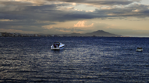
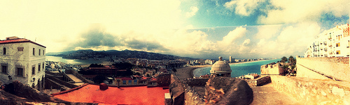
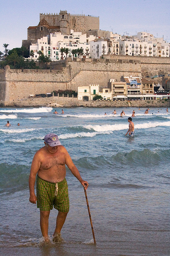
Pictures


Historical Weather
Related Locations
Information of geographic nature is based on public data provided by geonames.org, CIA world facts book, Unesco, DBpedia and wikipedia. Weather is based on NOAA GFS.