-
You are here:
- Homepage »
- United Kingdom »
- England » Bethersden

Bethersden Destination Guide
Explore Bethersden in United Kingdom
Bethersden in the region of England is a town in United Kingdom - some 46 mi or ( 74 km ) South-East of London , the country's capital city .
Current time in Bethersden is now 07:01 AM (Thursday) . The local timezone is named " Europe/London " with a UTC offset of 0 hours. Depending on the availability of means of transportation, these more prominent locations might be interesting for you: Willesborough, Ruckinge, London, Lenham, and Kingsnorth. Since you are here already, make sure to check out Willesborough . We encountered some video on the web . Scroll down to see the most favourite one or select the video collection in the navigation. Where to go and what to see in Bethersden ? We have collected some references on our attractions page.
Videos
Kent & East Sussex Railway
A group of us went to the K&ESR on the 29th July 2007 for a day out. We all had a great time and plan on another trip out next year... ..
Kent & East Sussex Railway 1993
A visit to the Kent and East Sussex Railway (K&ESR) during a family vacation to the South of England in June of 1993. My association with the K&ESR goes back to 1974 when I joined the society whilst a ..
From Tenterden Town to Bodiam with the Southern 65
A Journey with the Southern 65 of the Kent & East Sussex Railway On the 1st of July 2010 ..
Tenterden - Low level visit
A trip around Tenterden on a spring day... ..
Videos provided by Youtube are under the copyright of their owners.
Interesting facts about this location
Pluckley railway station
Pluckley railway station serves Pluckley in Kent, and is located approximately 1.2 miles south of the village. The station, and all trains serving it, are operated by Southeastern. The ticket office is manned only during part of the day; at other times a PERTIS 'permit to travel' machine, located outside the station building on the 'down' side, suffices. The station opened with this section of the South Eastern Main Line on 1 December 1842.
Located at 51.16 0.75 (Lat./Long.); Less than 3 km away
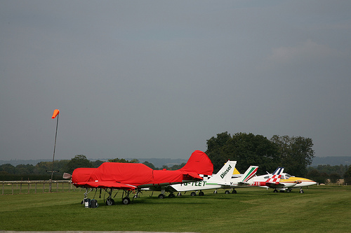
RAF High Halden
RAF High Halden is a former Royal Air Force Advanced Landing Ground in Kent, England. The airfield is located approximately 8 miles west-southwest of Ashford; about 50 miles southeast of London. Opened in 1944, Ashford was a prototype for the type of temporary Advanced Landing Ground type airfield which would be built in France after D-Day, when the need advanced landing fields would become urgent as the Allied forces moved east across France and Germany.
Located at 51.12 0.70 (Lat./Long.); Less than 3 km away
RAF Woodchurch
42-28473]] RAF Station Woodchurch is a former World War II airfield in Kent, England. The airfield is located approximately 5 miles west of Ashford; about 50 miles southeast of London. Opened in 1943, Woodchurch was a prototype for the type of temporary Advanced Landing Ground type airfield which would be built in France after D-Day, when the need advanced landing fields would become urgent as the Allied forces moved east across France and Germany.
Located at 51.09 0.78 (Lat./Long.); Less than 4 km away
RAF Ashford
RAF Ashford is a former Royal Air Force Advanced Landing Ground in Kent, England. The landing ground is located approximately 3 miles west of Ashford; about 50 miles southeast of London Opened in 1943, Ashford was one of several a prototypes for the temporary Advanced Landing Ground airfields built in France after D-Day, required as the Allied forces moved east across France and Germany. It was used by British, Dominion and the United States Army Air Forces. It was closed in September 1944.
Located at 51.13 0.82 (Lat./Long.); Less than 4 km away
Ashford (UK Parliament constituency)
Ashford is a constituency represented in the House of Commons of the UK Parliament since 1997 by Damian Green of the Conservative Party.
Located at 51.10 0.80 (Lat./Long.); Less than 5 km away
Pictures

Historical Weather
Related Locations
Information of geographic nature is based on public data provided by geonames.org, CIA world facts book, Unesco, DBpedia and wikipedia. Weather is based on NOAA GFS.