-
You are here:
- Homepage »
- United Kingdom »
- England » Broxbourne

Broxbourne Destination Guide
Discover Broxbourne in United Kingdom
Broxbourne in the region of England with its 13,298 habitants is a town located in United Kingdom - some 17 mi or ( 28 km ) North of London , the country's capital .
Local time in Broxbourne is now 08:24 AM (Saturday) . The local timezone is named " Europe/London " with a UTC offset of 0 hours. Depending on your flexibility, these larger cities might be interesting for you: Wormley, Woodford Green, Reading, Potters Bar, and Portsmouth. When in this area, you might want to check out Wormley . We found some clip posted online . Scroll down to see the most favourite one or select the video collection in the navigation. Are you looking for some initial hints on what might be interesting in Broxbourne ? We have collected some references on our attractions page.
Videos
Hertford Regional College (HRC) Air Cabin Crew student
Hertford Regional College Toursim and Aviation student talks about her Aib Cabin Crew course and the use of HRC's 18 seat aircraft cabin for training. ..
N gauge layout progress for coming exhibition. Graham farish class 47 & 60
Update on my N gauge layout i am building for Novembers Exhibition. Some progress has been made mostly Metcalffe buildings and the station building and car park. Still plenty to do but should be ready ..
A BroxBourne River
A BroxBourne River 19th April 2007 ..
old skool Funky beats & breaks part 1
funky beats & breaks old skool late 90s mixed ..
Videos provided by Youtube are under the copyright of their owners.
Interesting facts about this location
Cannix
Cannix otherwise Canwykes or Broxbournes, is an area near Broxbourne, Hertfordshire, England. It was named from its early tenants, and was held of the manor of Stevenage by military service. It seems to have been identical with the messuage and virgate held of the Abbot of Westminster in 1315 by John de Broxbourne. Nothing more is heard of the estate until about 1509, when William Canwyke paid a relief of 40s.
Located at 51.75 -0.02 (Lat./Long.); Less than 0 km away
New River (England)
The New River is an artificial waterway in England, opened in 1613 to supply London with fresh drinking water taken from the River Lea and from Chadwell Springs and Amwell Springs (which had ceased to flow by the end of the 19th century), and other springs and wells along its course.
Located at 51.75 -0.01 (Lat./Long.); Less than 0 km away
Sheredes Primary School
Sheredes Primary School and Nursery is a popular and consistently oversubscribed community primary school for 3 to 11 year olds in Hoddesdon, Hertfordshire, United Kingdom. According to Ofsted, Sheredes is larger than most primary schools. It is greatly oversubscribed and new building work is being completed so that pupil numbers can increase further. It has an attached nursery. Children attend the nursery part-time.
Located at 51.75 -0.02 (Lat./Long.); Less than 1 km away
Spital Brook
Spital Brook is a minor tributary of the River Lea which rises in Hoddesdonpark Wood in the county of Hertfordshire, England. Spital Brook flows eastwards from Hoddesdonpark Wood, passing through Barclay Park, the former Hoddesdon Common, on its journey to the Lea, while an unnamed parallel stream to the south has been diverted to form ornamental waterbodies located within the former parkland of Broxbournebury.
Located at 51.75 -0.01 (Lat./Long.); Less than 1 km away
Carthagena Weir
Carthagena Weir is a weir located at Broxbourne on the River Lea. The well oxygenated water with depths ranging to over 16 ft, makes it an ideal environment for coarse fish including the barbel.
Located at 51.74 -0.00 (Lat./Long.); Less than 1 km away
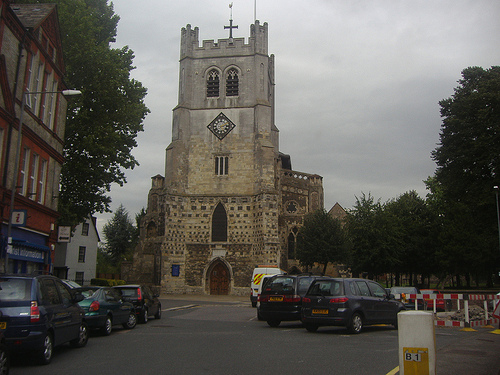
Pictures
Historical Weather
Related Locations
Information of geographic nature is based on public data provided by geonames.org, CIA world facts book, Unesco, DBpedia and wikipedia. Weather is based on NOAA GFS.