-
You are here:
- Homepage »
- United Kingdom »
- England » Burnham Market

Burnham Market Destination Guide
Discover Burnham Market in United Kingdom
Burnham Market in the region of England is a town located in United Kingdom - some 106 mi or ( 170 km ) North of London , the country's capital .
Local time in Burnham Market is now 12:05 PM (Sunday) . The local timezone is named " Europe/London " with a UTC offset of 0 hours. Depending on your flexibility, these larger cities might be interesting for you: West Raynham, West Barsham, Wells-on-Sea, Tattersett, and Tatterford. When in this area, you might want to check out West Raynham . We found some clip posted online . Scroll down to see the most favourite one or select the video collection in the navigation. Are you looking for some initial hints on what might be interesting in Burnham Market ? We have collected some references on our attractions page.
Videos
Wells-next-the-Sea in the 1970s
Archive 8mm film of the North Norfolk coastal resort. ..
Incoming tide at Holkham Beach, in realtime.
It's in North Norfolk, UK. Radiohead made the music. ..
Wells-next-the-Sea Carnival 1994
Carnival day at Wells. The floats gather at the Buttlands then leave for the round-the-town procession, returning via Staithe Street. ..
The Albatros
Ship/pub/restaurant the Albatros, moored at Wells harbour, Norfolk ..
Videos provided by Youtube are under the copyright of their owners.
Interesting facts about this location
Burnham Market railway station
Burnham Market was a railway station which served the village of Burnham Market in Norfolk, England. Opened by the West Norfolk Junction railway in 1866, it closed with the line in 1952.
Located at 52.94 0.73 (Lat./Long.); Less than 0 km away
The Norfolk Burnhams
The Norfolk Burnhams are a group of adjacent villages on the north coast of Norfolk, England. The villages are located at the sea near a large natural bay named Brancaster Bay and the Scolt Head Island National Nature Reserve. A medieval verse speaks of London York and Coventry and the Seven Burnhams by the sea. The Domesday Book of 1086 also mentions some of the Burnhams (see external links). At one time there were indeed seven Burnham villages, all within a radius of two miles.
Located at 52.95 0.74 (Lat./Long.); Less than 1 km away
Union Mills, Burnham Overy
Union Mills or Roy's Mills are a Grade II listed combined tower mill and watermill at Burnham Overy, Norfolk, England which has been converted to residential accommodation.
Located at 52.96 0.73 (Lat./Long.); Less than 2 km away
Burnham Overy Staithe Windmill
Burnham Overy Staithe Windmill is a Grade II* listed building tower mill at Burnham Overy Staithe, Norfolk, England which has been converted to holiday accommodation.
Located at 52.96 0.73 (Lat./Long.); Less than 2 km away
River Burn, Norfolk
The River Burn (also known as "Nelsons River") is a river in the northwest of the County of Norfolk. From its source to its mouth on the North Coast of Norfolk it is 9.8 miles long. The river has a fall of 36 metres to the sea. The source is one mile south of the village of South Creake, in a small copse west of a bend in London Lane. From the source it runs northeast towards the village of South Creake, where at Fakenham road it turns northwest and run through the village.
Located at 52.96 0.73 (Lat./Long.); Less than 2 km away
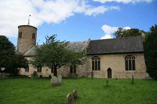
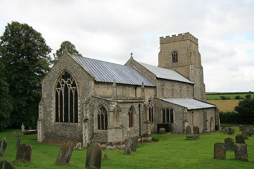
Pictures
Historical Weather
Related Locations
Information of geographic nature is based on public data provided by geonames.org, CIA world facts book, Unesco, DBpedia and wikipedia. Weather is based on NOAA GFS.