-
You are here:
- Homepage »
- United Kingdom »
- England » Iver

Iver Destination Guide
Discover Iver in United Kingdom
Iver in the region of England with its 7,492 habitants is a town located in United Kingdom - some 16 mi or ( 26 km ) West of London , the country's capital .
Local time in Iver is now 09:44 AM (Sunday) . The local timezone is named " Europe/London " with a UTC offset of 0 hours. Depending on your flexibility, these larger cities might be interesting for you: Yiewsley, Windsor, Watford, Southampton, and Slough. When in this area, you might want to check out Yiewsley . We found some clip posted online . Scroll down to see the most favourite one or select the video collection in the navigation. Are you looking for some initial hints on what might be interesting in Iver ? We have collected some references on our attractions page.
Videos
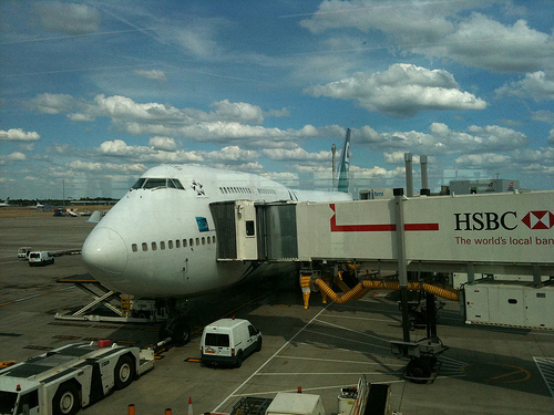
ULTra PRT at Heathrow - POV ride
The ULTra Personal Rapid Transit (PRT) system is a revolutionary new transportation technology which is currently being tested at Heathrow Airport, and will open to the public in the spring of 2009. T ..
Heathrow Pod - Personal Rapid Transit
A journey on the Heathrow Pod from Station A to Terminal 5. The Heathrow Pod is a "personal rapid transit" system developed by ULTra. Pods run on demand between Terminal 5 of London Heathrow Airport ( ..
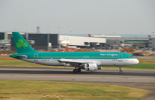
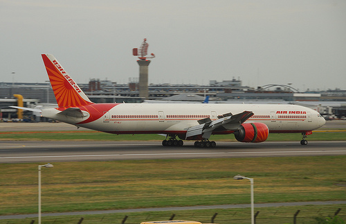
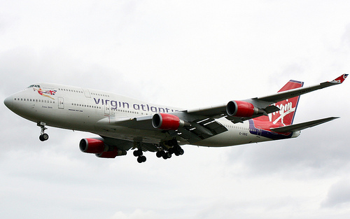
Plane take-off (London-Tokyo)
London, Heathrow Airport terminal 5 to Tokyo, Narita. Just for the sake of documenting my trip to Japan and for my friends since they asked for it :) ..
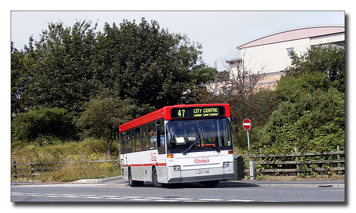
Bus 350 from Heathrow T5 to Sispon
A journey on Bus 350 from London Heathrow Airport terminal LHR-T5 to Sipson ..
Videos provided by Youtube are under the copyright of their owners.
Interesting facts about this location
Thorney, Buckinghamshire
Thorney is a hamlet in the parish of Iver, in Buckinghamshire, England.
Located at 51.50 -0.49 (Lat./Long.); Less than 1 km away
Waterside (building)
The Waterside building in Harmondsworth, London, is the international head office of British Airways. The building, which cost £200 million, is located on Harmondsworth Moor, northwest of Heathrow Airport, between the M4 and the M25 motorways. Waterside is on the western edge of London, near West Drayton and Uxbridge, in the Borough of Hillingdon
Located at 51.49 -0.49 (Lat./Long.); Less than 2 km away
Harmondsworth Immigration Removal Centre
Harmondsworth Immigration Removal Centre is an immigration detention facility in Harmondsworth, London Borough of Hillingdon, near London Heathrow Airport. Harmondsworth, which neighbours the Colnbrook Immigration Removal Centre, holds around 620 men.
Located at 51.48 -0.48 (Lat./Long.); Less than 2 km away
Colnbrook Immigration Removal Centre
Colnbrook Immigration Removal Centre is located in Harmondsworth, London Borough of Hillingdon. Colnbrook, adjacent to Harmondsworth Immigration Removal Centre and London Heathrow Airport, houses males and females. Colnbrook, which opened in August 2004, is built to Class B prison standards, making it the highest security immigration removal centre in the United Kingdom. Colnbrook had 308 bed spaces.
Located at 51.48 -0.48 (Lat./Long.); Less than 2 km away
Cowley, London
Cowley is a village contiguous with the town of Uxbridge in the London Borough of Hillingdon. A largely suburban village with 16 listed buildings, Cowley is 15.4 miles (24.8 km) west of Charing Cross, bordered to the west by Uxbridge Moor in the Green Belt and the River Colne, forming the border with Buckinghamshire. Cowley lies on a ridge 28 to 45 m (to ft) above mean sea level.
Located at 51.52 -0.49 (Lat./Long.); Less than 2 km away
Pictures


Related Locations
Information of geographic nature is based on public data provided by geonames.org, CIA world facts book, Unesco, DBpedia and wikipedia. Weather is based on NOAA GFS.