-
You are here:
- Homepage »
- United Kingdom »
- England » Kessingland

Kessingland Destination Guide
Discover Kessingland in United Kingdom
Kessingland in the region of England with its 4,305 habitants is a town located in United Kingdom - some 100 mi or ( 161 km ) North-East of London , the country's capital .
Local time in Kessingland is now 09:21 PM (Friday) . The local timezone is named " Europe/London " with a UTC offset of 0 hours. Depending on your flexibility, these larger cities might be interesting for you: Wenhaston, Wangford, Walberswick, Southend-on-Sea, and South Cove. When in this area, you might want to check out Wenhaston . We found some clip posted online . Scroll down to see the most favourite one or select the video collection in the navigation. Are you looking for some initial hints on what might be interesting in Kessingland ? We have collected some references on our attractions page.
Videos
Tug in North Sea Storm
Small tug boat struggling in heavy seas off of Lowestoft 17.12.09. Subscribe to the TeamPeak boys at www.youtube.com ..
PAUL PHOENIX ELVIS HURT
A BEAUTIFUL SONG THAT ELVIS RECORDED IN HIS LATE PERIOD ..HE HAD BECOME MUCH MORE OPERATIC IN HIS STYLE SO THIS WAS A REAL CHALLENGE TO REPRESENT. ALSO ,AN ALTERNATIVE ARRANGEMENT ON THIS VERSION FEAT ..
ELVIS CHRISTMAS CONCERT BY PAUL PHOENIX
LIVE FROM THE ELVIS CHRISTMAS CONCERT AT ST JOHNS CHURCH, GREAT YARMOUTH.BIOG: PAUL PHOENIX PERFORMS AS ELVIS AND ALSO AS HIMSELF IN THEATRE SHOWS AND FUNCTIONS THROUGHOUT THE EAST OF ENGLAND. HE HAS ..
ELVIS IF I CAN DREAM PHOENIX
BIOG: PAUL PHOENIX PERFORMS AS ELVIS AND ALSO AS HIMSELF IN THEATRE SHOWS AND FUNCTIONS THROUGHOUT THE EAST OF ENGLAND. HE HAS PREVIOUSLY WORKED AS SIR TOM JONES' PERSONAL BACKING SINGER HERE & IN GER ..
Videos provided by Youtube are under the copyright of their owners.
Interesting facts about this location
Lothingland Rural District
Lothingland was a rural district in East Suffolk, England, named after the ancient half-hundred of Lothingland which was merged with Mutford half-hundred in 1763 to form Mutford and Lothingland. The rural district was formed in 1934 by the merger of most of Mutford and Lothingland Rural District along with part of Blythling Rural District, both of which were being abolished. It covered a coastal area between Great Yarmouth and Lowestoft.
Located at 52.44 1.71 (Lat./Long.); Less than 2 km away
Benacre Broad
Benacre Broad is an isolated body of water on the North Sea coast of the English county of Suffolk. It is located in the parish of Benacre, Suffolk about 5.75 miles south of Lowestoft and 5 miles north of Southwold. The village of Covehithe is just to the south, Kessingland to the north. The broad is part of Benacre National Nature Reserve, a reserve managed by Natural England.
Located at 52.39 1.71 (Lat./Long.); Less than 4 km away
St. Peter's Church, Carlton Colville
St. Peter's Church is the Anglican parish church in the village of Carlton Colville, near Lowestoft in Suffolk, England. It is a small church with 13th century origins, the oldest recorded building in the village. The structure is Grade II* listed building. The church as it stands today is largely Victorian however, rebuilt in the style of a medieval church in the 1880s – the church had a wealthy rector, who had the church almost completely rebuilt at his own expense.
Located at 52.45 1.69 (Lat./Long.); Less than 4 km away
Lowestoft (UK Parliament constituency)
Lowestoft was a parliamentary constituency centred on the town of Lowestoft in Suffolk. It returned one Member of Parliament (MP) to the House of Commons of the Parliament of the United Kingdom, elected by the first past the post voting system. It was more often won by the Conservative Party than not, although its representatives include two from the Liberal Party and one from the Labour Party.
Located at 52.45 1.68 (Lat./Long.); Less than 4 km away
Kirkley & Pakefield F.C
Kirkley & Pakefield F.C. is an English football club based in the Lowestoft suburb of Kirkley, Suffolk. The club are currently members of the Eastern Counties League Premier Division and play at Walmer Road.
Located at 52.46 1.73 (Lat./Long.); Less than 4 km away
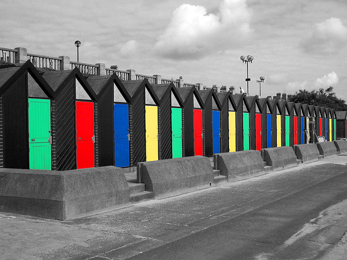
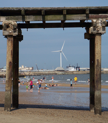
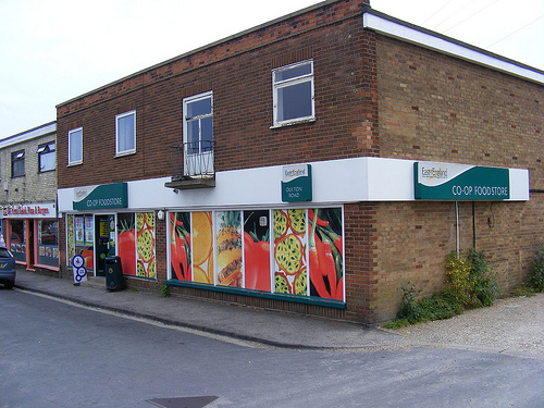
Pictures

Historical Weather
Related Locations
Information of geographic nature is based on public data provided by geonames.org, CIA world facts book, Unesco, DBpedia and wikipedia. Weather is based on NOAA GFS.