-
You are here:
- Homepage »
- United Kingdom »
- England » Mattishall

Mattishall Destination Guide
Explore Mattishall in United Kingdom
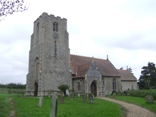
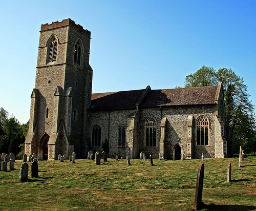
Mattishall in the region of England with its 2,428 inhabitants is a town in United Kingdom - some 93 mi or ( 150 km ) North-East of London , the country's capital city .
Current time in Mattishall is now 06:02 PM (Monday) . The local timezone is named " Europe/London " with a UTC offset of 0 hours. Depending on the availability of means of transportation, these more prominent locations might be interesting for you: Worthing, Southend-on-Sea, Rockland Saint Peter, Norwich, and North Tuddenham. Since you are here already, make sure to check out Worthing . We encountered some video on the web . Scroll down to see the most favourite one or select the video collection in the navigation. Where to go and what to see in Mattishall ? We have collected some references on our attractions page.
Videos
ARMIK Rossa Nova & my LONDON 2010.wmv
London was a city of my dream, now it is the Great city of my admiration and love. (Photos are made in September 2010) Armik Music is always and everywhere in my soul. ..
Mid Norfolk Railway 'Spring Diesel Gala' 30.03.2012 Part 1/3
Part 1/3. The Mid Norfolk Railway held it's 'Spring Diesel Gala' over the weekend of the 30th and 31st March and 1st April. This years event was entitled the English Electric Extravaganza as all the l ..
Mid-Norfolk Railway Class 47 Jubilee - 21/09/2012
To celebrate the 50th anniversary of the Class 47, the Mid-Norfolk Railway held a special Jubilee Gala. This is my footage from the Friday, 21/09/2012. Locos taking part today were: 47292 47375 "Tinsl ..
6023 King Edward II on the MNR
14th July 2011. 6023 King Edward II on the Mid Norfolk Railway. Arriving and departing Yaxham, departing Thuxton and regaining single track and the long, drawn-out run-round at Wymondham Abbey. ..
Videos provided by Youtube are under the copyright of their owners.
Interesting facts about this location
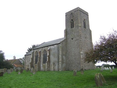
Welborne
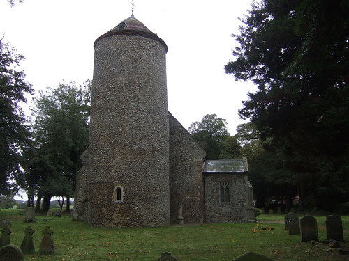
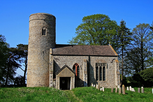
Welborne is a small village in Norfolk, England. Its church, All Saints, is one of 124 existing round-tower churches in Norfolk.
Located at 52.65 1.05 (Lat./Long.); Less than 2 km away
Norfolk
Norfolk is a low-lying county in the East of England. It has borders with Lincolnshire to the west, Cambridgeshire to the west and southwest and Suffolk to the south. Its northern and eastern boundaries are the North Sea coast and to the north-west the county is bordered by The Wash. The city of Norwich is the county town at Norfolk which is fifth largest ceremonial county in England, with an area of 5,371 km² (2,074 sq mi).
Located at 52.67 1.00 (Lat./Long.); Less than 2 km away
Thuxton railway station
Thuxton is a railway station in the village of Thuxton in the English county of Norfolk. The station is served by heritage services operated by the Mid-Norfolk Railway on the line from Dereham to Wymondham. When re-opened by the Mid-Norfolk Railway in 1995 the station was initially used as a request stop, but was returned to full stopping status on 16 June 2002. The waiting rooms on the down platform have been restored by their private owner for use as holiday accommodation.
Located at 52.62 1.00 (Lat./Long.); Less than 4 km away
Breckland District
Breckland District is a local government district in Norfolk, England. Its council is based in East Dereham. Breckland District derives its name from the Breckland landscape region, a gorse covered sandy heath of south Norfolk and north Suffolk. The term Breckland is ancient, and is found as early as the 13th century in the form Brakelond.
Located at 52.63 0.98 (Lat./Long.); Less than 4 km away
Dereham Town F.C
Dereham Town F.C. is an English football club based in Dereham, Norfolk. The club are currently members of the Eastern Counties League Premier Division and play at Aldiss Park.
Located at 52.68 0.97 (Lat./Long.); Less than 5 km away
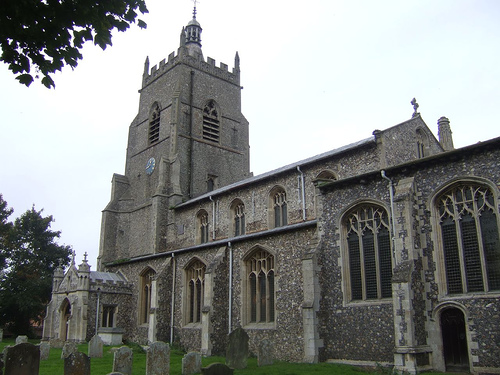
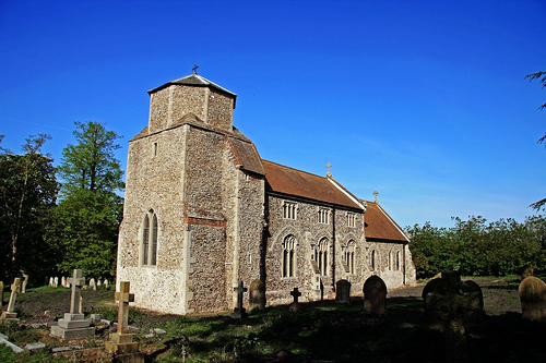
Pictures
Historical Weather
Related Locations
Information of geographic nature is based on public data provided by geonames.org, CIA world facts book, Unesco, DBpedia and wikipedia. Weather is based on NOAA GFS.