-
You are here:
- Homepage »
- United Kingdom »
- England » Netherton

Netherton Destination Guide
Delve into Netherton in United Kingdom
Netherton in the region of England with its 2,587 residents is located in United Kingdom - some 107 mi or ( 172 km ) North-West of London , the country's capital .
Local time in Netherton is now 03:23 AM (Thursday) . The local timezone is named " Europe/London " with a UTC offset of 0 hours. Depending on your mobility, these larger destinations might be interesting for you: Wolverhampton, West Bromwich, Walsall, Sheffield, and Oxford. While being here, you might want to check out Wolverhampton . We discovered some clip posted online . Scroll down to see the most favourite one or select the video collection in the navigation. Are you curious about the possible sightseeing spots and facts in Netherton ? We have collected some references on our attractions page.
Videos
How to make dreadlocks from start to finish - Part 2.mp4
The finished dreads with a quick update after my first sleep up on em! ..
Intek H-520 PLUS Handie Talkie in Action
Video demonstrating how good these handie talkies are using just 1 watt! ..
Black Country Living Museum 2011
As seen on ITV. Covering 26 acres of former industrial land, Black Country Living Museum is uniquely placed to tell the story of the creation of the world's first industrial landscape. Over fifty auth ..
Netherton Tunnel South Portal - Going in
This is a film of me on a trip into and out of the Netherton Tunnel. Its 9081 feet (2788 m) long. Netherton Tunnel was the last canal tunnel to be built in Britain during the Canal Age. The first sod ..
Videos provided by Youtube are under the copyright of their owners.
Interesting facts about this location
Netherton Reservoir
Netherton Reservoir - otherwise known as Lodge Farm Reservoir - is a canal feeder reservoir in the Netherton district of Dudley, England. It opened in 1838, and is now used for watersports, as well as supplying water to the canal system.
Located at 52.48 -2.09 (Lat./Long.); Less than 1 km away
Windmill End railway station
Windmill End railway station was a station on the former Great Western Railway's Bumble Hole Line between Blowers Green and Old Hill. It opened in 1878, was destaffed in 1952 and closed in 1964. It was immortalised in that year as the closing words of the song "Slow Train" by Flanders and Swann. The railway, however, remained open for another four years. The site of the railway and the station had been obliterated by the end of the 1970s. It has now been largely reclaimed by nature.
Located at 52.49 -2.07 (Lat./Long.); Less than 1 km away
Cobb's Engine House
Cobb's Engine House (properly known as Windmill End Pumping Station) in Rowley Regis, West Midlands, England, is a scheduled ancient monument and a Grade II listed building built around 1831. It housed a stationary steam pump used to pump water firstly from Windmill End Colliery and later other mines in the area. Utilizing a shaft 525 feet deep, 1,600,000 litres of water were pumped from the mines into the canal daily.
Located at 52.49 -2.07 (Lat./Long.); Less than 1 km away
Cradley Heath railway station
Cradley Heath railway station serves the town of Cradley Heath in the West Midlands of England. It is located on the Birmingham to Worcester via Kidderminster Line. The station is managed by London Midland, who provide the majority of train services; there are also occasional services provided by Chiltern Railways. Cradley Heath is the nearest station to the Merry Hill Shopping Centre in Brierley Hill, and connecting bus services are provided.
Located at 52.47 -2.09 (Lat./Long.); Less than 2 km away
Harts Hill railway station
Harts Hill railway station was a station on the Oxford-Worcester-Wolverhampton Line. It was opened in 1895 by a GWR keen to invest in what was perceived to be the lucrative passenger area of the Black Country, and it was intended to serve the communities between Brierley Hill and Dudley. It closed, like many passenger stations, in 1916 due to the First World War, but was consequently never re-opened when the passengers failed to materialise.
Located at 52.49 -2.11 (Lat./Long.); Less than 2 km away
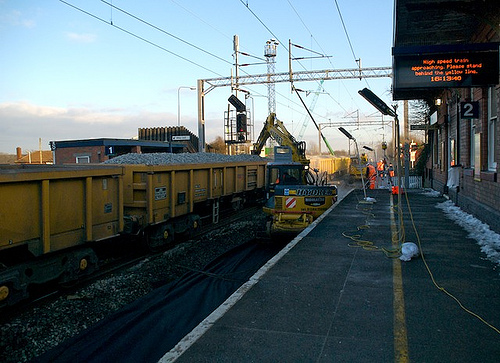
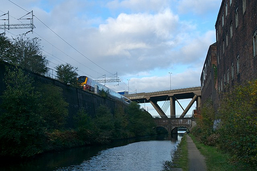
Pictures

Related Locations
Information of geographic nature is based on public data provided by geonames.org, CIA world facts book, Unesco, DBpedia and wikipedia. Weather is based on NOAA GFS.