-
You are here:
- Homepage »
- United Kingdom »
- England » Risby

Risby Destination Guide
Touring Risby in United Kingdom
Risby in the region of England is located in United Kingdom - some 61 mi or ( 99 km ) North-East of London , the country's capital city .
Time in Risby is now 05:18 PM (Thursday) . The local timezone is named " Europe/London " with a UTC offset of 0 hours. Depending on your budget, these more prominent places might be interesting for you: Thetford, London Borough of Sutton, Risby, Peterborough, and Norwich. Being here already, consider visiting Thetford . We collected some hobby film on the internet . Scroll down to see the most favourite one or select the video collection in the navigation. Check out our recommendations for Risby ? We have collected some references on our attractions page.
Videos
INSPIRATIONAL GUITAR MUSIC--- A BRAND NEW DAY
An inspirational video (more up tempo this time) highlighting the beauty of Planet Earth. Special thanks to Krystyana and Terry for the great images. The music from this video can be downloaded free o ..
Bury St. Edmunds June 1991
Bury St Edmunds is a historic market town in the county of Suffolk. Footage of the 2nd of June 1991 ..
Aer Lingus Airbus A320 Landing at London Heathrow Airport *Wing View*
*** SEE MORE INFO FOR ADDONS *** Welcome back! Here you have an Airbus A320 landing at London Heathrow Airport (LHR) with real sound used. Enjoy! Addons used: - Aircraft Overland/ Simmer's Sky Airbus ..
West Stow Anglo Saxon Village, June 1991
West Stow Anglo-Saxon village where visitors may see reconstructed Anglo-Saxon houses, and often living history re-enactments of Dark Ages life. ..
Videos provided by Youtube are under the copyright of their owners.
Interesting facts about this location
Saxham Hall
Saxham Hall is a two storey Palladian house situated at Great Saxham, just outside Bury St Edmunds in Suffolk, England. It is a Grade II listed building. The hall was designed by Joseph Patience and dates from 1798. Its most striking feature is the large, generous portico, which has a pediment with arms and large columns. Inside, fine painted ceilings are of note, along with a room decorated by the 18th century artist Angelica Kauffmann R.A.
Located at 52.23 0.62 (Lat./Long.); Less than 3 km away
Hengrave Hall
Hengrave Hall is a Tudor manor house near Bury St. Edmunds in Suffolk, England and was the seat of the Kytson and Gage families 1525-1887. Both families were Roman Catholic Recusants.
Located at 52.28 0.67 (Lat./Long.); Less than 4 km away
Little Saxham
Little Saxham is a small village in Suffolk, England. The village appears as Sexham in the Domesday Book and as Saxham Parva in 1254.
Located at 52.23 0.62 (Lat./Long.); Less than 4 km away
St Edmundsbury
St Edmundsbury is a local government district and borough in Suffolk, England. It is named after its main town, Bury St Edmunds. The second town in the district is Haverhill. The district was formed on 1 April 1974 under the Local Government Act 1972 (with the abolition of West Suffolk) by the merger of the Borough of Bury St Edmunds, Haverhill Urban District, Clare Rural District and Thingoe Rural District. Until March 2009 its main offices were in Bury St Edmunds (Angel Hill and Western Way).
Located at 52.25 0.70 (Lat./Long.); Less than 5 km away
Thingoe Rural District
Thingoe Rural District was a rural district in the county of West Suffolk, England. It was created in 1894. On 1 April 1935 the parish of Depden was transferred to the Clare Rural District. On the same date the district was enlarged by the transfer of the civil parishes of Barnham, Barningham, Coney Weston, Euston, Fakenham Magna, Hepworth, Honington, Hopton, Knettishall, Market Weston, Sapiston, and Thelnetham from the disbanded Brandon Rural District.
Located at 52.22 0.63 (Lat./Long.); Less than 5 km away
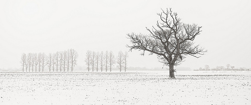
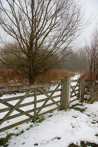
Pictures

Historical Weather
Related Locations
Information of geographic nature is based on public data provided by geonames.org, CIA world facts book, Unesco, DBpedia and wikipedia. Weather is based on NOAA GFS.