-
You are here:
- Homepage »
- United Kingdom »
- N Ireland » Crossgar

Crossgar Destination Guide
Explore Crossgar in United Kingdom
Crossgar in the region of N Ireland with its 1,667 inhabitants is a town in United Kingdom - some 306 mi or ( 492 km ) North-West of London , the country's capital city .
Current time in Crossgar is now 08:35 AM (Wednesday) . The local timezone is named " Europe/London " with a UTC offset of 0 hours. Depending on the availability of means of transportation, these more prominent locations might be interesting for you: Struell, Strangford, Seaforde, Saintfield, and Portaferry. Since you are here already, make sure to check out Struell . We saw some video on the web . Scroll down to see the most favourite one or select the video collection in the navigation. Where to go and what to see in Crossgar ? We have collected some references on our attractions page.
Videos
Oliver! - Where Is Love? (with lyrics)
A young Jacq is introduced by Diarmuid Taggart to sing "Where is love?" with St Patrick's Choral Society, Downpatrick, Northern Ireland. From the musical Oliver! starring Mark Lester as Oliver Twist; ..
Downpatrick Railway Easter Specials 2009
A short film depicting some of the steam train operations at the Downpatrick & County Down Railway in Northern Ireland on Easter Sunday, 12th April 2009. The locomotive is an Orenstien & Koppel light ..
Down Memory Line
A trip down memory lane with the Downpatrick & County Down Railway. Filmed from one of the passenger carriages. ..
DCDR Mince Pie Specials 2010
Train operations at the Downpatrick & County Down Railway on Friday, 1st January 2010. The engine in use is a 42 tonne ex-CIE Maybach diesel hydraulic locomotive, numbered E421, built during 1962. Thi ..
Videos provided by Youtube are under the copyright of their owners.
Interesting facts about this location
Shrigley, County Down
Shrigley is a small village in County Down, Northern Ireland about a mile north-west of Killyleagh. It is named after Pott Shrigley in Cheshire. In the 2001 Census it had a population of 456. It lies within the Down District Council area.
Located at 54.41 -5.66 (Lat./Long.); Less than 3 km away
Killyleagh Castle
Killyleagh Castle is a castle in the village of Killyleagh, County Down, Northern Ireland. It dominates the small village and is believed to be the oldest inhabited castle in the country, with parts dating back to 1180. It follows the architectural style of a Loire Valley château, being redesigned by architect Sir Charles Lanyon in the mid-19th century. It has been owned by the Hamilton family since the early 17th century. It is currently the home of Gawn Rowan Hamilton and his young family.
Located at 54.40 -5.65 (Lat./Long.); Less than 3 km away
Killyleagh
Killyleagh is a Town and civil parish in County Down, Northern Ireland. It is on the A22 road from Downpatrick, on the western side of Strangford Lough. It had a population of 2,483 people in the 2001 Census. It is best known for its 12th century Killyleagh Castle. It lies within the Down District Council area and the Strangford Constituency area.
Located at 54.40 -5.65 (Lat./Long.); Less than 3 km away
A7 road (Northern Ireland)
In Northern Ireland, the A7 is a major trunk road running some 16 miles (26 km) from Downpatrick, through Crossgar and Saintfield, to Carryduff. Here the A7 joins the A24 at an at-grade roundabout, and continues to Belfast.
Located at 54.41 -5.77 (Lat./Long.); Less than 5 km away
Quoile Castle
Quoile Castle is a castle situated 1.5 miles (2.4km) from Downpatrick, County Down, Northern Ireland, just off the main road from Downpatrick to Strangford, on the east bank of the River Quoile. It is a 16th-century tower house, which was inhabited into the 18th century. Quoile Castle tower house is a State Care Historic Monument in the townland of Quoile, in Down District Council area, at grid ref: J4963 4701.
Located at 54.35 -5.70 (Lat./Long.); Less than 6 km away
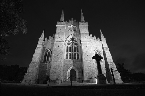
Pictures
Related Locations
Information of geographic nature is based on public data provided by geonames.org, CIA world facts book, Unesco, DBpedia and wikipedia. Weather is based on NOAA GFS.