-
You are here:
- Homepage »
- United Kingdom »
- Scotland » Kyle of Lochalsh

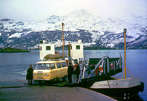
Kyle of Lochalsh Destination Guide
Discover Kyle of Lochalsh in United Kingdom
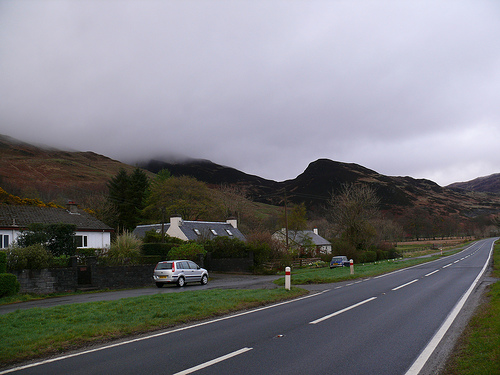
Kyle of Lochalsh in the region of Scotland with its 734 habitants is a town located in United Kingdom - some 458 mi or ( 736 km ) North-West of London , the country's capital .
Local time in Kyle of Lochalsh is now 03:55 PM (Thursday) . The local timezone is named " Europe/London " with a UTC offset of 0 hours. Depending on your flexibility, these larger cities might be interesting for you: Toscaig, Stromeferry, Stornoway, Stirling, and Manchester. When in this area, you might want to check out Toscaig . We found some clip posted online . Scroll down to see the most favourite one or select the video collection in the navigation. Are you looking for some initial hints on what might be interesting in Kyle of Lochalsh ? We have collected some references on our attractions page.
Videos
A87 drive, Skye Bridge, Scotland 2003
Drive tour in Scotland, 2003. 車でスコットランドを旅行した時の、オンボード映像です。 A87, Eilean Donan Castle ~ Kyle of Lochalsh ~ Skye Bridge, Scotland ..
The Isle of Skye & Loch Alsh
Holiday October 2007 ..
Kyle of Lochalsh.
Kyle of Lochalsh. 1st May 2011 ..
Kyle of Lochalsh. ( Part 2 ).
Kyle of Lochalsh. ( Part 2 ). 1st May 2011 ..
Videos provided by Youtube are under the copyright of their owners.
Interesting facts about this location
Caisteal Maol
Caisteal Maol is a ruined castle located near the harbour of the village of Kyleakin, Isle of Skye, Scotland. It is also known as Castle Moil, Castle Moal, Dun Akyn, Dunakin Castle Dun Haakon and Castle Dunakin.
Located at 57.27 -5.72 (Lat./Long.); Less than 1 km away
Eilean Bàn, Lochalsh
Eilean Bàn (Scottish Gaelic meaning White Island) is a six acre island off the coast of mainland Scotland, between Kyle of Lochalsh and the Isle of Skye, in Highland. The island supports a column of the Skye Bridge, which crosses the mouth of Loch Alsh from the mainland to Skye. Eilean Bàn is owned by the Scottish Ministers, but since 1998 has been managed by the Eilean Ban Trust as a wildlife sanctuary.
Located at 57.28 -5.74 (Lat./Long.); Less than 2 km away
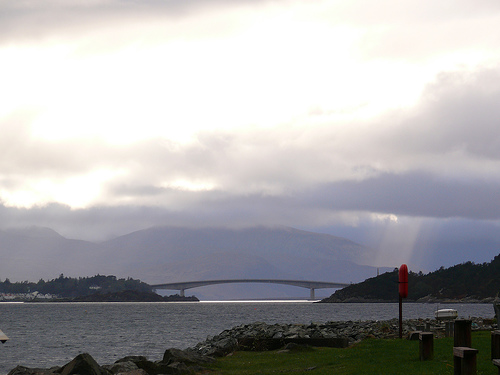
Skye Bridge
The Skye Bridge is a road bridge over Loch Alsh, connecting mainland Highland with the Isle of Skye, Scotland. It forms part of the A87. One pillar of the bridge stands on the island of Eilean Bàn. Traditionally, the most common route from the mainland to Skye was the shortest crossing, (around 500 metres), the sound between the villages of Kyle of Lochalsh on the mainland and Kyleakin on the island's east coast.
Located at 57.28 -5.74 (Lat./Long.); Less than 2 km away
HMS Port Napier
HMS Port Napier (M32) was a minelayer of the British Royal Navy during World War II, which was destroyed on on 27 November 1940 in Loch Alsh, Scotland, by an explosion following an engine room fire.
Located at 57.27 -5.69 (Lat./Long.); Less than 2 km away
Loch Alsh
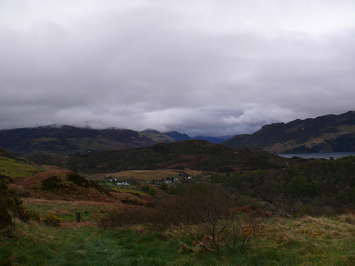
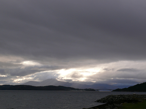
Loch Alsh or Lochalsh (from the Scottish Gaelic Loch Aillse, "foaming lake") is a sea inlet between the isle of Skye in the Inner Hebrides and the Northwest Highlands of Scotland. The name is also used to described the surrounding country and the feudal holdings around the loch. The area is rich in history, and is increasingly popular with tourists. The hilly country around Loch Alsh has a temperate, well-watered climate. There is some pasture and woodland, but much of the area is moorland.
Located at 57.27 -5.66 (Lat./Long.); Less than 3 km away
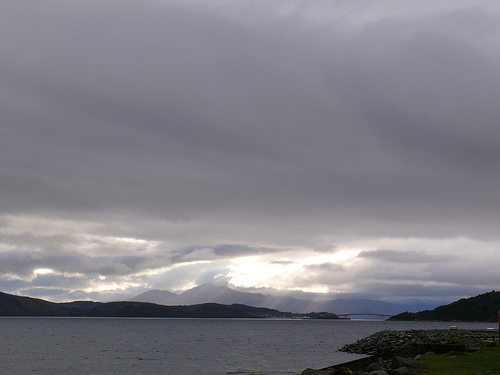
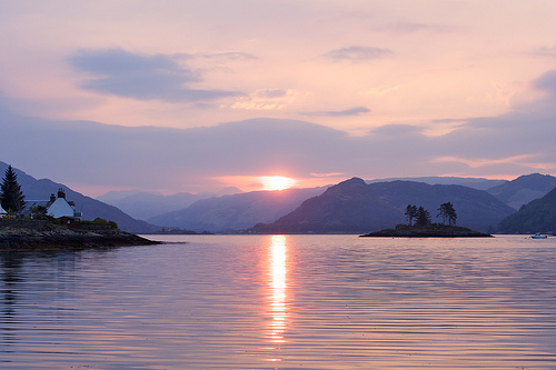
Pictures
Related Locations
Information of geographic nature is based on public data provided by geonames.org, CIA world facts book, Unesco, DBpedia and wikipedia. Weather is based on NOAA GFS.