-
You are here:
- Homepage »
- United States »
- Arizona » Sierra Vista Southeast

Sierra Vista Southeast Destination Guide
Explore Sierra Vista Southeast in United States
Sierra Vista Southeast in the region of Arizona with its 14,797 inhabitants is a town in United States - some 1,931 mi or ( 3108 km ) West of Washington , the country's capital city .
Current time in Sierra Vista Southeast is now 09:37 PM (Wednesday) . The local timezone is named " America/Phoenix " with a UTC offset of -7 hours. Depending on the availability of means of transportation, these more prominent locations might be interesting for you: Los Corrales, Palomitas, Hermosillo, Bisbee, and Bledsoe. Since you are here already, make sure to check out Los Corrales . We encountered some video on the web . Scroll down to see the most favourite one or select the video collection in the navigation. Where to go and what to see in Sierra Vista Southeast ? We have collected some references on our attractions page.
Videos
Sierra Vista Arizona Huachuca Mountains
Huachuca Mountains in Sierra Vista, Arizona near Ft Huachuca. Sky Island. Also check out my other videos with more Arizona mountains! www.youtube.com www.youtube.com www.youtube.com www.youtube.com ..
Sleepy Owlet: Mexican Spotted Owl
A Mexican Spotted Owl fledgling drowses in an oak tree in Miller Canyon, in the Huachuca Mountains of southeastern Arizona. The lush streamside habitats of Miller Canyon and the wildlife they support ..
This Trouble G-Lago
It's an old blues style with a common problem that everyone can relate to ..
Uplands Monitoring at Coronado National Memorial, 2009
Learn about uplands monitoring conducted at Coronado National Memorial during the 2009 field season. Included are a list of vital signs monitored, highlights of preliminary results, and a description ..
Videos provided by Youtube are under the copyright of their owners.
Interesting facts about this location
Junk Bond Observatory
The Junk Bond Observatory is located in Sierra Vista, Arizona in the Sonoran Desert. Established in his backyard in 1996, observer David Healy began by using a Celestron 14 SCT and a 16-inch Meade LX200 telescopes in a roll-off shelter. In 2000, a 20" Ritchey-Chretien was installed, to be replaced by a 32" Ritchey in 2004. Asteroid searches began in 1998 using a local computer network and search software.
Located at 31.48 -110.20 (Lat./Long.); Less than 3 km away
Sierra Vista Southeast, Arizona
Sierra Vista Southeast is a census-designated place (CDP) in Cochise County, Arizona, United States. The population was 14,348 at the 2000 census.
Located at 31.49 -110.23 (Lat./Long.); Less than 4 km away
Hereford Army Airfield
Hereford Army Airfield is an abandoned military airfield located about 2 miles west-southwest of Hereford, Arizona.
Located at 31.42 -110.14 (Lat./Long.); Less than 8 km away
Carr Peak
At 9,236 ft. (2815 m), Carr Peak is the third-highest mountain in Cochise County, Arizona and is located in the Huachuca Mountains. Located approximately 10 miles south of Sierra Vista, Arizona, it is the second-highest mountain in the Huachuca mountain range and a popular local hiking destination.
Located at 31.42 -110.30 (Lat./Long.); Less than 9 km away
Hereford, Arizona
Hereford is an unincorporated community in Cochise County along the San Pedro Riparian National Conservation Area in the southern part of the U.S. state of Arizona. It is south of Sierra Vista and is a part of the Sierra Vista-Douglas micropolitan area.
Located at 31.44 -110.10 (Lat./Long.); Less than 11 km away
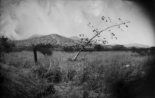
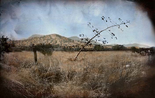
Pictures


Related Locations
Information of geographic nature is based on public data provided by geonames.org, CIA world facts book, Unesco, DBpedia and wikipedia. Weather is based on NOAA GFS.