-
You are here:
- Homepage »
- United States »
- California » Day Valley

Day Valley Destination Guide
Touring Day Valley in United States
Day Valley in the region of California with its 3,409 citizens is a city located in United States - some 2,420 mi or ( 3895 km ) West of Washington , the country's capital city .
Time in Day Valley is now 04:17 AM (Sunday) . The local timezone is named " America/Los Angeles " with a UTC offset of -7 hours. Depending on your travel resources, these more prominent places might be interesting for you: Aptos, Capitola, Corralitos, Day Valley, and Freedom. Being here already, consider visiting Aptos . We collected some hobby film on the internet . Scroll down to see the most favourite one or select the video collection in the navigation. Check out our recommendations for Day Valley ? We have collected some references on our attractions page.
Videos
man outruns tsunami
keep an eye on the ship to watch the ocean drop. stand (for your dear life) number 861 ..
EASTER SWIM 2008
KIDS SWIMMING IN SPA ON EASTER ..
Rio Del Mar Timelapse 2K footage downsized to 1920x1080/60i
Rio Del Mar timelapse of moon rise. There were 479 frames at 2256 x 1504. Each frame was 1.25Mb of HQ jpg. ..
Trail at Nisene Marks SP in Aptos, CA
Our favorite local hike. The location also of the epicenter of the Loma-Prieta earthquake. The landscape has yet to recover from the 'quake. We ate lunch there and saw maybe 3 people all day. ..
Videos provided by Youtube are under the copyright of their owners.
Interesting facts about this location
1989 Loma Prieta earthquake
The Loma Prieta earthquake, also known as the Quake of '89 and the World Series Earthquake, was a major earthquake that struck the San Francisco Bay Area of California on October 17, 1989, at 5:04 pm local time. Caused by a slip along the San Andreas Fault, the quake lasted 10–15 seconds and measured 6.9 on both the moment magnitude scale (surface-wave magnitude 7.1) and on the open-ended Richter Scale.
Located at 37.04 -121.88 (Lat./Long.); Less than 1 km away
The Forest of Nisene Marks State Park
The Forest of Nisene Marks State Park is a state park of California, USA, protecting a tract of secondary forest in the Santa Cruz Mountains. It is located outside Aptos, California and contains over 40 miles of hiking trails and fire roads through 10,223 acres of variable terrain. The park was named for Nisene Marks, a passionate nature lover and the mother of a Salinas farming family that purchased the land from lumber companies (and others) in the hopes of finding oil.
Located at 37.04 -121.89 (Lat./Long.); Less than 2 km away
Day Valley, California
Day Valley is a census-designated place (CDP) in Santa Cruz County, California, United States. The population was 3,409 at the 2010 census.
Located at 37.01 -121.86 (Lat./Long.); Less than 3 km away
Aptos High School
Aptos High School is a comprehensive secondary school in Aptos, California, USA in the Pajaro Valley Unified School District. Aptos High serves the communities of Rio Del Mar, Corralitos, Seacliff, Seascape, La Selva Beach, Buena Vista and Watsonville. Historically, Aptos has been one of the largest high schools in the county, but recently other district schools Watsonville High School and Pajaro Valley High School have surpassed its enrollment.
Located at 36.98 -121.86 (Lat./Long.); Less than 7 km away
Aptos, California
Aptos is a census-designated place (CDP) in Santa Cruz County, California, United States. The population was 6,220 at the 2010 census. Aptos is an unincorporated area of Santa Cruz county, consisting of several small communities. The combined population of the CDPs generally considered as parts of Aptos is around 25,000: Aptos Village, the main business and commerce center on the northwest side of Hwy 1, between State Park Drive and Rio Del Mar Blvd.
Located at 36.98 -121.91 (Lat./Long.); Less than 7 km away
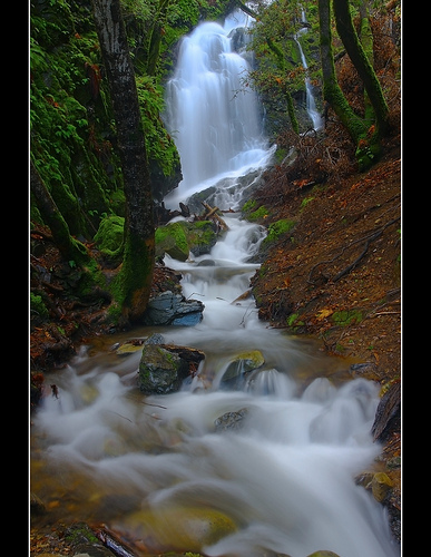
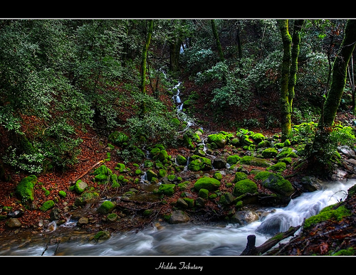
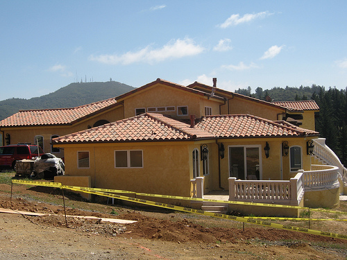
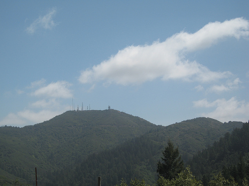
Pictures

Related Locations
Information of geographic nature is based on public data provided by geonames.org, CIA world facts book, Unesco, DBpedia and wikipedia. Weather is based on NOAA GFS.