-
You are here:
- Homepage »
- United States »
- California » Sutter Creek

Sutter Creek Destination Guide
Discover Sutter Creek in United States
Sutter Creek in the region of California with its 2,501 habitants is a town located in United States - some 2,339 mi or ( 3764 km ) West of Washington , the country's capital .
Local time in Sutter Creek is now 06:24 PM (Saturday) . The local timezone is named " America/Los Angeles " with a UTC offset of -7 hours. Depending on your flexibility, these larger cities might be interesting for you: Bakersfield, Big Bar, Bunker Hill, Clinton, and Fiddletown. When in this area, you might want to check out Bakersfield . We found some clip posted online . Scroll down to see the most favourite one or select the video collection in the navigation. Are you looking for some initial hints on what might be interesting in Sutter Creek ? We have collected some references on our attractions page.
Videos
California Vineyard For Sale - Vineyard, Home, and Land For Sale - Jackson, CA - VineSmart
For more info - www.vinesmart.com An artist's home, full of light, lofty redwood ceilings, oak floors, melded into an extraordinary contemporary home. Sitting on a knoll overlooking acres of its own v ..
Ione Railfair 2009 Speeders Ionerailfair.org
May 23 2009, Speeders crossing the Highway 88 Grade Crossing just South of Jackson/Martell Calif. About 36 Speeders participated in the 4th Annual Ione Railfair event sponsored by the Recreational Rai ..
The Taste Of Amador
Scott Harvey's Tasting Room in Sutter Creek, California is one of the top places to taste Amador County and Napa Valley wines. Come taste wine from the oldest Zinfandel vineyard in America. His medal ..
Amador County Fair 2008
A trip to the Amador County Fair in late July 2008 with some great friends. ..
Videos provided by Youtube are under the copyright of their owners.
Interesting facts about this location
Gold Country
Gold Country is a region in the central and northeastern part of California. It is famed for the mineral deposits and gold mines that attracted waves of immigrants, known as the 49ers, during the 1849 California Gold Rush.
Located at 38.40 -120.80 (Lat./Long.); Less than 1 km away
Amador High School
Amador High School is located in Sutter Creek, CA and is one of 2 high schools in Amador County. It is a public school that serves about 800 students in grades 9-12. Originally known as "Amador County High School" at its inception in 1911, the school's name changed to "Sutter Creek Union High School" in 1916, reverting to "Amador County High School" in 1949, at the request of that year's graduating class.
Located at 38.40 -120.81 (Lat./Long.); Less than 1 km away
Sutter Hill, California
Sutter Hill is an unincorporated community in Amador County, California. It is located 7.25 miles south-southeast of Plymouth, at an elevation of 1562 feet (476 m).
Located at 38.38 -120.80 (Lat./Long.); Less than 2 km away
Amador County Airport
Amador County Airport, also known as Westover Field, is a county-owned public-use airport in Amador County, California, United States. It is located two nautical miles (3.7 km) northwest of the central business district of Jackson, California. The airport is mostly used for general aviation. Although many U.S. airports use the same three-letter location identifier for the FAA and IATA, this facility is assigned JAQ by the FAA but has no designation from the IATA.
Located at 38.38 -120.79 (Lat./Long.); Less than 2 km away
Amador City, California
Amador City (formerly, Amadore's Creek and South Amador) is a city in Amador County, California, United States. The population was 185 at the 2010 census, down from 196 at the 2000 census.
Located at 38.42 -120.82 (Lat./Long.); Less than 3 km away
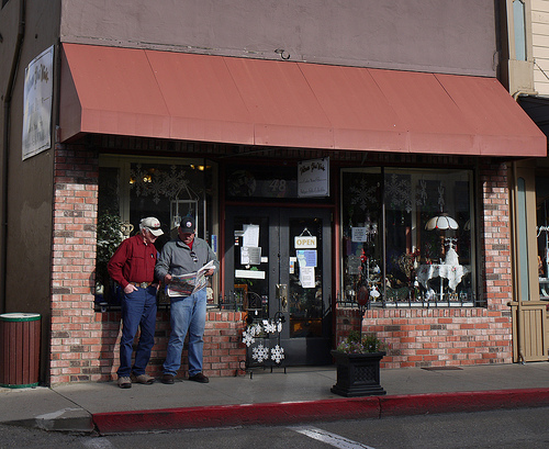
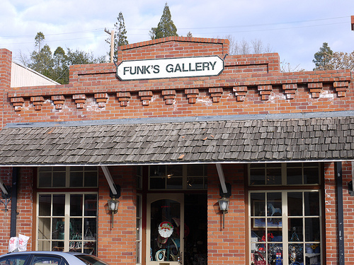
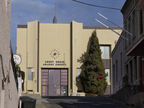
Pictures


Related Locations
Information of geographic nature is based on public data provided by geonames.org, CIA world facts book, Unesco, DBpedia and wikipedia. Weather is based on NOAA GFS.