-
You are here:
- Homepage »
- United States »
- Massachusetts » Chatham

Chatham Destination Guide
Delve into Chatham in United States
Chatham in the region of Massachusetts with its 1,421 residents is a city in United States - some 420 mi or ( 675 km ) North-East of Washington , the country's capital .
Current time in Chatham is now 09:53 PM (Thursday) . The local timezone is named " America/New York " with a UTC offset of -4 hours. Depending on your travel modalities, these larger destinations might be interesting for you: Hartford, Barnstable, Boston, Brewster, and Dedham. While being here, make sure to check out Hartford . We encountered some video on the web . Scroll down to see the most favourite one or select the video collection in the navigation. Are you curious about the possible sightseeing spots and facts in Chatham ? We have collected some references on our attractions page.
Videos
hole on the beach
a giant hole I dug on the beach in Chatham, Massachusetts (using only my hands, of course), gets destroyed by the incoming tide ..
Hurricane Sandy at Chatham, Cape Cod
Videography by Christopher Seufert htt://www.MooncusserFilms.com ..
JVC GZ-E200BU Time-lapse function test
I tested the time-lapse function of my JVC GZ-E200BU camcorder. Highest quality setting, was shot at a Cape Cod beach at a rate of 1 picture per 20 seconds over the course of 60 to 90 minutes. ..
Shore Road Chatham MA
Beautiful day in Chatham MA. Video driving along Shore Road. Brough to you by Schooner Properties, Chatham MA Real Estate Brokers. ..
Videos provided by Youtube are under the copyright of their owners.
Interesting facts about this location
Chatham (CDP), Massachusetts
Chatham is a census-designated place (CDP) in the town of Chatham in Barnstable County, Massachusetts, United States. The population was 1,667 at the 2000 census.
Located at 41.68 -69.96 (Lat./Long.); Less than 0 km away
Veteran's Field
Veterans Field is the home field of the Chatham Anglers baseball team. It is located on Depot Road in Chatham, Massachusetts, USA, on Cape Cod.
Located at 41.68 -69.96 (Lat./Long.); Less than 0 km away
Coast Guard Station Chatham
United States Coast Guard Station Chatham is a United States Coast Guard station located in Chatham, Massachusetts. The station was the origin of the famous 1952 Pendleton rescue.
Located at 41.67 -69.95 (Lat./Long.); Less than 1 km away
Chatham High School (Massachusetts)
Chatham High School is a public high school located in Chatham, Massachusetts. Chatham serves roughly 700 students in grades 9-12. Chatham's mascot is the Blue Devils and the school's colors are Royal Blue and White. However Chatham will merge with Harwich, Massachusetts and become a regional school district.
Located at 41.69 -69.97 (Lat./Long.); Less than 2 km away
Slut's Bush
Slut's Bush is an island, no longer existent, off the coast of Chatham, Massachusetts. Once a rocky, swampy island covered with low shrubs, berry bushes, and vines, it appeared on 17th century maps of Cape Cod. as well as 18th century deeds of the area. It may been a small portion of a larger island referred to as 'Ile Nawset' or Nauset Island. By 1864 it was described as under deep water, although stumps and roots could still be seen from a boat on a calm day.
Located at 41.69 -69.94 (Lat./Long.); Less than 2 km away
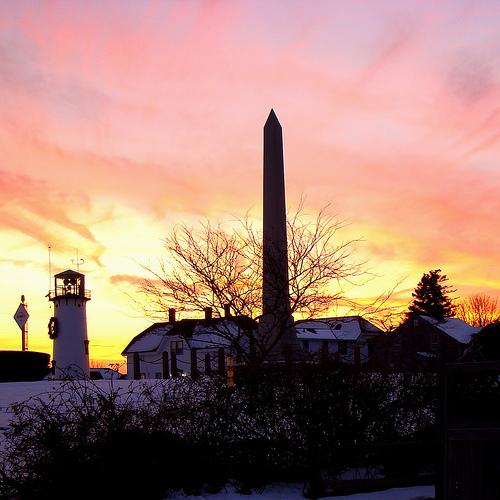
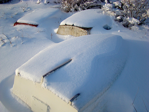
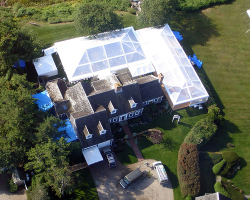
Pictures
Related Locations
Information of geographic nature is based on public data provided by geonames.org, CIA world facts book, Unesco, DBpedia and wikipedia. Weather is based on NOAA GFS.