-
You are here:
- Homepage »
- United States »
- Massachusetts » Marblehead

Marblehead Destination Guide
Explore Marblehead in United States
Marblehead in the region of Massachusetts with its 19,808 inhabitants is a place in United States - some 408 mi or ( 657 km ) North-East of Washington , the country's capital city .
Time in Marblehead is now 06:14 AM (Friday) . The local timezone is named " America/New York " with a UTC offset of -4 hours. Depending on your budget, these more prominent locations might be interesting for you: Revere, Hartford, Barnstable, Beach Bluff, and Boston. Since you are here already, consider visiting Revere . We saw some hobby film on the internet . Scroll down to see the most favourite one or select the video collection in the navigation. Where to go and what to see in Marblehead ? We have collected some references on our attractions page.
Videos
IOD Sailing in Marblehead Harbor
Marblehead Harbor ..
Marblehead Massachusetts (MA) Real Estate Tour
www.marbleheadmarealestate.com -- Tour Marblehead, MA neighborhoods, condominium developments, subdivisions, schools, landmarks, recreational areas, and town offices. Marblehead, Massachusetts is a pi ..
Hotels Salem MA
Hotels Salem MA www.HarborLightInn.com The Harbor Light Inn, hotels salem ma, is the winner of numerous national awards for excellence, including Vacation Magazine's "America's Best Romantic Inns". Th ..
Marblehead Memory Maker
cottage for rent Marblehead Ma ..
Videos provided by Youtube are under the copyright of their owners.
Interesting facts about this location
Marblehead, Massachusetts
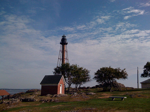
Marblehead is a coastal town along the Atlantic Ocean, in Essex County, Massachusetts, United States. The population was 19,808 at the 2010 census. It is home to the Marblehead Neck Wildlife Sanctuary and Devereux Beach. A town with roots in both commercial fishing and yachting, Marblehead is the birthplace of the American Navy, Marine Corps Aviation, and a yachting capital of the United States.
Located at 42.50 -70.86 (Lat./Long.); Less than 1 km away
Herreshoff Castle
Herreshoff Castle, formerly known as Castle Brattahlid, is an unusual residence located at 2 Crocker Park, Marblehead, Massachusetts. As of 2006 it was a private residence offering bed-and-breakfast rentals.
Located at 42.50 -70.85 (Lat./Long.); Less than 1 km away
Glover School
Glover School is a public elementary school on Maple Street in Marblehead, Massachusetts, USA. It educates around 250 students in grades K-3. The school consists of two buildings situated on a hilly 4.78-acre site.
Located at 42.49 -70.88 (Lat./Long.); Less than 2 km away
Clifton, Massachusetts
Clifton is an unincorporated village within the towns of Swampscott and Marblehead in Essex County, Massachusetts, United States. It includes Clifton Avenue. The area was named by Benjamin Ware, a locally disliked hotelier who developed Clifton with the intention of creating a resort area. His hotel, "Clifton House", was regaled as one of the finest lodgings in the county.
Located at 42.48 -70.88 (Lat./Long.); Less than 3 km away
Salem Harbor
Salem Harbor is a harbor in northeastern Massachusetts spanning an area north and south of Salem. Historically the Salem Harbor was the site of one of the major international ports in the colonies. During the American Revolutionary War, merchant ships were enlisted as privateers, an important role to augment the ill-prepared Continental Navy. Now the harbor is used for commercial and recreational purposes.
Located at 42.52 -70.87 (Lat./Long.); Less than 3 km away
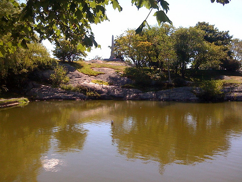
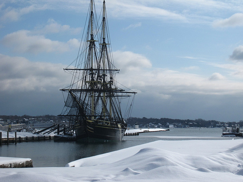
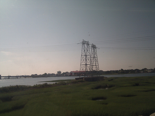
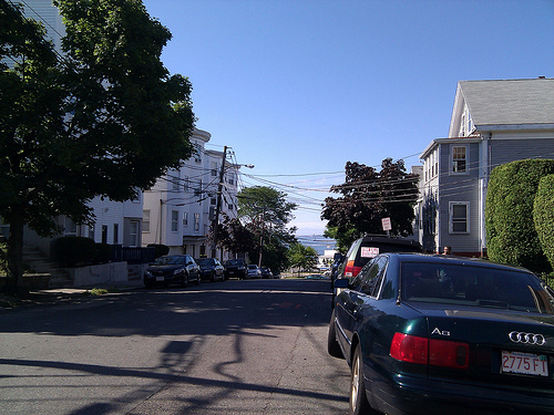
Pictures
Related Locations
Information of geographic nature is based on public data provided by geonames.org, CIA world facts book, Unesco, DBpedia and wikipedia. Weather is based on NOAA GFS.