-
You are here:
- Homepage »
- United States »
- Missouri » Kimberling City

Kimberling City Destination Guide
Discover Kimberling City in United States
Kimberling City in the region of Missouri with its 2,400 habitants is a town located in United States - some 907 mi or ( 1460 km ) West of Washington , the country's capital .
Local time in Kimberling City is now 02:52 AM (Tuesday) . The local timezone is named " America/Chicago " with a UTC offset of -5 hours. Depending on your flexibility, these larger cities might be interesting for you: Bentonville, Blue Eye, Fayetteville, Harrison, and Mountain Home. When in this area, you might want to check out Bentonville . We found some clip posted online . Scroll down to see the most favourite one or select the video collection in the navigation. Are you looking for some initial hints on what might be interesting in Kimberling City ? We have collected some references on our attractions page.
Videos
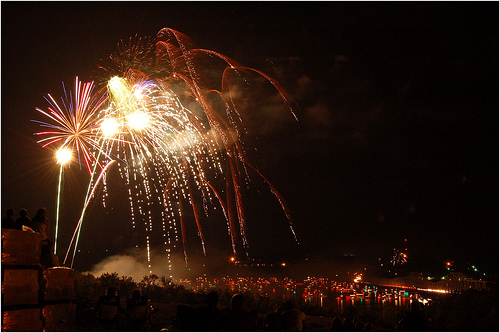
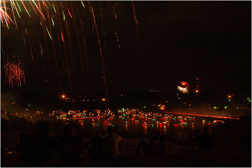
Kimberling City Tornado
February 29th, 2012 Tornado Damage The first part of the video was taken behind the Kimberling Inn/Ahoy's area. The second half around Port of Kimberling Marina. Soundtrack by In Memory of Man. Crews ..
Blue and Gold Banquet Webelos Cub Scout Crossover Arrow of Light
Hard working Cub Scouts cross over with Arrow of Light to Boy Scouts in Kimberling City, Missouri at the annual Blue and Gold Banquet. ..
Piper Arrow Short Field loaded
Short field take off Kimberling City Mo ..
Webelos Blue & Gold Banquet Den 7 Feb. 17, 2009
Cub Scout Webelos get their patch and honors at the Blue & Gold Banquet in Kimberling City, MO on Feb. 17, 2009 ..
Videos provided by Youtube are under the copyright of their owners.
Interesting facts about this location
Kimberling City, Missouri
Kimberling City is a city in Stone County, Missouri, United States. The population was 2,400 at the 2010 census. It is part of the Branson, Missouri Micropolitan Statistical Area.
Located at 36.64 -93.42 (Lat./Long.); Less than 1 km away
Coney Island, Missouri
Coney Island is a village in Stone County, Missouri, United States. The population was 75 at the 2010 census. It is part of the Branson, Missouri Micropolitan Statistical Area.
Located at 36.59 -93.40 (Lat./Long.); Less than 5 km away
Talking Rocks Cavern
Talking Rocks Cavern (originally called Fairy Cave) is a cavern system located in Stone County, just west of Branson in the U.S. state of Missouri. It is privately operated by Herschend Family Entertainment as a tourist attraction. Guided cave tours are offered at regular intervals. The visitors are led down a series of platforms and steps eventually to the floor of the cave. There are 265 steps, 150 down and 115 out. Features include 'curtain' and the 'bacon' formations.
Located at 36.68 -93.38 (Lat./Long.); Less than 6 km away
Indian Point, Missouri
Indian Point is a village in Stone County, Missouri, United States. The population was 528 at the 2010 census. It is part of the Branson, Missouri Micropolitan Statistical Area.
Located at 36.64 -93.35 (Lat./Long.); Less than 6 km away
Branson West Airport
Branson West Airport, also known as Branson West Municipal Airport, is a city-owned, public-use airport located two nautical miles (3.7 km) west of the central business district of the City of Branson West, in Stone County, Missouri, United States. The airport is also known as Emerson Field, named for Robert Emerson, an aviator who relinquished the air rights of his nearby airfield so the Branson West airport could operate safely and obtain a federal grant.
Located at 36.70 -93.40 (Lat./Long.); Less than 7 km away
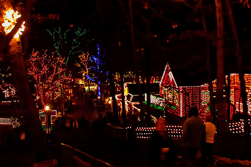
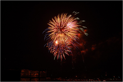
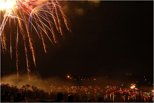
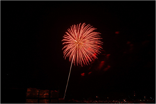
Pictures
Related Locations
Information of geographic nature is based on public data provided by geonames.org, CIA world facts book, Unesco, DBpedia and wikipedia. Weather is based on NOAA GFS.