-
You are here:
- Homepage »
- United States »
- New Hampshire » Raymond

Raymond Destination Guide
Explore Raymond in United States
Raymond in the region of New Hampshire with its 2,855 inhabitants is a town in United States - some 418 mi or ( 673 km ) North-East of Washington , the country's capital city .
Current time in Raymond is now 07:25 AM (Tuesday) . The local timezone is named " America/New York " with a UTC offset of -4 hours. Depending on the availability of means of transportation, these more prominent locations might be interesting for you: Philadelphia, Hartford, Boston, Dedham, and Portland. Since you are here already, make sure to check out Philadelphia . We saw some video on the web . Scroll down to see the most favourite one or select the video collection in the navigation. Where to go and what to see in Raymond ? We have collected some references on our attractions page.
Videos
Haunted Acres - Candia, New Hampshire
Haunted Acres is the home of Area 52, a top-secret government medical facility that has recently been rediscovered. Its deranged lunatics are now roaming free ... and anxious to meet you (or eat you!) ..
Travel Trailer
2008 Keystone RV Mountaineer Series M-30 FKD $29995 Model: M-30 FKD Length / Width: 35 x 8 Axles: 2 Weight: 7235 For Sale: This camper is only 2 years old, and is in great shape and looks immaculate. ..
Camping at Pawtuckaway State Park
Camping and hiking at New Hampshire's Pawtuckaway State Park. ..
Skies + Scapes of New Hampshire
A 4-minute slide show of sunsets, skies and other landscape images I photographed in New Hampshire, many of them in the White Mountains. The opening image was taken through a Southwest Airlines 737 wi ..
Videos provided by Youtube are under the copyright of their owners.
Interesting facts about this location
Raymond High School (New Hampshire)
Raymond High School is a public high school in the state of New Hampshire. Located in the town of Raymond, over 400 students attend. Its mascot is the ram, and the school colors are green and white.
Located at 43.05 -71.18 (Lat./Long.); Less than 2 km away
Camp Onway
Camp Onway (Zion's Camp) is located in Raymond, New Hampshire, Rockingham County on the shores of Onway Lake. Through most of its history the camp was owned by local Boy Scout councils, but since 2007 it has been owned by The Church of Jesus Christ of Latter-day Saints (LDS Church).
Located at 43.04 -71.21 (Lat./Long.); Less than 2 km away
North Branch River
The North Branch River is an 8.2 mile long (13.1 km) river in southeastern New Hampshire in the United States. It is a tributary of the Lamprey River, part of the Great Bay and Piscataqua River watershed leading to the Atlantic Ocean. The river begins in Bear Brook State Park, in Deerfield, New Hampshire, at the outlet to Beaver Pond. Flowing southeast, it quickly leaves the park, then enters the town of Candia.
Located at 43.06 -71.23 (Lat./Long.); Less than 4 km away
Pawtuckaway River
The Pawtuckaway River is a 3.6 mile long (5.7 km) river in southeastern New Hampshire in the United States. It is a tributary of the Lamprey River, part of the Great Bay and Piscataqua River watershed leading to the Atlantic Ocean. The river forms the south outlet of Pawtuckaway Lake, a 900-acre lake in the town of Nottingham, New Hampshire.
Located at 43.04 -71.13 (Lat./Long.); Less than 5 km away
East Candia, New Hampshire
East Candia is an unincorporated village in the town of Candia in Rockingham County, New Hampshire. The village, as the name suggests, is located in the eastern part of the town of Candia, close to the town border with Raymond. The community is centered upon the intersection of Langford Road and Depot Road, approximately 0.5 miles south of Langford Road's intersection with New Hampshire Route 27. East Candia has a separate ZIP code (03040) from the rest of the town of Candia.
Located at 43.05 -71.25 (Lat./Long.); Less than 6 km away
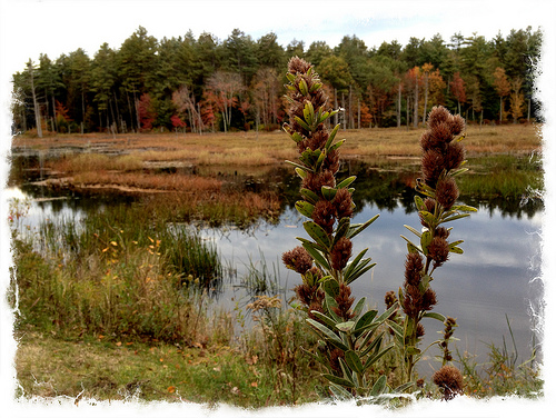
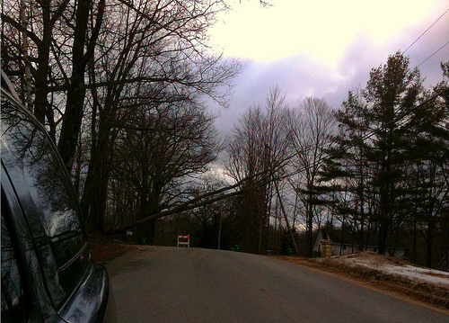
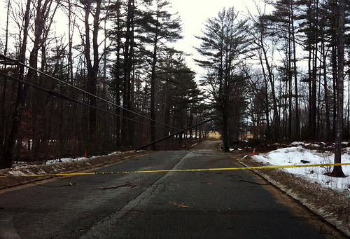
Pictures
Related Locations
Information of geographic nature is based on public data provided by geonames.org, CIA world facts book, Unesco, DBpedia and wikipedia. Weather is based on NOAA GFS.