-
You are here:
- Homepage »
- United States »
- New Hampshire » Wentworth

Wentworth Destination Guide
Discover Wentworth in United States
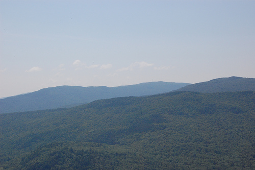
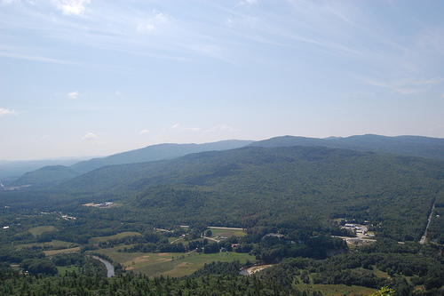
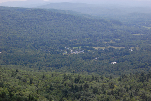
Wentworth in the region of New Hampshire with its 850 habitants is a place located in United States - some 434 mi or ( 699 km ) North-East of Washington , the country's capital .
Local time in Wentworth is now 08:38 PM (Tuesday) . The local timezone is named " America/New York " with a UTC offset of -4 hours. Depending on your mobility, these larger cities might be interesting for you: Philadelphia, Hartford, Boston, Breezy Point, and Bucks Corner. When in this area, you might want to check out Philadelphia . We discovered some clip posted online . Scroll down to see the most favourite one or select the video collection in the navigation. Are you looking for some initial hints on what might be interesting in Wentworth ? We have collected some references on our attractions page.
Videos
Irene causes flooding in Wentworth NH
After getting pounded by Irene the Baker river located in Wentworth New Hampshire crested it's banks causing damage in many locations. This shot was taken on Rt 25 just past Turner Rd. There are multi ..
Hilltop Acres B&B, Wentworth, NH
Visit Hilltop Acres Bed & Breakfast in scenic Wentworth, NH ..
Carr Mountain 12of12 Wentowrth,NH (3453 ft)
video 12 ..
Carr Mountain 1of12 Wentowrth,NH(3453 ft)
video1 ..
Videos provided by Youtube are under the copyright of their owners.
Interesting facts about this location
South Branch Baker River
The South Branch of the Baker River is a 15.6-mile-long river located in western New Hampshire in the United States. It is a tributary of the Baker River, part of the Pemigewasset River and Merrimack River watersheds. The river rises in the town of Orange, New Hampshire, on high ground north of Mount Cardigan. It flows north through the town of Dorchester, enters Wentworth, and drops rapidly to the Baker River.
Located at 43.84 -71.89 (Lat./Long.); Less than 4 km away
Plummer's Ledge Natural Area
Plummer's Ledge Natural Area in Wentworth, New Hampshire is a 3.5-acre plot of land protected by the State of New Hampshire to preserve unique geologic features called glacial potholes. Geologists usually account for the isolated potholes, now high and dry, by the plunging of melt water through vertical cracks or crevasses in the glacial ice. These cracks, called moulins, caused water, boulders, cobbles, and gravel to churn with intense cutting power, drilling into the slope of a granite ledge.
Located at 43.83 -71.88 (Lat./Long.); Less than 5 km away
Stinson Lake, New Hampshire
Stinson Lake is a village in the town of Rumney in Grafton County, New Hampshire, United States. It is located at the south end of Stinson Lake, around the lake's outlet. The village is 4 miles north of the village of Rumney, via Stinson Lake Road. Stinson Lake has a separate ZIP code (03274) from the rest of Rumney.
Located at 43.86 -71.81 (Lat./Long.); Less than 9 km away
Grafton County, New Hampshire
Grafton County is a county located in the U.S. state of New Hampshire. As of the 2010 census, the population was 89,118. Its county seat is North Haverhill, which is a village within the town of Haverhill. Until 1972, the county courthouse and other offices were located in downtown Woodsville, a larger village within the town of Haverhill. Grafton County is part of the Lebanon, NH–VT Micropolitan Statistical Area. The county is the home of Dartmouth College and Plymouth State University.
Located at 43.93 -71.84 (Lat./Long.); Less than 9 km away
Stinson Lake
Stinson Lake is a 350-acre water body located in the town of Rumney in Grafton County, New Hampshire, United States. The lake is in the southern part of the White Mountains and is the largest lake in the White Mountain National Forest. Water from Stinson Lake flows via Stinson Brook, the Baker River, and the Pemigewasset River to the Merrimack River. The lake is a result of glacier deposits. It has a maximum depth of around 80 feet, with a few shallow banks around the southern rim.
Located at 43.87 -71.80 (Lat./Long.); Less than 9 km away
Pictures
Related Locations
Information of geographic nature is based on public data provided by geonames.org, CIA world facts book, Unesco, DBpedia and wikipedia. Weather is based on NOAA GFS.