-
You are here:
- Homepage »
- United States »
- Oregon » Beaverton

Beaverton Destination Guide
Explore Beaverton in United States
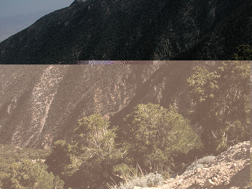
Beaverton in the region of Oregon with its 89,803 inhabitants is a town in United States - some 2,354 mi or ( 3788 km ) West of Washington , the country's capital city .
Current time in Beaverton is now 01:03 AM (Monday) . The local timezone is named " America/Los Angeles " with a UTC offset of -7 hours. Depending on the availability of means of transportation, these more prominent locations might be interesting for you: Albany, Bradley Corner, Corvallis, Dallas, and Eugene. Since you are here already, make sure to check out Albany . We saw some video on the web . Scroll down to see the most favourite one or select the video collection in the navigation. Where to go and what to see in Beaverton ? We have collected some references on our attractions page.
Videos
Model Railroad Crashes
These are several examples of what happens when things go wrong on our layout. Results may vary. The BN railvan is a Bachmann, and it has a decoder in it as well as headlights, tail lights, and the or ..
UP 844 Model Train, Part 2
Part 2 of several runbys of the 844. UP 844 and 840 doubleheader along with a Big Boy and Challenger. The Big Boy and Challenger belong to a member of my model railroad club. UP 840 was sold on Ebay s ..
Esperanza Spalding - City of Roses
City of Roses performed by Esperanza Spalding Photo by Lauren Zeid /eStock Photo ..
UP 844 Model train Part 3
Part 3 of the UP 844 in HO scale runbys. Location: Aloha and Western Oregon Lines ..
Videos provided by Youtube are under the copyright of their owners.
Interesting facts about this location
Beaverton Central (MAX station)
The Beaverton Central station is a light rail station on the MAX Blue Line in Beaverton, Oregon, United States. The station, located near Beaverton's downtown area, is surrounded by a mixed-use development, The Round at Beaverton Central, the present location of the main offices of The Linux Foundation, previously the Open Source Development Labs. In March 2011, TriMet received a federal grant to pay for the installation of security cameras at the station.
Located at 45.49 -122.81 (Lat./Long.); Less than 0 km away
Beaverton Transit Center
The Beaverton Transit Center is a bus station, light rail and commuter rail station in Beaverton, Oregon, USA. It serves MAX Light Rail, being the 6th stop westbound on the Westside MAX. It serves the Blue Line, and serves as the western terminus for the Red Line. It also serves as the northern terminus of the Westside Express Service. The station is also a hub for numerous bus lines around Beaverton and is connected by walkway to an adjacent shopping center.
Located at 45.49 -122.80 (Lat./Long.); Less than 0 km away
Beaverton High School
Beaverton High School, is a public high school located in Beaverton, Oregon. Opened in 1902, it is the oldest high school in Beaverton.
Located at 45.49 -122.81 (Lat./Long.); Less than 1 km away
Millikan Way (MAX station)
The Millikan Way station is a light rail station on the MAX Blue Line in Washington County, Oregon. It is the 8th stop westbound on the Westside MAX. The station is located in the southern central part of the Tektronix Howard Vollum Campus. Other nearby business parks offer shuttle service to this station.
Located at 45.50 -122.82 (Lat./Long.); Less than 2 km away
Tektronix
Tektronix, Inc. is an American company best known for manufacturing test and measurement devices such as oscilloscopes, logic analyzers, and video and mobile test protocol equipment. In November 2007, Danaher Corporation acquired Tektronix as a subsidiary. The company received a 2007 Technology & Engineering Emmy Awards for compliance standards monitoring systems for Advanced Television Systems Committee (ATSC) standard and Digital Video Broadcasting (DVB) transport streams.
Located at 45.50 -122.82 (Lat./Long.); Less than 2 km away
Pictures

Related Locations
Information of geographic nature is based on public data provided by geonames.org, CIA world facts book, Unesco, DBpedia and wikipedia. Weather is based on NOAA GFS.