-
You are here:
- Homepage »
- Austria »
- Lower Austria » Gobelsburg

Gobelsburg Destination Guide
Explore Gobelsburg in Austria
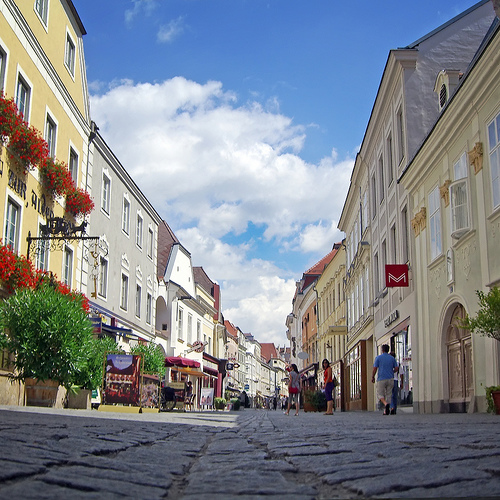
Gobelsburg in the region of Lower Austria is a town in Austria - some 35 mi or ( 57 km ) North-West of Vienna , the country's capital city .
Current time in Gobelsburg is now 10:16 AM (Tuesday) . The local timezone is named " Europe/Vienna " with a UTC offset of 1 hours. Depending on the availability of means of transportation, these more prominent locations might be interesting for you: Zeiselberg, Vienna, Traismauer, Sankt Pölten, and Paudorf. Since you are here already, make sure to check out Zeiselberg . We encountered some video on the web . Scroll down to see the most favourite one or select the video collection in the navigation. Where to go and what to see in Gobelsburg ? We have collected some references on our attractions page.
Videos
GTA Liberty City Stories Theme
GTA Liberty City Stories Theme Song: A Dark March I own nothing. Everything belongs to the rightful owners! ..
Toy - Run 2010 SCS Vösendorf nach Grafenegg
Biker für Kinder 2. Video ohne Pausen ..
Loisium, Langenlois - Austria HD
www.myvideomedia.de english see below [dt.] In Langenlois erhebt sich in den Weinbergen die futuristisch anmutende Architektur des Loisums. In der Loisium Weinwelt sollen alle menschlichen Sinne anges ..
Weintaufe Langenlois 2011 mit Christa Kummer
Am 12.November lud der Weinbauverein Langenlois, die Kittenberger Erlebnisgärten und die Ursin Haus Vinothek & Tourismusservice GmbH zur Weintaufe ein. Im neu errichteten Glas.Haus in den Kittenberger ..
Videos provided by Youtube are under the copyright of their owners.
Interesting facts about this location
Schloss Gobelsburg
Schloss Gobelsburg is a winery in the Kamptal wine growing region in Lower Austria, some 50 miles to the north west of Vienna. The esteate produces both red and white wines.
Located at 48.46 15.70 (Lat./Long.); Less than 0 km away
Grafenegg Music Festival
The Grafenegg Music Festival is a new major international Austrian festival for classical music close to Vienna. The annual festival takes place on the grounds of Grafenegg Castle. Two major venues have been built for the festival in the park of the castle: The open-air stage Wolkenturm (capacity 1,730, opened 2007) as well as the new concert hall Auditorium (capacity 1,372, opened 2008). The artistic director is pianist Rudolf Buchbinder.
Located at 48.43 15.75 (Lat./Long.); Less than 5 km away
Gneixendorf
Gneixendorf is a village near Krems in Lower Austria. It was the location of Stalag XVII-B, the setting of the Billy Wilder film Stalag 17.
Located at 48.43 15.60 (Lat./Long.); Less than 8 km away
Manhartsberg
Manhartsberg is a low, flat-lying mountain ridge in Lower Austria. It rises to a maximum height of 537 m. It is the southeastern flank of the granite Bohemian massif. The ridge runs from the Thaya river up to the Wagram mountain range and is partly overlaid with Neogene sediments, primarily clays, sands and gravels of the Vienna Basin formations. This ridge continues to the northeast into Moravia in the area near Znojmo.
Located at 48.53 15.73 (Lat./Long.); Less than 8 km away
Steiner Tor
Steiner Tor is a-preserved gate, originally built in the late 15th century but refashioned in the Baroque style in the city of Krems an der Donau, in the Wachau valley of Austria. It is considered the symbol of the city. Until the last third of the 19th century, the city of Krems was surrounded by a wall. This was systematically razed, and three gates were also removed.
Located at 48.41 15.60 (Lat./Long.); Less than 10 km away
Pictures
Historical Weather
Related Locations
Information of geographic nature is based on public data provided by geonames.org, CIA world facts book, Unesco, DBpedia and wikipedia. Weather is based on NOAA GFS.