-
You are here:
- Homepage »
- Bangladesh »
- Khulna » Sarankhola

Sarankhola Destination Guide
Touring Sarankhola in Bangladesh
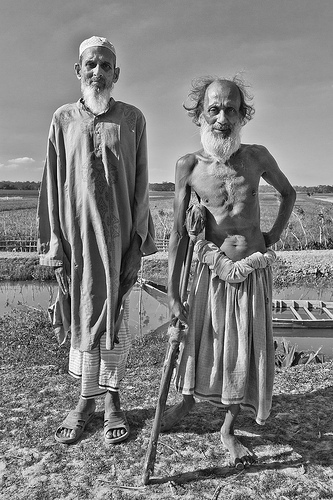
Sarankhola in the region of Khulna with its 36,470 citizens is a city located in Bangladesh - some 104 mi or ( 168 km ) South of Dhaka , the country's capital city .
Time in Sarankhola is now 07:49 PM (Saturday) . The local timezone is named " Asia/Dhaka " with a UTC offset of 6 hours. Depending on your travel resources, these more prominent places might be interesting for you: Morrelgonj, Dhaka, Uttar Jiadhara, Tushkhali, and Sapleja. Being here already, consider visiting Morrelgonj . We collected some hobby film on the internet . Scroll down to see the most favourite one or select the video collection in the navigation. Check out our recommendations for Sarankhola ? We have collected some references on our attractions page.
Videos
Sundarbans Morning -- the view from a Guide Tours' boat
To spend the night in the Sundarbans is glorious.. you awake to the sound of a jungle alive with nature.. a far cry from the intensity of Dhaka. ..
Videos provided by Youtube are under the copyright of their owners.
Interesting facts about this location
Sarankhola Upazila
Sarankhola is an Upazila of Bagerhat District in the Division of Khulna, Bangladesh.
Located at 22.29 89.79 (Lat./Long.); Less than 2 km away
Khuriakhali
Khuriakhali is a village on the northeastern edge of the Sundarbans forest in Bangladesh. It may have a population of about eight thousand. The populace consists of a majority of Muslims and a small minority of Hindus. Sarankhola is an adjoining village.
Located at 22.23 89.83 (Lat./Long.); Less than 10 km away
Morrelganj Upazila
Morrelganj is an Upazila of Bagerhat District in the Division of Khulna, Bangladesh. Morrelganj (Town) consists of 9 wards and 12 mahallas. The area of the town is 15.36 km. The town has a population of 22136; male 51.76%, female 48.24%. The density of population is 1441per km. The town has one dak bungalow. Morrelganj thana was established in 1909 and became an upazila in 1985. It consists of 1 municipality, 16 union parishads, 121 mouzas and 184 villages.
Located at 22.45 89.86 (Lat./Long.); Less than 17 km away
Mathbaria Upazila
Mathbaria is an Upazila of Pirojpur District in the Division of Barisal, Bangladesh.
Located at 22.29 89.97 (Lat./Long.); Less than 18 km away
Mongla Upazila
Mongla is an Upazila of Bagerhat District in the Division of Khulna, Bangladesh.
Located at 22.48 89.61 (Lat./Long.); Less than 27 km away
Pictures
Historical Weather
Related Locations
Information of geographic nature is based on public data provided by geonames.org, CIA world facts book, Unesco, DBpedia and wikipedia. Weather is based on NOAA GFS.