-
You are here:
- Homepage »
- France »
- Languedoc-Roussillon » Argeliers

Argeliers Destination Guide
Explore Argeliers in France
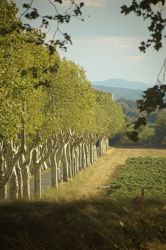
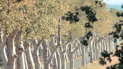
Argeliers in the region of Languedoc-Roussillon with its 1,321 inhabitants is a place in France - some 384 mi or ( 618 km ) South of Paris , the country's capital city .
Time in Argeliers is now 02:21 PM (Friday) . The local timezone is named " Europe/Paris " with a UTC offset of 1 hours. Depending on your budget, these more prominent locations might be interesting for you: Salleles-d'Aude, Saint-Chinian, Rodez, Puisserguier, and Perpignan. Since you are here already, consider visiting Salleles-d'Aude . We saw some hobby film on the internet . Scroll down to see the most favourite one or select the video collection in the navigation. Where to go and what to see in Argeliers ? We have collected some references on our attractions page.
Videos
Canal du Midi Cruise Croisière /PénicheAlégria PontCapestang
La bien connue péniche-hôtel Alégria passant sous le pont de Capestang, le pont le plus étroit du canal du Midi... Ne pas oublier de baisser la tête! The famous hotel-barge Alegria passing under the C ..
Le Canal du Midi
Balade sur le chemin de halage ..
Canal du Midi par vélo
By bicycle along the "Canal du Midi" in France (region Narbonne) ..
sainte marie a st chinian
la sainte vierge marie apparue a st chinian voir le film c'est vrai et pour un pellerinage chambres d hotes la maisonduparc au coeur du village ..
Videos provided by Youtube are under the copyright of their owners.
Interesting facts about this location
Port de la Robine
Port de la Robine is located at PK168 on the Canal du Midi immediately adjacent to the Truilhas Bridge. The turn for the La Nouvelle branch is .5 km north east and the Cesse aqueduct .5 km south west. There is room for 80 boats. Facilities include parking, sanitation, fuel, and security. Map
Located at 43.28 2.92 (Lat./Long.); Less than 3 km away
Cesse Aqueduct
Cesse Aqueduct (French: Pont-Canal de la Cesse) is one of several aqueducts, or water bridge, created for the Canal du Midi. Originally, the canal crossed the Cesse on the level. Pierre-Paul Riquet, the original architect of the canal, had placed a curved dam 205 metres long and 9.10 metres high across the Cesse in order to collect water to make the crossing possible; the aqueduct replaced this dam.
Located at 43.28 2.92 (Lat./Long.); Less than 4 km away
Épanchoir des Patiasses
The Épanchoir des Patiasses is a siphon for water release from the Canal du Midi immediately to the west of the Cesse Aqueduct and southeast of the village of Mirepeisset. {{#invoke:Coordinates|coord}}{{#coordinates:43.27973|N|2.91489|E|scale:1000|||| |primary |name=Patiasses Siphon }}
Located at 43.28 2.91 (Lat./Long.); Less than 4 km away
Le Somail
Le Somail is a hamlet in the Aude department of southwestern France. Le Somail is located along the Canal du Midi. Its territory is shared by 3 communes: Ginestas, Saint-Nazaire-d'Aude and Sallèles-d'Aude. In the 17th century, the town was the resting place for passengers on the mail barge operating between Toulouse and Agde.
Located at 43.26 2.91 (Lat./Long.); Less than 5 km away
Castles in Hérault
There are numerous castles in the Hérault départment of France. Most are little more than ruins and many are barely discernible. Castles or their remains may be found at the following locations among others: Agel: Medieval builders in the 12th century raised a castle whose location became the centre of the village. The castle controlled strategic routes.
Located at 43.34 2.85 (Lat./Long.); Less than 5 km away
Pictures

Historical Weather
Related Locations
Information of geographic nature is based on public data provided by geonames.org, CIA world facts book, Unesco, DBpedia and wikipedia. Weather is based on NOAA GFS.