-
You are here:
- Homepage »
- France »
- Provence-Alpes-Cote d'Azur » Menerbes

Menerbes Destination Guide
Delve into Menerbes in France
Menerbes in the region of Provence-Alpes-Côte d'Azur with its 1,062 residents is located in France - some 373 mi or ( 600 km ) South of Paris , the country's capital .
Local time in Menerbes is now 12:17 PM (Tuesday) . The local timezone is named " Europe/Paris " with a UTC offset of 1 hours. Depending on your mobility, these larger destinations might be interesting for you: Vernegues, Venasque, Valence, Toulon, and Robion. While being here, you might want to check out Vernegues . We discovered some clip posted online . Scroll down to see the most favourite one or select the video collection in the navigation. Are you curious about the possible sightseeing spots and facts in Menerbes ? We have collected some references on our attractions page.
Videos
Ménerbes: Village fantôme?
Vidéo extraite de mon blogue: une-carte-postale.blogspot.com ..
Bienvenue à Oppède le Vieux - La Traviata (Verdi)
Vidéo extraite de mon blogue: une-carte-postale.blogspot.com ..
Galerie 22 Art Contemporain
Galerie d'art contemporain, Vaucluse, Luberon , vue de l'exposition actuelle à la Galerie 22 jusqu'au 15 janvier 2012; Bernard DEJONGHE, Claude CHAMPY, Camille VIROT, SHAHABUDDIN, Alain GROSAJT, Natha ..
Walking up the hill into Menerbes
..
Videos provided by Youtube are under the copyright of their owners.
Interesting facts about this location
Luberon
The Luberon or Luberon Massif, also called Lubéron, has a maximum altitude of 1,256 m and an area of about 600 km². It is composed of three mountain ranges: (from west to east) the Little Luberon, the Big Luberon and the Oriental Luberon, lying in the middle of Provence in the far south of France. The valleys north and south of them contain a number of towns and villages as well as agricultural land.
Located at 43.80 5.22 (Lat./Long.); Less than 4 km away
Château de Lacoste
The Château de Lacoste or La Coste is a ruined castle in the commune of Lacoste in the Vaucluse département of France.
Located at 43.83 5.27 (Lat./Long.); Less than 5 km away
La Louve
La Louve is a private French contemporary garden, open to the public, in the town of Bonnieux in the Vaucluse Department of France. It was created beginning in 1986 by Nicole de Vésian, textile designer for the Paris fashion house of Hermès. It is classified by the French Ministry of Culture as one of the Notable Gardens of France.
Located at 43.82 5.31 (Lat./Long.); Less than 8 km away
Village des Bories
Under the touristic name of “Village des Bories” there exists, 1.5 km West of the Provençal village of Gordes, in the Vaucluse department of France, an outlying hamlet consisting of 20 or so dry stone (mortarless) huts that have been the exhibits of an open air museum for over three decades.
Located at 43.91 5.18 (Lat./Long.); Less than 9 km away
Pont Julien
The Pont Julien (French for Julian Bridge) is a Roman stone arch bridge over the Calavon river in the south-east of France dating to 3 BC. It is located in the territory of the commune of Bonnieux, north of the village of the same name, and 8 km west of Apt. Originally, it was built on the Via Domitia, an important Roman road which connected Italy to the Roman territories in France. It was used for car traffic until 2005, when a replacement bridge was built to preserve it from wear and tear.
Located at 43.86 5.31 (Lat./Long.); Less than 9 km away
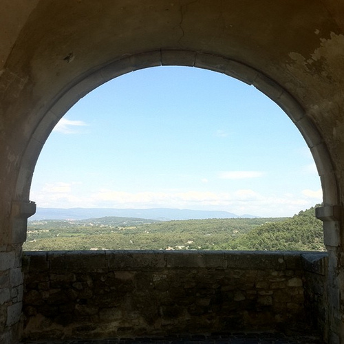
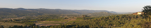
Pictures
Historical Weather
Related Locations
Information of geographic nature is based on public data provided by geonames.org, CIA world facts book, Unesco, DBpedia and wikipedia. Weather is based on NOAA GFS.