-
You are here:
- Homepage »
- Kosovo »
- Komuna e Kacanikut » Kacanik

Kacanik Destination Guide
Discover Kacanik in Kosovo
Kacanik in the region of Komuna e Kaçanikut with its 9,800 habitants is a town located in Kosovo - some 31 mi or ( 50 km ) South of Pristina , the country's capital .
Local time in Kacanik is now 10:29 AM (Wednesday) . The local timezone is named " Europe/Berlin " with a UTC offset of 1 hours. Depending on your flexibility, these larger cities might be interesting for you: Timişoara, Sofia, Ferizaj, Skopje, and Runjevo. When in this area, you might want to check out Timişoara . We found some clip posted online . Scroll down to see the most favourite one or select the video collection in the navigation. Are you looking for some initial hints on what might be interesting in Kacanik ? We have collected some references on our attractions page.
Videos
M2 / E65 Prishtine - Han i Elezit
Pjesa prej Kacanikut deri ne Han te Elezit / This is the part from Kacanik all the way to the border town of Han i Elezit, 2011 ..
Secret BBQ
Here is a candid view of our bbq. Enjoy!! ..
Videos provided by Youtube are under the copyright of their owners.
Interesting facts about this location
Nerodimka (river)
The Nerodimka, is a river in the Nerodimlje region of Kosovo, a 41 km-long left tributary to the Lepenac river. The Nerodimka is known for its bifurcation. The Nerodimka originated from two streams, one flowing from the Nerodimka, the other one from the Crnoljeva mountain.
Located at 42.23 21.25 (Lat./Long.); Less than 1 km away
Kačanik
Kaçanik is a town and municipality in southern Kosova, in the Ferizaj district. The municipality covers an area of 211 km, including the town of Kaçanik and 31 villages. It has a population of approximately 33,454. With the exception of eight Roma and 30 Bosniaks, the municipality is ethnically homogeneous Kosovo Albanian. In March 2011 the pilot municipal unit of Hani Elezit was established within the Kaçanik municipality, holding approximately 10,000 out of the 33,454 total inhabitants.
Located at 42.25 21.26 (Lat./Long.); Less than 2 km away
Paldenica (archaeological site)
Part of a series of articles upon Archaeology of Kosovo Main article: Roman Period Sites in Kosovo {{#invoke:Coordinates|coord}}{{#coordinates:42.165161|N|21.267434|E||||| |primary |name= }} Paldenica is situated around 150 m on the left side of the Pristina-Skopje road, at the entrance of the village of Paldenica, above a hill which lays west from the village, on a terrain configuration of a shape of a horse, that has a broader overview of wider area of Lepenc gorge and the town of Hani i Elezit, an amount of surface visible remains of roman pottery and bricks/tiles has been recorded in the past.
Located at 42.17 21.27 (Lat./Long.); Less than 7 km away
Kllokot-Vërban (archaeological site)
Part of a series of articles upon Archaeology of Kosovo Main article: Roman Period Sites in Kosovo {{#invoke:Coordinates|coord}}{{#coordinates:42.306149|N|21.280174|E||||| |primary |name= }} Recorded traces of the Vërban archaeological site, inform us a lot about site selection for the settlement building during the roman times.
Located at 42.31 21.28 (Lat./Long.); Less than 8 km away
Kabaš
Kabaš is a town in the Vitina municipality of southeast Kosovo. {{#invoke:Coordinates|coord}}{{#coordinates:42.30169|21.354675||||||| |primary |name= }}
Located at 42.30 21.35 (Lat./Long.); Less than 11 km away
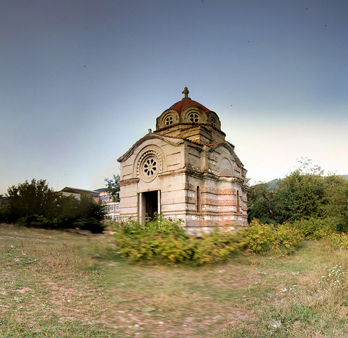
Pictures

Historical Weather
Related Locations


Information of geographic nature is based on public data provided by geonames.org, CIA world facts book, Unesco, DBpedia and wikipedia. Weather is based on NOAA GFS.