
Discover Loriga in Portugal
Loriga in the region of Guarda is a town located in Portugal - some 135 mi or ( 218 km ) North-East of Lisbon , the country's capital .
Local time in Loriga is now 06:29 AM (Friday) . The local timezone is named " Europe/Lisbon " with a UTC offset of 0 hours. Depending on your flexibility, these larger cities might be interesting for you: Santarém, Lisbon, Seia, Porto, and Penhas da Saude. When in this area, you might want to check out Santarém . We found some clip posted online . Scroll down to see the most favourite one or select the video collection in the navigation. Are you looking for some initial hints on what might be interesting in Loriga ? We have collected some references on our attractions page.
Videos
Beiras, Center of Portugal // Beiras, o centro de Portugal
www.bookportugal.com Aveiro, Coimbra, Guarda, Viseu and Castelo Branco are some of the main cities located in the centre of Portugal. In this region you can also find Serra da Estrela, the highest poi ..
salto de cabeça
candao / parente city ..
Bouldering at Pedra Do Urso (Portugal)
the-art-of-movement.com This video shows Yvonne and Tobias during their trip to Portugal 2012. They spend a day at pedra do urso at the serra de estrella and did some boulder. Pedra do Urso is the mos ..
2007vecima
..
Videos provided by Youtube are under the copyright of their owners.
Interesting facts about this location
Sazes da Beira
Sazes da Beira is a Portuguese parish, located in the municipality of Seia. It has a total area of 6,39 km² and 341 inhabitants (2001). Sazes’ mines were already explored by the Romans in V b.C. The village was founded by families of shepherds who come from Sandomil and Corgas (closest town and village respectively) looking for fertile territories near water.
Located at 40.35 -7.74 (Lat./Long.); Less than 5 km away
Serra da Estrela Natural Park
Serra da Estrela Natural Park is situated in the largest mountain range in Portugal - the Serra da Estrela, and is the source of the rivers Mondego, Zêzere (tributary of the Tagus), and Alva. The park is the largest natural conservation area in Portugal and occupies about 1,000 km². More than half of its area is located above an altitude of 700 m. At 1,993 m it contains the highest peak in Continental Portugal and a ski resort.
Located at 40.32 -7.61 (Lat./Long.); Less than 7 km away
Vide (Seia)
Vide is a Portuguese parish, located in the municipality of Seia.
Located at 40.30 -7.78 (Lat./Long.); Less than 9 km away
São Romão (Seia)
São Romão is a parish in the municipality of Seia, with a land area of 17.92 km, 6,500 inhabitants and a density of 362 inhabitants/Km It was the county seat from the 13th century until 1836. It consisted of one parish and had, in 1801, 1426 inhabitants. Location of São Romão on Google Maps: http://maps. google. com/maps?f=q&hl=pt-PT&geocode=&q=Sao+Romao+-++Seia&sll=-6.982778,-39.660833&sspn=0.006784,0.009356&ie=UTF8&ll=40.401961,-7.717381&spn=0.08327,0.149689&z=13
Located at 40.40 -7.72 (Lat./Long.); Less than 9 km away
Teixeira (Seia)
Teixeira is a Portuguese parish, located in the municipality of Seia.
Located at 40.25 -7.74 (Lat./Long.); Less than 9 km away
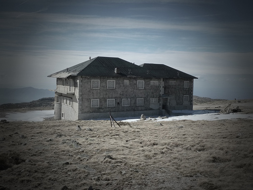
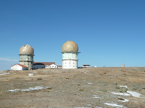
Pictures
Related Locations
Information of geographic nature is based on public data provided by geonames.org, CIA world facts book, Unesco, DBpedia and wikipedia. Weather is based on NOAA GFS.