-
You are here:
- Homepage »
- Spain »
- Canary Islands » Caleta de Sebo

Caleta de Sebo Destination Guide
Touring Caleta de Sebo in Spain
Caleta de Sebo in the region of Canary Islands is a city located in Spain - some 951 mi or ( 1530 km ) South-West of Madrid , the country's capital city .
Time in Caleta de Sebo is now 08:27 AM (Tuesday) . The local timezone is named " Atlantic/Canary " with a UTC offset of 0 hours. Depending on your travel resources, these more prominent places might be interesting for you: Funchal, El Aaiún, Tuineje, Teguise, and Tabayesco. Being here already, consider visiting Funchal . We collected some hobby film on the internet . Scroll down to see the most favourite one or select the video collection in the navigation. Check out our recommendations for Caleta de Sebo ? We have collected some references on our attractions page.
Videos
Isla La Graciosa / Lanzarote, Video 2
La Graciosa heißt die kleine Insel, die sich am oberen Ende von Lanzarote anschliesst . Ruth Corujo Saavedra vom LanzaroteTourist erzählt, was man auf der Insel alles erleben kann.Video- Impressionen ..
Isla La Graciosa / Lanzarote, Video 1
La Graciosa (zu deutsch: die Anmutige) heißt diese nur 29,2 Quadratkilometer kleine Insel, die sich am oberen Ende von Lanzarote anschliesst und zusammen mit anliegenden noch kleineren Inselchen das n ..
LA CORONA
Wulkan la Corona to jeden z naszych zaplanowanych celów na wyspie Lanzarote. Jeszcze przed wylotem z kraju planowaliśmy wejście na ten wulkan, który wznosi się na wysokość 609 m npm i jest bardzo char ..
Lanzarote volcano corona 08 2009
..
Videos provided by Youtube are under the copyright of their owners.
Interesting facts about this location
Caleta de Sebo
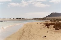
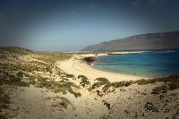
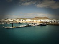
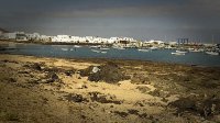
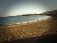
Caleta del Sebo, in the Canary Islands, is the main settlement and capital community of La Graciosa. The population is 656 (ISTAC, 2006), La Graciosa is included in the municipality of Teguise on Lanzarote. Tourism is the main industry along with fishing. Every year, tourists flock to the island for its temperate climate and its sandy volcanic coasts. The island has a school, a lyceum, a post office, supermarkets, a port, beaches, banks, and a square (plaza) where bikes can be hired.
Located at 29.23 -13.50 (Lat./Long.); Less than 0 km away
Graciosa, Canary Islands
Graciosa Island or commonly La Graciosa is a volcanic island in the Canary Islands of Spain, located 2 km north of the island of Lanzarote with the strait named Río. It was formed by the Canary hotspot. The island is part of Parque Natural del Archipiélago Chinijo, Reserve of the Biosphere, "Marine Reserve of La Graciosa and the islands to the North of Lanzarote" it is linked to the municipality of Teguise. The island forms a part of the Chinijo Archipelago.
Located at 29.25 -13.51 (Lat./Long.); Less than 2 km away
Mirador del Río
Mirador del Río is a viewpoint situated on an approximately 475 meters high escarpment called Batería del Río in the very north of the Canarian island of Lanzarote. The location was created in 1974 by the local artist César Manrique in his typical style, consisting of a balustraded cafe, a souvenir shop and a platform on its top which are integrated in the lava rock. Mirador der Río provides a view over the strait of "Río" (naming the viewpoint) towards the archaic island of La Graciosa.
Located at 29.21 -13.48 (Lat./Long.); Less than 3 km away
Casas de Pedro Barba
Casas de Pedro Barba, in the Canary Islands, Spain, is a small community of summer residences in La Graciosa island. The population is 2. It's part of the municipality of Teguise on Lanzarote. There is a road to the other inhabited place in the island, Caleta de Sebo.
Located at 29.26 -13.48 (Lat./Long.); Less than 4 km away
Guinate
Guinate is a village in the municipality of Haría in northern Lanzarote in the Las Palmas province of Spain. The village has a large (45000 m) tropical park which has numerous bird species, including penguins, and many plants and animals. On the cost there is El Mirador de Guinate which has fine views of the coast and of several small islands.
Located at 29.20 -13.48 (Lat./Long.); Less than 4 km away
Pictures
Related Locations
Information of geographic nature is based on public data provided by geonames.org, CIA world facts book, Unesco, DBpedia and wikipedia. Weather is based on NOAA GFS.

