-
You are here:
- Homepage »
- Spain »
- Extremadura » Casas de Don Antonio

Casas de Don Antonio Destination Guide
Discover Casas de Don Antonio in Spain
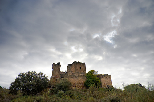
Casas de Don Antonio in the region of Extremadura with its 209 habitants is a place located in Spain - some 160 mi or ( 257 km ) South-West of Madrid , the country's capital .
Local time in Casas de Don Antonio is now 09:18 AM (Tuesday) . The local timezone is named " Europe/Madrid " with a UTC offset of 1 hours. Depending on your mobility, these larger cities might be interesting for you: Lisbon, Torrequemada, Torreorgaz, Torremocha, and Montanchez. When in this area, you might want to check out Lisbon . We discovered some clip posted online . Scroll down to see the most favourite one or select the video collection in the navigation. Are you looking for some initial hints on what might be interesting in Casas de Don Antonio ? We have collected some references on our attractions page.
Videos
Carmonita
Carmonita-Badajoz-Spain.Catholic town, pueblo e iglesia Catolica. Founded in origen by arab culture .Lo mejor de dos culturas fundidas con lo moderno.Precioso lugar para visitar y hacer amigos. Beauti ..
Sucata Run 2008 - South through Spain
Scoot takes the wheel of the General as Team GI head for the border ..
Videos provided by Youtube are under the copyright of their owners.
Interesting facts about this location
Casas de Don Antonio
Casas de Don Antonio is a village in the province of Cáceres and autonomous community of Extremadura, Spain. The municipality covers an area of 31 square kilometres and as of 2011 had a population of 213 people.
Located at 39.23 -6.28 (Lat./Long.); Less than 1 km away
Aldea del Cano
Aldea del Cano is a municipality located in the province of Cáceres, Extremadura, Spain. According to the 2006 census, the municipality has a population of 751 inhabitants.
Located at 39.28 -6.32 (Lat./Long.); Less than 6 km away
Albalá
Albalá is a municipality located in the province of Cáceres, Extremadura, Spain. According to the 2006 census, the municipality has a population of 850 inhabitants.
Located at 39.25 -6.18 (Lat./Long.); Less than 9 km away
Carmonita
Carmonita is a municipality located in the province of Badajoz, Extremadura, Spain. According to the 2006 census, the municipality has a population of 650 inhabitants.
Located at 39.15 -6.33 (Lat./Long.); Less than 10 km away
Arroyomolinos, Cáceres
Arroyomolinos is a village in the province of Cáceres and autonomous community of Extremadura, Spain. The municipality covers an area of 115 square kilometres and as of 2011 had a population of 962 people.
Located at 39.18 -6.17 (Lat./Long.); Less than 12 km away
Pictures
Related Locations
Information of geographic nature is based on public data provided by geonames.org, CIA world facts book, Unesco, DBpedia and wikipedia. Weather is based on NOAA GFS.