-
You are here:
- Homepage »
- United Kingdom »
- England » Disley

Disley Destination Guide
Explore Disley in United Kingdom
Disley in the region of England with its 3,159 inhabitants is a town in United Kingdom - some 151 mi or ( 243 km ) North-West of London , the country's capital city .
Current time in Disley is now 03:00 AM (Sunday) . The local timezone is named " Europe/London " with a UTC offset of 0 hours. Depending on the availability of means of transportation, these more prominent locations might be interesting for you: Strines, Stockport, Stalybridge, Sheffield, and Prestbury. Since you are here already, make sure to check out Strines . We encountered some video on the web . Scroll down to see the most favourite one or select the video collection in the navigation. Where to go and what to see in Disley ? We have collected some references on our attractions page.
Videos
Macclesfield & Peak Forest Canals - Marple Junction
Marple Junction is at the junction of the Macclesfield Canal with the Peak Forest Canal (Lower) and the Peak Forest Canal (Upper). Since the crew were ashore on pillage and grocery shopping duties the ..
Peak Forest Canal - Marple Flight
The Marple flight of 16 locks raises the Peak Forest (Lower) Canal 209 feet from its lower level to Marple Junction, the junction with the Macclesfield Canal, in a little over a mile. At the top gates ..
60-Second Overlander ~ Who needs sand ~ testing 70 year old Jeeps in England
60-Second Overlander ~ Who needs sand: Testing 70 year old Jeeps in England ~ Toby Savage shows how he's testing 2 restored Jeeps, deep in the UK winter, for a springtime Sahara expedition (for detail ..
New Mills - Albion Road
A short video clip filmed on Albion Road in New Mills, Derbyshire. The clip includes a number 61 Bowers Bus, and ends with a view of Swizzels Matlow. ..
Videos provided by Youtube are under the copyright of their owners.
Interesting facts about this location
Disley railway station
Disley railway station serves the village of Disley in Cheshire, England. It is 12+⁄3 miles south east of Manchester Piccadilly on the Manchester to Buxton line, built by the Stockport, Disley and Whaley Bridge Railway. The station, and all trains serving it, are operated by Northern Rail.
Located at 53.36 -2.04 (Lat./Long.); Less than 0 km away
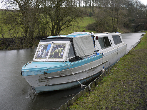
Peak Forest Canal
The Peak Forest Canal is a narrow (7-foot gauge) locked artificial waterway in northern England. It is 14.8 miles long and forms part of the connected English/Welsh inland waterway network.
Located at 53.37 -2.05 (Lat./Long.); Less than 1 km away
Wyberslegh Hall
Wyberslegh Hall (sometimes spelled Wybersley Hall) is a large house dating from the 16th century, on the edge of the village of High Lane in Greater Manchester, England. Now in private ownership, Wyberslegh Hall was formerly the home of eldest sons of the Bradshaw family. Of unusual design, it has castellated gables with a rather ungainly castellated wall between them, above the main entrance. Hardly a handsome house but an historic one. The author Christopher Isherwood was born there.
Located at 53.37 -2.06 (Lat./Long.); Less than 2 km away
Lyme Park
Lyme Park is a large estate located south of Disley, Cheshire. The estate is managed by the National Trust and consists of a mansion house surrounded by formal gardens, in a deer park in the Peak District National Park. The house is the largest in Cheshire,{{#invoke:Footnotes|sfn}} and has been designated by English Heritage as a Grade I listed building. The estate was granted to Sir Thomas Danyers in 1346 and passed to the Leghs of Lyme by marriage in 1388.
Located at 53.34 -2.05 (Lat./Long.); Less than 2 km away
New Mills Newtown railway station
New Mills Newtown railway station serves the town of New Mills in Derbyshire, England. The station is 14+⁄4 miles south east of Manchester Piccadilly on the Manchester to Buxton line. It also serves as an interchange with the Hope Valley Line station New Mills Central, 15 minutes' walk away across the valley.
Located at 53.36 -2.01 (Lat./Long.); Less than 2 km away
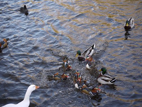
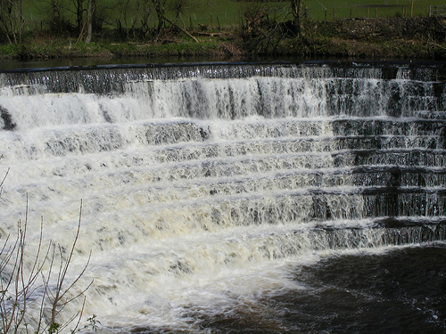
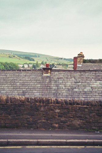
Pictures
Related Locations
Information of geographic nature is based on public data provided by geonames.org, CIA world facts book, Unesco, DBpedia and wikipedia. Weather is based on NOAA GFS.