-
You are here:
- Homepage »
- United Kingdom »
- England » Ewhurst

Ewhurst Destination Guide
Explore Ewhurst in United Kingdom
Ewhurst in the region of England is a place in United Kingdom - some 28 mi or ( 45 km ) South-West of London , the country's capital city .
Time in Ewhurst is now 03:41 AM (Friday) . The local timezone is named " Europe/London " with a UTC offset of 0 hours. Depending on your budget, these more prominent locations might be interesting for you: Southampton, Slinfold, Reading, Oxford, and Ockley. Since you are here already, consider visiting Southampton . We saw some hobby film on the internet . Scroll down to see the most favourite one or select the video collection in the navigation. Where to go and what to see in Ewhurst ? We have collected some references on our attractions page.
Videos
FIELD MARSHALL TRACTOR ROLLING : WWW.RUDGWICKSTEAMSHOW.CO.UK WWW.FIELDMARSHALLTRACTORS.COM
FIELD MARSHALL SERIES 2 TRACTOR ROLLING AT RUDGWICK STEAM & COUNTRY SHOWGROUND. www.rudgwicksteamshow.co.uk HELD ANNUALLY OVER 3 DAYS OF AUGUST BANK HOLIDAY WEEKEND. SURREY/WEST SUSSEX BORDER UK BETWE ..
Driving Through Gomshall, Surrey, England (Friday 25th May 2012)
Driving Through Gomshall, Surrey, England (Friday 25th May 2012) The village of Gomshall is bisected by the A25 running west to Guildford and east to Dorking. Neighbouring villages include Shere, Albu ..
60163 Tornado on VSOE Surrey Hills, 19 Jun 2010
A1 Class Peppercorn 4-6-2 Pacific, 60163 Tornado, pulls the VSOE Luncheon Special excursion from London Victoria via the Surrey Hills on 19th June 2010. Tornado is a new-build steam loco, completed in ..
Twonk at Wotton House
PH & co having a 'twonk' in the Library Bar of Wotton House, Surrey. Tall Persons Club Annual Anniversary Party, August Bank Holiday 2007 (in August, surprisingly!). Apologies for the terrible video q ..
Videos provided by Youtube are under the copyright of their owners.
Interesting facts about this location
Winterfold Forest
Winterfold Forest is a wooded area near Farley Green in Surrey, England. Its highest elevation is 678 feet .
Located at 51.18 -0.47 (Lat./Long.); Less than 4 km away
Holmbury St Mary
Holmbury St. Mary is a village near Abinger in the Mole Valley district of Surrey, England located within the Hurtwood, the largest area of common land in Surrey. Nearby to the south is Holmbury Hill, which at 857 feet is the fourth highest point in Surrey. The village itself is named after the hill and the large Victorian church at its heart.
Located at 51.19 -0.41 (Lat./Long.); Less than 5 km away
High Weald AONB
The High Weald Area of Outstanding Natural Beauty is situated in south-east England. Covering an area of 1,450 square kilometres, it extends across the counties of Surrey, West Sussex, East Sussex and Kent. It is the fourth largest Area of Outstanding Beauty in England and Wales. It is characterised by an attractive, small-scale landscape containing a mosaic of small farms and woodlands, historic parks, sunken lanes and ridge-top villages.
Located at 51.11 -0.41 (Lat./Long.); Less than 5 km away
Greensand Way
The Greensand Way is long distance walk of 108 miles in southeast England, from Haslemere in Surrey to Hamstreet in Kent. It follows the Greensand Ridge along the Surrey Hills and Chart Hills. The route is mostly rural, passing through woods, and alongside fruit orchards and hop farms in Kent and links with the Stour Valley Walk near Pluckley in Kent. The trail was opened on 15 June 1980.
Located at 51.18 -0.38 (Lat./Long.); Less than 5 km away
Greensand Ridge
The Greensand Ridge is an extensive, prominent, often heavily wooded, sandstone escarpment and range of hills in south-east England. It runs in a horseshoe shape around the Weald of Surrey, Sussex and Kent. It reaches its highest elevation, 294 metres, at Leith Hill in Surrey—the second highest point in south-east England, while another hill, Blackdown, is the highest point in Sussex at 280 metres . The eastern end of the ridge forms the northern boundary of Romney Marsh.
Located at 51.17 -0.37 (Lat./Long.); Less than 5 km away
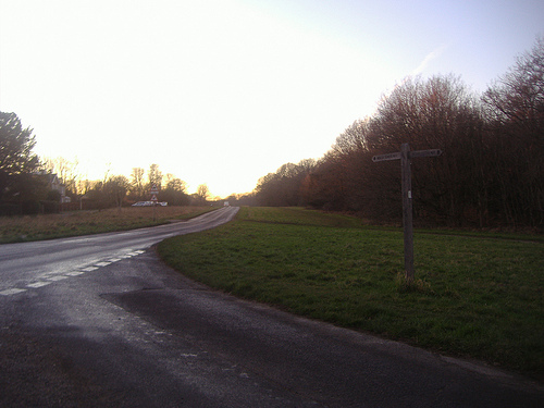
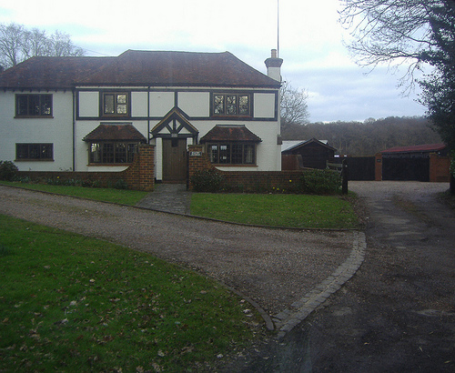
Pictures


Related Locations
Information of geographic nature is based on public data provided by geonames.org, CIA world facts book, Unesco, DBpedia and wikipedia. Weather is based on NOAA GFS.