-
You are here:
- Homepage »
- United Kingdom »
- England » Shere

Shere Destination Guide
Explore Shere in United Kingdom
Shere in the region of England is a town in United Kingdom - some 25 mi or ( 40 km ) South-West of London , the country's capital city .
Current time in Shere is now 07:34 PM (Thursday) . The local timezone is named " Europe/London " with a UTC offset of 0 hours. Depending on the availability of means of transportation, these more prominent locations might be interesting for you: Woking, Weybridge, Southampton, Shere, and Reading. Since you are here already, make sure to check out Woking . We saw some video on the web . Scroll down to see the most favourite one or select the video collection in the navigation. Where to go and what to see in Shere ? We have collected some references on our attractions page.
Videos
WWII bunker in the Surrey Hills
Came across this derelict WWII bunker near St Marthas Church Guildford - it was built 70 years ago when a German invasion of southern England seemed immanent - it has commanding views over the country ..
Driving Through Gomshall, Surrey, England (Friday 25th May 2012)
Driving Through Gomshall, Surrey, England (Friday 25th May 2012) The village of Gomshall is bisected by the A25 running west to Guildford and east to Dorking. Neighbouring villages include Shere, Albu ..
Horsley The Camping and Caravanning Club Site
Campingplatz in Horsley / Surrey A day at the Campsite Horsley / Surrey 28.September 2010 ..
60163 Tornado on VSOE Surrey Hills, 19 Jun 2010
A1 Class Peppercorn 4-6-2 Pacific, 60163 Tornado, pulls the VSOE Luncheon Special excursion from London Victoria via the Surrey Hills on 19th June 2010. Tornado is a new-build steam loco, completed in ..
Videos provided by Youtube are under the copyright of their owners.
Interesting facts about this location
Albury Park
Albury Park is a country park and Grade II* listed historic country house (Albury Park Mansion) in Surrey, England. It covers over 150 acres; within this area is the old village of Albury, which consists of three or four houses and a church. The River Tillingbourne runs through the grounds.
Located at 51.22 -0.48 (Lat./Long.); Less than 1 km away
Gomshall railway station
Gomshall railway station serves the village of Gomshall in Surrey, England. The station, and all trains serving it, are operated by First Great Western. It is situated on the North Downs Line.
Located at 51.22 -0.44 (Lat./Long.); Less than 1 km away
Surrey Hills AONB
The Surrey Hills is a 422 km Area of Outstanding Natural Beauty (AONB), located in Surrey, England. The AONB was designated in 1958 and covers one quarter of the county of Surrey. The Surrey Hills AONB adjoins the Kent Downs AONB to the east and the Wealden portion of the former Sussex Downs AONB in the south west. The highest summit of the Surrey Hills AONB is Leith Hill near Coldharbour, at 294 metres above sea level, or 314 metres above when Leith Hill Tower is considered.
Located at 51.20 -0.50 (Lat./Long.); Less than 3 km away
Newlands Corner
Newlands Corner is a popular picnic site and beauty spot on a ridge of the Albury Downs, part of the North Downs, at a height of 568 feet, on the A25 about 4.5 km east of Guildford in Surrey. Together with the Silent Pool (2 km to the east) it forms part of the privately owned Albury Estate SSSI managed by the Surrey Wildlife Trust. There are areas of chalk grassland and woodlands. It has some of the best views of the Surrey Hills, and lies on the North Downs Way.
Located at 51.23 -0.51 (Lat./Long.); Less than 3 km away
Blackheath Common
Blackheath Common is an area of 250 acres of heathland in Surrey, England, near the village of Albury in the borough of Waverley. It is part of the Surrey Hills Area of Outstanding Natural Beauty, and much of the common is a designated Site of Special Scientific Interest. It is frequented by many walkers and cyclists. As of 2006 the common is currently being examined for use as a possible oil and gas field by a Malaysian run energy company, Star Energy.
Located at 51.20 -0.51 (Lat./Long.); Less than 4 km away
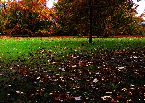
Pictures


Related Locations
Information of geographic nature is based on public data provided by geonames.org, CIA world facts book, Unesco, DBpedia and wikipedia. Weather is based on NOAA GFS.