-
You are here:
- Homepage »
- United Kingdom »
- England » Lower Bullingham

Lower Bullingham Destination Guide
Delve into Lower Bullingham in United Kingdom
Lower Bullingham in the region of England is located in United Kingdom - some 116 mi or ( 186 km ) West of London , the country's capital .
Local time in Lower Bullingham is now 10:45 PM (Monday) . The local timezone is named " Europe/London " with a UTC offset of 0 hours. Depending on your mobility, these larger destinations might be interesting for you: Wolverhampton, Wilton, Swansea, Ross on Wye, and Mordiford. While being here, you might want to check out Wolverhampton . We discovered some clip posted online . Scroll down to see the most favourite one or select the video collection in the navigation. Are you curious about the possible sightseeing spots and facts in Lower Bullingham ? We have collected some references on our attractions page.
Videos
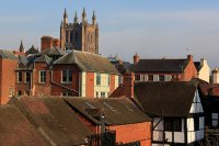
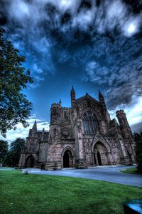
Hereford Cathedral.
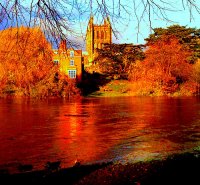
Sunday Morning by the River Wye, with the Hereford Cathedral Bells ringing. ..
Hereford : Creature Demo
Creature Demo at Hereford Skatepark Also featuring Kill City riders Jake Collins and Sam Pulley ..
Hereford Race For Life - 2012
Over 2000 of you walked, jogged and raced the 5k around Hereford Racecourse. You raised an amazing £123000! There's a pretty good chance you're on this video somewhere... see if you can see yourself? ..
Hereford cathedral close fireworks
The opening of the new Hereford cathedral close and switching on of the Cathedral solar lighting scheme. With fireworks. Sorry for poor quality. ..
Videos provided by Youtube are under the copyright of their owners.
Interesting facts about this location
Dinedor
Dinedor is a hill, village and civil parish in Herefordshire, England, 5 km south east of Hereford. The hilltop is the site of an Iron Age fort.
Located at 52.03 -2.68 (Lat./Long.); Less than 1 km away
Rotherwas Chapel
Rotherwas Chapel is a family chapel, once belonging to the Bodenham family. It is now state-owned and administered by English Heritage. The chapel contains structures from medieval, Elizabethan, Georgian and Victorian periods. The originally simple medieval building has a fine Elizabethan timber roof, a rebuilt 18th century tower, and striking Victorian interior decoration with furnishings by the Pugins. It is located near Hereford, Herefordshire, England and maintained by English Heritage.
Located at 52.04 -2.68 (Lat./Long.); Less than 2 km away
Williams' Hospital
The Williams' Hospital was an almshouse in the English town of Hereford. The hospital was founded in 1601 by Richard Williams who was an attendant of Lord Cobhans and it provided housing for six elderly men.
Located at 52.05 -2.71 (Lat./Long.); Less than 2 km away
Herefordshire Council
Herefordshire Council is the local government authority for the county of Herefordshire in England. It is a unitary authority. It is a relatively new council, formed on 1 April 1998 following the split of Hereford and Worcester back into two separate counties. It is currently run by Conservatives. It has adopted the Leader and Cabinet constitutional model.
Located at 52.05 -2.69 (Lat./Long.); Less than 2 km away
Grafton, Herefordshire
Grafton is a village and civil parish in Herefordshire, England. The parish includes the villages of Grafton and Bullinghope, and is immediately to the south of Hereford city.
Located at 52.03 -2.73 (Lat./Long.); Less than 2 km away
Pictures
Related Locations
Information of geographic nature is based on public data provided by geonames.org, CIA world facts book, Unesco, DBpedia and wikipedia. Weather is based on NOAA GFS.


