-
You are here:
- Homepage »
- United Kingdom »
- England » Orford

Orford Destination Guide
Discover Orford in United Kingdom
Orford in the region of England is a town located in United Kingdom - some 82 mi or ( 132 km ) North-East of London , the country's capital .
Local time in Orford is now 10:35 AM (Friday) . The local timezone is named " Europe/London " with a UTC offset of 0 hours. Depending on your flexibility, these larger cities might be interesting for you: Tunstall, Thorpeness, Theberton, Southend-on-Sea, and Sizewell. When in this area, you might want to check out Tunstall . We found some clip posted online . Scroll down to see the most favourite one or select the video collection in the navigation. Are you looking for some initial hints on what might be interesting in Orford ? We have collected some references on our attractions page.
Videos
I don't like this coat
coz walking along the coast gets dull sometimes. ..
Dunwich Dynamo 2008
Cycling the 120 miles from Hackney to Dunwich beach is pretty hardcore, however you cut it. But make the trip in one epic journey, and it becomes a serious slog. Add to that the fact that it's dark -- ..
Mr. Egg travels to the mountains
This is an animation I have been working on for the last few days. It's for kids between 5-6 years old. I hope you like it. And I want to thank everyone who helped me. I used Autodesk Maya. ..
Alan Gant at Aldeburgh on Porta-Bote with Torqeedo Base 801.
On River Alde, Aldeburgh, Suffolk at Brian Upson's boatyard, Slaughden Quay. ..
Videos provided by Youtube are under the copyright of their owners.
Interesting facts about this location
Orford Ness
Orford Ness is a cuspate foreland shingle spit on the Suffolk coast in Great Britain, linked to the mainland at Aldeburgh and stretching along the coast to Orford and down to North Wier Point, opposite Shingle Street. It is divided from the mainland by the River Alde, and was formed by longshore drift along the coast. The material of the spit comes from places further north, such as Dunwich. Near the middle point of its length, at the foreland point or 'Ness', lies the Orfordness lighthouse.
Located at 52.08 1.56 (Lat./Long.); Less than 2 km away
Orfordness transmitting station
The Orfordness transmitting station is a disused radio broadcasting facility at Orford Ness on the Suffolk coast in the UK. It closed in May 2012 after more than 30 years of service. The station was designed to transmit powerful mediumwave signals to much of Europe on two frequencies (648 and 1296 kHz). Built by the British government, the facility passed through various owners after privatisation in 1997.
Located at 52.10 1.58 (Lat./Long.); Less than 3 km away
Cobra Mist
Cobra Mist was the codename for an Anglo-American experimental over-the-horizon radar station at Orford Ness, Suffolk, England. It was known technically as AN/FPS-95 and sometimes referred to as System 441a; a reference to the project as a whole. Cobra Mist was part of a small number of "Cobra" long-range surveillance radars operated by the U.S.
Located at 52.10 1.58 (Lat./Long.); Less than 3 km away
Butley River
The Butley River or Butley Creek is a tributary of the River Ore in the English county of Suffolk. The river has its source in the Rendlesham Forest area to the east of Eyke. The river is tidal from its confluence with the Ore at Boyton as far inland as Butley Mills and the village of Butley. A water mill was first recorded at Butley Mills in 1530. The river was also used for the transport of goods but by 1948 had become too silted to allow either use.
Located at 52.07 1.50 (Lat./Long.); Less than 4 km away
Rendlesham Forest incident
The Rendlesham Forest Incident is the name given to a series of reported sightings of unexplained lights and the alleged landing of a craft or multiple craft of unknown origin in Rendlesham Forest, Suffolk, England, in late December 1980, just outside RAF Woodbridge, used at the time by the U.S. Air Force. Dozens of USAF personnel were eyewitnesses to various events over a two- or three-day period.
Located at 52.09 1.45 (Lat./Long.); Less than 6 km away
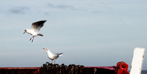
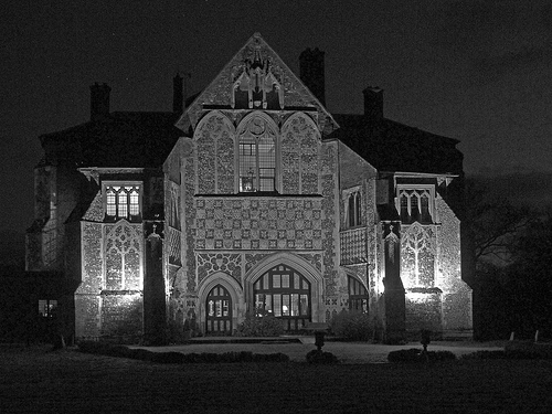
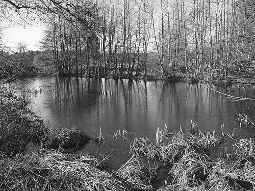
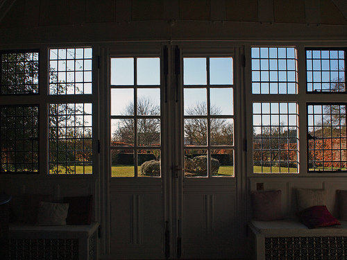
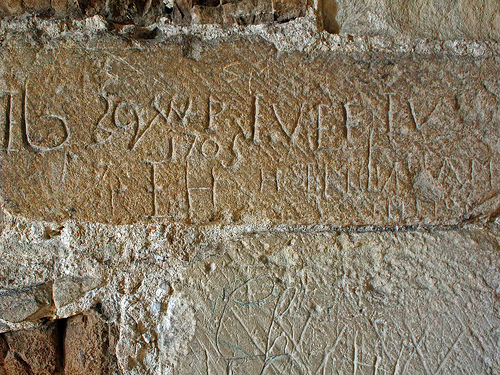
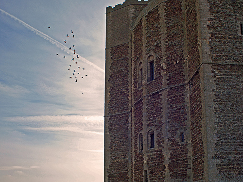
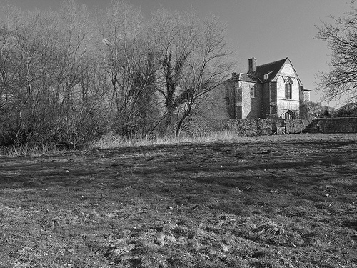
Pictures

Historical Weather
Related Locations
Information of geographic nature is based on public data provided by geonames.org, CIA world facts book, Unesco, DBpedia and wikipedia. Weather is based on NOAA GFS.