-
You are here:
- Homepage »
- United Kingdom »
- Scotland » Castletown

Castletown Destination Guide
Explore Castletown in United Kingdom
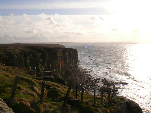
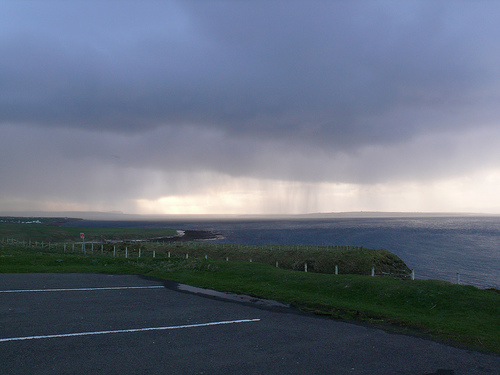
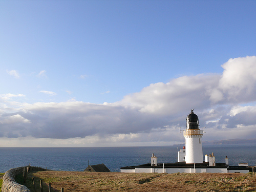
Castletown in the region of Scotland with its 772 inhabitants is a town in United Kingdom - some 505 mi or ( 813 km ) North of London , the country's capital city .
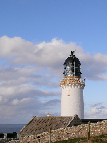
Current time in Castletown is now 06:56 PM (Saturday) . The local timezone is named " Europe/London " with a UTC offset of 0 hours. Depending on the availability of means of transportation, these more prominent locations might be interesting for you: Westerdale, Watten, Thurso, Scarfskerry, and Newcastle-on-Tyne. Since you are here already, make sure to check out Westerdale . We saw some video on the web . Scroll down to see the most favourite one or select the video collection in the navigation. Where to go and what to see in Castletown ? We have collected some references on our attractions page.
Videos
LA VIDÉO À Ne Rater Sous Aucun Prétexte!!! Partagez SVP
Pour en savoir plus, retrouvez nous sur "Ce Que Cachent Vos Médias" : www.facebook.com ..
ORKNEY ISLANDS - Gill Bay to St Margarets Hope Ferry
A video shot at Hope Bay Caithness and at St Margarets Hope on South Ronaldsway of the Pentland Ferry ..
Castle of Mey HD
Castle of Mey in HD. Video and photography by Alistair & Jan Campbell of UK City Images (www.ukcityimages.com) ..
SCOTLAND DAY 5 - 9.7.2011 - DAY 665
The Templemans - Daily Vlogs - Sept 7th - We travel to Thurso, Scotland and do some shopping and check out the Sinclair Thurso castle. Click To Tweet - clicktotweet.com NEW T-SHIRT - thetemplemans.vir ..
Videos provided by Youtube are under the copyright of their owners.
Interesting facts about this location
Olrig
Olrig is a parish in Caithness, Scotland and the main settlement in the parish is Castletown. Prior to 19th century agricultural improvements the parish was sub-divided into ten townlands or 'fermlands'. Boundaries were mostly disregarded and lost during the 19th century but many townland names remain identifiable in farmstead names ending with Mains.
Located at 58.56 -3.43 (Lat./Long.); Less than 4 km away
Dunnet Forest
Dunnet Forest in Dunnet, Caithness, Scotland, is the most northerly community woodland on the UK mainland, and has been managed since 2003 by Dunnet Forestry Trust. The forest was planted by the Forestry Commission in the mid-1950s, and later transferred to Scottish Natural Heritage.
Located at 58.61 -3.33 (Lat./Long.); Less than 4 km away
Dunnet Church
Dunnet Parish Church is a Church of Scotland church in Dunnet, Caithness, northern Scotland. References to St Mary’s Parish Church are known from as far back as the 13th century, and there are pre-16th century gravestones in the churchyard. It undoubtedly has pre-reformation origins, and the cartographer Timothy Pont was a notable minister here in 1610.
Located at 58.62 -3.34 (Lat./Long.); Less than 5 km away
Stone Lud
The Stone Lud is a standing stone in the parish of Bower in Caithness, in the Highland area of Scotland. It is located and about 7 kilometres south of Castletown. The stone has been claimed as the grave stone of Ljot Thorfinnsson, the 10th century earl of Orkney. At about 3 metres from ground level, however, it seems rather taller than anything the 10th century Norse are likely to have used.
Located at 58.54 -3.34 (Lat./Long.); Less than 6 km away
Reaster
Reaster is a small village in Highland, Scotland.
Located at 58.57 -3.27 (Lat./Long.); Less than 7 km away
Pictures

Related Locations
Information of geographic nature is based on public data provided by geonames.org, CIA world facts book, Unesco, DBpedia and wikipedia. Weather is based on NOAA GFS.