-
You are here:
- Homepage »
- United Kingdom »
- Scotland » Inveraray

Inveraray Destination Guide
Discover Inveraray in United Kingdom
Inveraray in the region of Scotland with its 568 habitants is a town located in United Kingdom - some 383 mi or ( 617 km ) North-West of London , the country's capital .
Local time in Inveraray is now 12:34 AM (Friday) . The local timezone is named " Europe/London " with a UTC offset of 0 hours. Depending on your flexibility, these larger cities might be interesting for you: Stirling, Sheffield, Pennymore, Newton, and Manchester. When in this area, you might want to check out Stirling . Are you looking for some initial hints on what might be interesting in Inveraray ? We have collected some references on our attractions page.
Videos
Videos provided by Youtube are under the copyright of their owners.
Interesting facts about this location
River Shira
River Shira (Siara / Abhainn Siara in Gaelic) is the river that runs through Glen Shira, originating from a dammed loch to the north. The river includes a few waterfalls and islands, including Eilean an Eagail (The Island of Fear). It eventually flows into a dubh loch, where the Ancient Clan MacNaghten castle and crannogs used to be, and then by Stuart Liddells house and into Loch Shira and Loch Fyne.
Located at 56.23 -5.05 (Lat./Long.); Less than 2 km away
Steallaire Ban
Steallaire Ban is a waterfall of Scotland.
Located at 56.24 -5.11 (Lat./Long.); Less than 2 km away
Eas na Bo Raibhaich
Eas na Bo Raibhaich is a waterfall of Scotland.
Located at 56.27 -5.10 (Lat./Long.); Less than 4 km away
Cruach nam Mult
Cruach nam Mult is a mountain in the Arrochar Alps, Argyll, Scotland which lies to the southern side of Hell's Glen. The mountain is near Loch Fyne and GlenGoil and is part of the northern side of the area of the Arrochar Alps that follow south to Loch Goil.
Located at 56.21 -4.95 (Lat./Long.); Less than 8 km away
Ardkinglas Railway
The Ardkinglas Railway was a narrow gauge estate railway built to serve the Ardkinglas Estate, former seat of Sir James Campbell, 2nd Baronet, of Ardkinglass on the shores of Loch Fyne. The railway ran along the shore of the loch from a boat house at Caspian. The railway was built as a transportation system for the estate and as a garden toy for the estate's 17th Laird George Livingston-Campbell-Callander.
Located at 56.25 -4.95 (Lat./Long.); Less than 8 km away
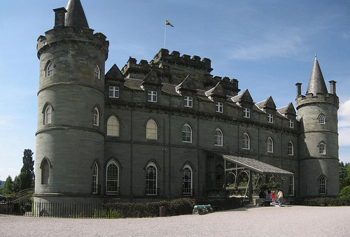
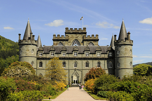
Pictures


Related Locations
Information of geographic nature is based on public data provided by geonames.org, CIA world facts book, Unesco, DBpedia and wikipedia. Weather is based on NOAA GFS.