-
You are here:
- Homepage »
- United States »
- Arizona » Apache Junction

Apache Junction Destination Guide
Explore Apache Junction in United States
Apache Junction in the region of Arizona with its 35,840 inhabitants is a town in United States - some 1,950 mi or ( 3138 km ) West of Washington , the country's capital city .
Current time in Apache Junction is now 09:35 AM (Friday) . The local timezone is named " America/Phoenix " with a UTC offset of -7 hours. Depending on the availability of means of transportation, these more prominent locations might be interesting for you: Mexicali, Buckhorn, Cactus Wren Mobile Park, Flagstaff, and Florence. Since you are here already, make sure to check out Mexicali . We encountered some video on the web . Scroll down to see the most favourite one or select the video collection in the navigation. Where to go and what to see in Apache Junction ? We have collected some references on our attractions page.
Videos
Roadhaven Manufactured RV Resort - For Sale By Owner
Roadhaven is an Apache Junction Arizona Active adult Retirement Community. ..
Indian Wells Apartments For Rent - Apache Junction, AZ
Apache Junction apartments - Indian Wells apartments for rent in Apache Junction, AZ.Get into the swing of things! Call 866.519.8661 or Visit www.apartments.com for apartment prices, pictures, videos, ..
2004 Coachmen Shasta Freeport For Sale by Superstition RV
www.superstitionrvsales.com Used RV for sale by Superstition RV in Apache Junction, AZ. It's a 2004 Coachmen Shasta Freeport. This is a 31 ½ ft. Class C Motor Home with a slide out, powered by a Ford ..
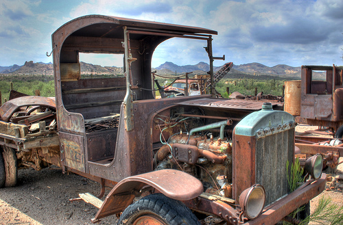
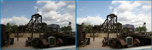
Goldfield: Reconstructed mining town Mchao's photos around Goldfield, United States (arizona)
Preview of Mchao's blog at TravelPod. Read the full blog here: www.travelpod.com This blog preview was made by TravelPod using the TripAdvisor™ TripWow slideshow creator. Learn more about these videos ..
Videos provided by Youtube are under the copyright of their owners.
Interesting facts about this location
Apache Junction, Arizona
Apache Junction is a city in Maricopa and Pinal counties in the U.S. state of Arizona. According to the 2010 Census, the population of the city was 35,840, most of whom lived in Pinal County. Apache Junction is named for the junction of the Apache Trail and U.S. Highway 60. Superstition Mountain, the westernmost peak of the Superstition Mountains, is nearby.
Located at 33.42 -111.55 (Lat./Long.); Less than 0 km away
Apache Trail High School
Apache Trail High School is a public charter high school in Apache Junction, Arizona. It is operated by The Leona Group, an operator of charter schools in Michigan, Ohio, Arizona, and Florida. For athletics, it is a member of the Charter Athletic Association (CAA).
Located at 33.41 -111.56 (Lat./Long.); Less than 1 km away
Apache Junction Unified School District
The Apache Junction Unified School District is a school district in Apache Junction, Arizona, additionally serving the town of Gold Canyon. It was formed in 1952 and serves 5,000 students at four elementary schools, one middle school, one alternative school, and one high school.
Located at 33.39 -111.56 (Lat./Long.); Less than 3 km away
Superstition Shadows Mobile Home Park, Arizona
Superstition Shadows Mobile Home Park is a populated place in Maricopa County, Arizona, United States. The name was collected from the Yellow Pages and entered into the Geographic Names Information System on June 27, 1984.
Located at 33.42 -111.59 (Lat./Long.); Less than 4 km away
KBSZ
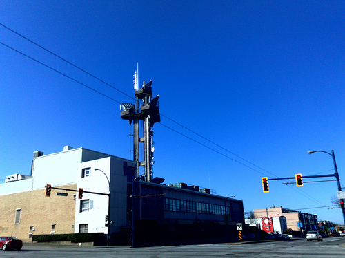
KBSZ (1260 AM; "NBC 1260") is a radio station broadcasting a talk format. Licensed to Apache Junction, Arizona, USA, the station is currently owned by 1TV. com. In 2012 KBSZ was issued an FCC construction permit to increase day power to 4,500 watts. It uses an extremely short (85 foot) lower efficiency fiberglass whip antenna.
Located at 33.38 -111.54 (Lat./Long.); Less than 4 km away
Pictures


Related Locations
Information of geographic nature is based on public data provided by geonames.org, CIA world facts book, Unesco, DBpedia and wikipedia. Weather is based on NOAA GFS.