-
You are here:
- Homepage »
- United States »
- California » Blackhawk

Blackhawk Destination Guide
Delve into Blackhawk in United States
Blackhawk in the region of California with its 9,354 residents is a city in United States - some 2,407 mi or ( 3874 km ) West of Washington , the country's capital .
Current time in Blackhawk is now 04:49 PM (Wednesday) . The local timezone is named " America/Los Angeles " with a UTC offset of -7 hours. Depending on your travel modalities, these larger destinations might be interesting for you: Alamo, Alamo Oaks, Bakersfield, Concord, and Danville. While being here, make sure to check out Alamo . We encountered some video on the web . Scroll down to see the most favourite one or select the video collection in the navigation. Are you curious about the possible sightseeing spots and facts in Blackhawk ? We have collected some references on our attractions page.
Videos
Central Skate Park - People Behaving Badly
Stanley Roberts looks at a Skate Park in the City Of San Ramon ..
Ninja 250s @ Mt. Diablo
The road from the Ranger Station at Mt. Diablo at mid mountain down to the exit at Rock City. Watch for the stopped car in the middle of a blind hairpin turn! There was some girl chasing after it tryi ..
Destroyed in 5 Minutes - People Behaving Badly
Stanley Roberts visits Mt Diablo State Park to view the damage to nature that will take 50 million years to repair, ..
Panoramic View from Mt. Diablo, December 2, 2007
Panoramic view of northern California (Bay Area) from Mt.Diablo, Danville, CA., taken at noon, December 2, 2007. Winds were recorded up to 30 mph and the temperature at noon was 37 degrees. ..
Videos provided by Youtube are under the copyright of their owners.
Interesting facts about this location
The Athenian School
The Athenian School is a college preparatory and boarding school located in Danville, California. Athenian educates students in grades 6-12 on a 75-acre campus at the base of Mt. Diablo, located near San Francisco in Northern California. Athenian was founded by Dyke Brown (1915–2006) in 1965. Athenian is composed of roughly 150 students in the middle school (grades 6-8) and 300 students in the high school (9-12). Approximately 40 students and 18 teachers live on campus full-time.
Located at 37.84 -121.95 (Lat./Long.); Less than 4 km away
Tassajara, California
Tassajara (until 1959, Tassajero; also formerly called Tasajero and Tassajera) is an unincorporated community in Contra Costa County, California. It is located on the east bank of Tassajara Creek, 6.5 miles south-southeast of Mount Diablo, at an elevation of 709 feet (216 m). Together with Blackhawk it forms the Blackhawk-Camino Tassajara CDP. A post office operated at Tassajara from 1896 to 1922.
Located at 37.80 -121.86 (Lat./Long.); Less than 5 km away
Dougherty Valley High School
Dougherty Valley High School (commonly Dougherty, Dougherty Valley, Dougherty Valley High, DVHS, or DV High) is a public high school located in the Windemere development of San Ramon, California, USA. Dougherty is one of four high schools in the San Ramon Valley Unified School District (SRVUSD), along with California High School, San Ramon Valley High School, and Monte Vista High School.
Located at 37.77 -121.90 (Lat./Long.); Less than 6 km away
Mount Diablo meridian
The Mount Diablo meridian, established in 1851, is the main surveying reference point for much of northern California and Nevada. The initial point is the on the summit of Mount Diablo.
Located at 37.88 -121.91 (Lat./Long.); Less than 7 km away
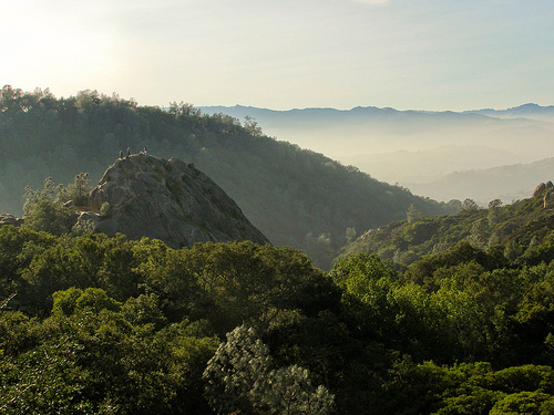
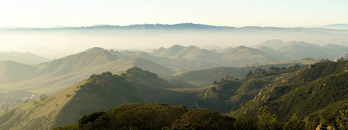
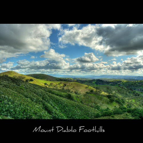
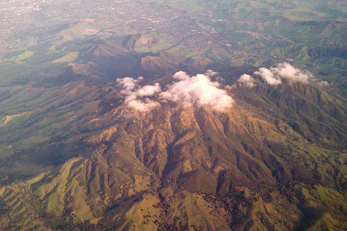
Mount Diablo
Mount Diablo is a mountain in Contra Costa County, California in the San Francisco Bay Area, located south of Clayton and northeast of Danville. It is an isolated upthrust peak of 3,864 feet, visible from most of the San Francisco Bay Area and much of northern California.
Located at 37.88 -121.91 (Lat./Long.); Less than 7 km away
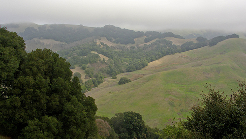
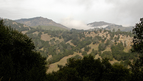
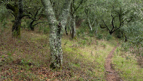
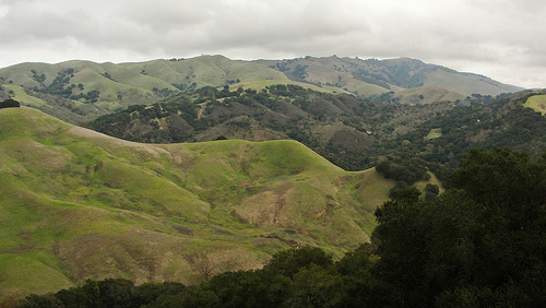
Pictures
Related Locations
Information of geographic nature is based on public data provided by geonames.org, CIA world facts book, Unesco, DBpedia and wikipedia. Weather is based on NOAA GFS.