-
You are here:
- Homepage »
- United States »
- California » Boonville

Boonville Destination Guide
Discover Boonville in United States
Boonville in the region of California with its 1,035 habitants is a town located in United States - some 2,461 mi or ( 3961 km ) West of Washington , the country's capital .
Local time in Boonville is now 04:32 PM (Wednesday) . The local timezone is named " America/Los Angeles " with a UTC offset of -7 hours. Depending on your flexibility, these larger cities might be interesting for you: Fresno, Hendy Grove, Little Penny, Napa, and Oakland. When in this area, you might want to check out Fresno . We found some clip posted online . Scroll down to see the most favourite one or select the video collection in the navigation. Are you looking for some initial hints on what might be interesting in Boonville ? We have collected some references on our attractions page.
Videos
Will Harmon San Francisco scraps 2004-2005
Old used and unused skate footage of Will Harmon filmed in the Bay Area. ..
Happy Holidays from Peachpit
A Holiday Card for all our authors and friends of Peachpit. Wishing you a peaceful holiday! ..
Interview with Heather Meldrom
Interview with Heather Meldrom, Senior Food Editor, Martha Stewart Everyday Food. She is interviewed by Alan Ahtow as she is attending the Crab & Wine Days Festival in Mendocino County - January 2012. ..
Barkley Boont at the 16th Annual Legendary Boonville Beerfest-Video1
Barkley is a Beer (Bear + Deer) and the official mascot for Anderson Valley Brewing Company. ..
Videos provided by Youtube are under the copyright of their owners.
Interesting facts about this location
Anderson Valley Brewing Company
Anderson Valley Brewing Company is a regional brewery founded in 1987 in Boonville, California, USA. The brewery takes its name from its Anderson Valley location in Mendocino County.
Located at 39.00 -123.36 (Lat./Long.); Less than 1 km away
Boonville Airport (California)
Boonville Airport, formerly Q17, is a public airport located one mile (1.6 km) northwest of the central business district (CBD) of Boonville, a town in Anderson Valley in Mendocino County, California, USA. The airport is mostly used for general aviation.
Located at 39.01 -123.38 (Lat./Long.); Less than 2 km away
Anderson, Mendocino County, California
Anderson is a former settlement in Mendocino County, California. It was located in the Anderson Valley about 1 mile northwest of Boonville. The town had a store, hotel, and blacksmith. A post office operated at Anderson from 1858 to 1875 when service was transferred to Boonville. The name honored Walter Anderson who settled the place in 1851.
Located at 39.02 -123.38 (Lat./Long.); Less than 2 km away
Anderson Valley
Anderson Valley is a sparsely populated region in western Mendocino County in Northern California. Located approximately 100 miles (160 km) north of San Francisco, the name "Anderson Valley" applies broadly to several rural, unincorporated communities in or near the alluvial terraces along Anderson Creek and other tributaries to the Navarro River.
Located at 39.06 -123.43 (Lat./Long.); Less than 8 km away
Pan Am Flight 1104
Pan Am Flight 1104, Trip No. 62100, was a Martin M-130 flying boat nicknamed the Philippine Clipper that crashed on the morning of January 21, 1943 in Northern California. The aircraft was operated by Pan American World Airways, and at the time of the crash was transporting ten US Navy personnel from Pearl Harbor, Hawaii to San Francisco, California. The aircraft crashed in poor weather into mountainous terrain approximately 7 miles southwest of Ukiah, California due to pilot error.
Located at 39.07 -123.28 (Lat./Long.); Less than 10 km away
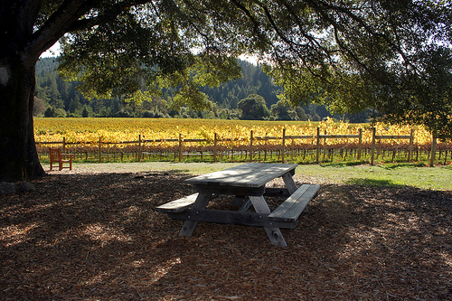
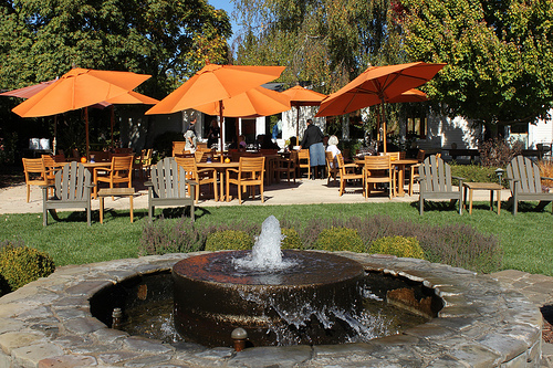
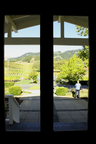
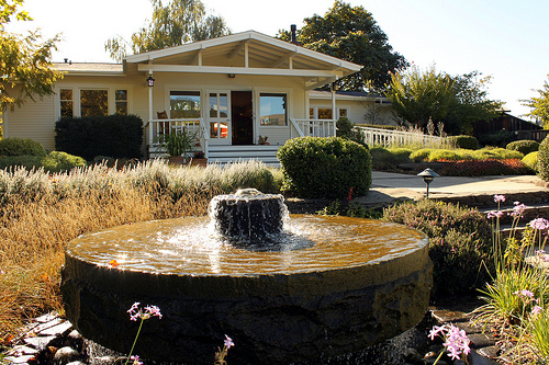
Pictures


Related Locations
Information of geographic nature is based on public data provided by geonames.org, CIA world facts book, Unesco, DBpedia and wikipedia. Weather is based on NOAA GFS.