-
You are here:
- Homepage »
- United States »
- California » La Selva Beach

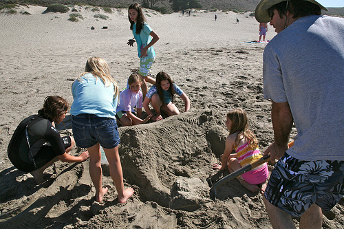
La Selva Beach Destination Guide
Delve into La Selva Beach in United States
La Selva Beach in the region of California with its 2,843 residents is a city in United States - some 2,422 mi or ( 3899 km ) West of Washington , the country's capital .
Current time in La Selva Beach is now 01:35 AM (Sunday) . The local timezone is named " America/Los Angeles " with a UTC offset of -7 hours. Depending on your travel modalities, these larger destinations might be interesting for you: Aptos, Capitola, Ellicott, Freedom, and Fresno. While being here, make sure to check out Aptos . We encountered some video on the web . Scroll down to see the most favourite one or select the video collection in the navigation. Are you curious about the possible sightseeing spots and facts in La Selva Beach ? We have collected some references on our attractions page.
Videos
man outruns tsunami
keep an eye on the ship to watch the ocean drop. stand (for your dear life) number 861 ..
EASTER SWIM 2008
KIDS SWIMMING IN SPA ON EASTER ..
Clear Conscience - Island Feeling Acoustic @ Zelda's
Band: Clear Conscience Song: Island Feeling Location: Zelda's Compton Bro's Inc. Production Droid Bionic Vs. Iphone4 Iphone 4, I take the Iphone 4 in this category, by a long shot...the clarity of vid ..
Rio Del Mar Timelapse 2K footage downsized to 1920x1080/60i
Rio Del Mar timelapse of moon rise. There were 479 frames at 2256 x 1504. Each frame was 1.25Mb of HQ jpg. ..
Videos provided by Youtube are under the copyright of their owners.
Interesting facts about this location
Manresa State Beach
Manresa State Beach is a beach near Watsonville, California in Santa Cruz County. It is operated by the California Department of Parks and Recreation. South of Manresa State Beach is Sunset State Beach. Manresa beach hosts the junior lifeguards program which runs two sessions each summer, teaching lifesaving, fitness and water safety to children in Santa Cruz County. Many local surfers were once junior lifeguards in the program.
Located at 36.92 -121.86 (Lat./Long.); Less than 2 km away
Rio del Mar, California
Rio del Mar is a census-designated place (CDP) in Santa Cruz County, California, United States. The name "Rio Del Mar" was chosen as a "catchy" name to promote real estate in the area during the 1920s. There is no body of water by that name in Santa Cruz County. But there is a large creek, Aptos Creek, that goes through Rio del Mar and empties into the Monterey Bay at Rio del Mar. Aptos Creek is the "Rio" in Rio del Mar. The population was 9,216 at the 2010 census.
Located at 36.96 -121.89 (Lat./Long.); Less than 4 km away
Monterey Bay Academy Airport
Monterey Bay Academy Airport is located near the city of Watsonville in Santa Cruz County, California, USA. This private use airport is owned by the Seventh-day Adventist Church and located on the campus of the Monterey Bay Academy, site of the former Camp McQuaide.
Located at 36.91 -121.84 (Lat./Long.); Less than 4 km away
Aptos Hills-Larkin Valley, California
Aptos Hills-Larkin Valley is a census-designated place (CDP) in Santa Cruz County, California, United States. The population was 2,381 at the 2010 census.
Located at 36.96 -121.83 (Lat./Long.); Less than 4 km away
Sunset State Beach
Sunset State Beach is a beach approximately 1.5 mile (2.5 km) long, near Watsonville, California in Santa Cruz County. It is operated by the California Department of Parks and Recreation. It is surrounded by large agricultural fields west of the city of Watsonville. North of Sunset Beach is Manresa State Beach.
Located at 36.89 -121.83 (Lat./Long.); Less than 6 km away
Pictures

Related Locations
Information of geographic nature is based on public data provided by geonames.org, CIA world facts book, Unesco, DBpedia and wikipedia. Weather is based on NOAA GFS.