-
You are here:
- Homepage »
- United States »
- Oregon » Cascade Locks

Cascade Locks Destination Guide
Discover Cascade Locks in United States
Cascade Locks in the region of Oregon with its 1,144 habitants is a place located in United States - some 2,309 mi or ( 3715 km ) West of Washington , the country's capital .
Local time in Cascade Locks is now 12:28 AM (Friday) . The local timezone is named " America/Los Angeles " with a UTC offset of -7 hours. Depending on your mobility, these larger cities might be interesting for you: Albany, Dodson, Eugene, Hillsboro, and Portland. When in this area, you might want to check out Albany . We discovered some clip posted online . Scroll down to see the most favourite one or select the video collection in the navigation. Are you looking for some initial hints on what might be interesting in Cascade Locks ? We have collected some references on our attractions page.
Videos
Bonneville Dam 1
The Bonneville Dam on the Oregon side near the Cascade Locks. This is from June 2007. ..
One Big Holiday My morning jacket Cover The Shop
the Shop practicing my morning jacket One Big Holiday on our stage in my shop. landon echeverio guitar/vocals, oscar sosa bass guitar, jon bennett keyboard, jobie anderson drums. ..
Cycling the Bridge of the Gods
RAW 2007, cycling over the Bridge of the Gods - Columbia River between Washington state and Oregon. Near Stevenson, WA. ..
Bridge of the Gods
This is the view of the peak of the Bridge of the Gods in Cascade Locks, OR. My wife and I were married over on the right side below. The view is so massive and incredible. Down on the left side are m ..
Videos provided by Youtube are under the copyright of their owners.
Interesting facts about this location
Cascade Locks and Canal
The Cascade Locks and Canal was a navigation project on the Columbia River between the U.S. states of Oregon and Washington, completed in 1896. It allowed the steamboats of the Columbia River to bypass the Cascades Rapids, and thereby opened a passage from the lower parts of the river as far as The Dalles. The locks were submerged and rendered obsolete in 1938, when the Bonneville Dam was constructed, along with a new set of locks, a short ways downstream.
Located at 45.67 -121.90 (Lat./Long.); Less than 0 km away
Cascades Rapids
The Cascades Rapids (sometimes called Cascade Falls or Cascades of the Columbia) were an area of rapids along North America's Columbia River, between the U.S. states of Washington and Oregon. Through a stretch approximately 150 yards wide, the river dropped about 40 feet in 2 miles .
Located at 45.67 -121.90 (Lat./Long.); Less than 1 km away
Bridge of the Gods (modern structure)
The Bridge of the Gods is a steel truss cantilever bridge that spans the Columbia River between Cascade Locks, Oregon and Washington state near North Bonneville. It is approximately 40 miles (64 kilometers) east of Portland, Oregon and 4 miles (6.4 km) upriver from the Bonneville Dam. It currently serves as a toll bridge operated by the Port of Cascade Locks. The bridge was built by the Wauna Toll Bridge Company of Walla Walla, Washington and opened in 1926 at a length of 1,127 feet (343 m).
Located at 45.66 -121.90 (Lat./Long.); Less than 1 km away
Cascade Locks State Airport
Cascade Locks State Airport is a public use airport located one nautical mile northeast of the central business district of Cascade Locks, a city in Hood River County, Oregon, United States. It is owned by the Oregon Department of Aviation.
Located at 45.68 -121.88 (Lat./Long.); Less than 1 km away
Bridge of the Gods (land bridge)
The Bridge of the Gods was a natural dam created by the Bonneville Slide, a major landslide that dammed the Columbia River near present-day Cascade Locks, Oregon in the Pacific Northwest of the United States. The river eventually breached the bridge and washed much of it away, but the event is remembered in local legends of the Native Americans as the Bridge of the Gods.
Located at 45.66 -121.92 (Lat./Long.); Less than 2 km away
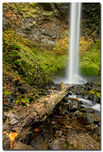
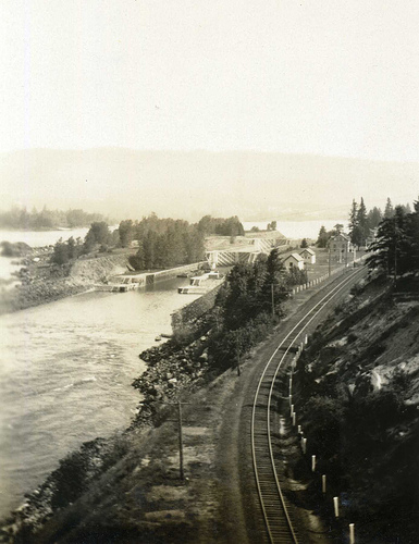
Pictures


Related Locations
Information of geographic nature is based on public data provided by geonames.org, CIA world facts book, Unesco, DBpedia and wikipedia. Weather is based on NOAA GFS.