-
You are here:
- Homepage »
- United States »
- Vermont » Lincoln

Lincoln Destination Guide
Discover Lincoln in United States
Lincoln in the region of Vermont is a town located in United States - some 416 mi or ( 670 km ) North-East of Washington , the country's capital .
Local time in Lincoln is now 12:29 PM (Saturday) . The local timezone is named " America/New York " with a UTC offset of -4 hours. Depending on your flexibility, these larger cities might be interesting for you: Hartford, Boston, Keene, Newark, and Plattsburgh. When in this area, you might want to check out Hartford . We found some clip posted online . Scroll down to see the most favourite one or select the video collection in the navigation. Are you looking for some initial hints on what might be interesting in Lincoln ? We have collected some references on our attractions page.
Videos
Women of Wisdom in Tibetan Buddhism:Ven.Dhyani on Yeshe Tsoygal
"A Woman's Journey to Enlightenment" at Vajra Dakini Nunnery. Through the life of Yeshe Tsogyal, the first enlightened woman of Tibet we experience overcoming all obstacles on the path to enlightenmen ..
Sugarbush VT backwords down Jester.
Sugarbush Vt 12 -30-09 Patrick Forenza skiing some woods then back up for a fast backwards trip down jester. ..
Eastern Brook Trout Solo Adventure 4
My 5 month hike from Cortland, NY to Greenville, ME. My 9 videos represent one hike in a series of 5 from Dawson County, GA to Ft. Kent, ME. I set out to study native brook trout in headwater streams ..
Sugarbush 2011-05-01
Boys in Bumps on Ripcord on possibly last day of season at Sugarbush ..
Videos provided by Youtube are under the copyright of their owners.
Interesting facts about this location
Lincoln Peak (Vermont)
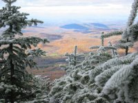
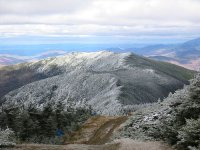
Lincoln Peak is a mountain located on the border between Vermont's Washington and Addison counties, within the Green Mountain National Forest. The mountain is named after President Abraham Lincoln (1809–1865), and is part of the Lincoln Mountain section of the Green Mountains. Lincoln Peak is flanked to the southwest by Mount Abraham, and to the north by Nancy Hanks Peak.
Located at 44.13 -72.93 (Lat./Long.); Less than 6 km away
Sugarbush Resort
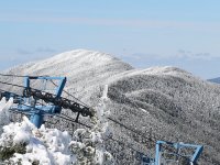
Sugarbush Resort is a ski resort located in the Mad River Valley in Warren, Vermont. It is one of the largest ski resorts in New England. The resort encompasses more than 4000 acres (16 km²) total, 578 acres (2.34 km²) skiable, 53 miles (85 km) of trails, and 16 ski lifts.
Located at 44.14 -72.91 (Lat./Long.); Less than 8 km away
Addison County, Vermont
Addison County is a county located in the U.S. state of Vermont. In 2010, the population was 36,821. Its shire town is Middlebury.
Located at 44.05 -73.12 (Lat./Long.); Less than 11 km away
Buels Gore, Vermont
Buels Gore is a gore in Chittenden County, Vermont, United States. The population was 12 at the 2000 census. In Vermont, gores and grants are unincorporated portions of a county which are not part of any town and have limited self-government (if any, as many are uninhabited).
Located at 44.21 -72.95 (Lat./Long.); Less than 12 km away
Appalachian Gap
Appalachian Gap, is a mountain pass in the Green Mountains of Vermont. The highest point of the pass is located in Chittenden County, about 0.2 mi west of the boundary between Chittenden and Washington County. The pass is in the Camel's Hump State Park. On the east side, Appalachian Gap is drained by Mill Brook, which drains into the Mad River, the Winooski River, and into Lake Champlain.
Located at 44.21 -72.93 (Lat./Long.); Less than 13 km away
Pictures
Related Locations
Information of geographic nature is based on public data provided by geonames.org, CIA world facts book, Unesco, DBpedia and wikipedia. Weather is based on NOAA GFS.

