
Discover Catia La Mar in Venezuela
Catia La Mar in the region of Vargas with its 106,822 habitants is a town located in Venezuela - some 13 mi or ( 21 km ) North-West of Caracas , the country's capital .
Local time in Catia La Mar is now 02:48 AM (Saturday) . The local timezone is named " America/Caracas " with a UTC offset of -4.5 hours. Depending on your flexibility, these larger cities might be interesting for you: Oranjestad, Valencia, Tarma, San Juan de los Morros, and Playa Grande. When in this area, you might want to check out Oranjestad . We found some clip posted online . Scroll down to see the most favourite one or select the video collection in the navigation. Are you looking for some initial hints on what might be interesting in Catia La Mar ? We have collected some references on our attractions page.
Videos
Boeing 767-300 interior
Boeing 767-300 TF-FIB in Caracas, operating for Santa Barbara Airlines. November 2010 ..
Wind Shear Approach to Maiquetia RWY10 / DC 9-30
..
LAN 767-300 landing in Caracas
beautiful landing at Maquetia "Simon Bolivar'' international airport onboard LAN'S Boeing 767-300 ..
AIRFRANCE Airbus A340-300 / CARACAS A PARIS
Trip Report desde CCS-CDG por Air France en un Airbus 340-300, Viernes 24 de Abril ..
Videos provided by Youtube are under the copyright of their owners.
Interesting facts about this location
Catia La Mar
Catia La Mar is a city and port in the municipality of Vargas, in the State of Vargas in Maiquetía, Venezuela. It is Maiquetia's neighbor to the west. Catia la Mar is about 10 minutes from Simón Bolívar International Airport (Venezuela's main airport). Named after a 16th century chief, Catia, contemporary of the famous Guaicaipuro, the city hosts a naval academy and university, a fishing port called La Zorra, and several beaches (Costa Dorada, Playa La Zorra, Playa Candilejas, Puerto Viejo).
Located at 10.60 -67.03 (Lat./Long.); Less than 1 km away
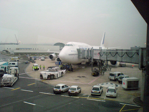
Simón Bolívar International Airport (Venezuela)
Simón Bolívar International Airport of Maiquetia is an international airport located in Maiquetía, Venezuela, about 13 miles (21 kilometers) from downtown Caracas. Simply called 'Maiquetia' by the local population, it is the top international air passenger gateway to Venezuela among the twelve international airports in the country. From 1960 to 1997, it was the main hub for VIASA, Venezuela's former flag carrier till the air carrier went bankrupt.
Located at 10.60 -66.99 (Lat./Long.); Less than 4 km away
La Guaira
La Guaira is the capital city of the Venezuelan state of Vargas and the country's chief port. It was founded in 1577 as an outlet for Caracas, 30 kilometres to the southeast. The town and the port were badly damaged during the December 1999 floods and mudslides that affected much of the region. Today, La Guaira exports cocoa beans, coffee, and tobacco. The city hosts its own professional baseball team in the Venezuelan Professional Baseball League, the Tiburones de La Guaira.
Located at 10.60 -66.93 (Lat./Long.); Less than 11 km away
1812 Caracas earthquake
The 1812 Caracas earthquake took place in Venezuela on March 26, 1812 at 4:37 p.m. It measured 7.7 on the Richter magnitude scale. It caused extensive damage in Caracas, La Guaira, Barquisimeto, San Felipe, and Mérida. An estimated 15,000-20,000 people perished as a result, in addition to incalculable material damage. The seismic movement was so drastic that in a zone named Valecillo a new lake was formed and the river Yurubí was dammed up.
Located at 10.50 -66.97 (Lat./Long.); Less than 13 km away
Miraflores Palace
The Palacio de Miraflores (Spanish for "Miraflores Palace") is the official workplace of the President of Venezuela. It is located on Urdaneta Avenue, Libertador Municipality in Caracas. It was started on 27 April 1884 under the direction of Giuseppe Orsi and was intended as the family residence of Joaquin Crespo. Also participated: painter Julián Oñate, Juan Bautista Sales and his team of esculptors, decorators, wood cavers, constructors - who erected the European-style Miraflores Palace.
Located at 10.51 -66.92 (Lat./Long.); Less than 16 km away
Pictures
Related Locations
Information of geographic nature is based on public data provided by geonames.org, CIA world facts book, Unesco, DBpedia and wikipedia. Weather is based on NOAA GFS.