-
You are here:
- Homepage »
- Afghanistan »
- Nangarhar » Jalalabad

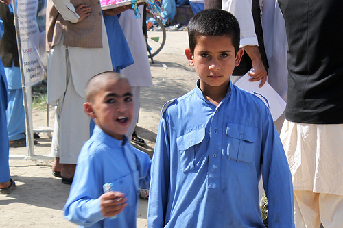
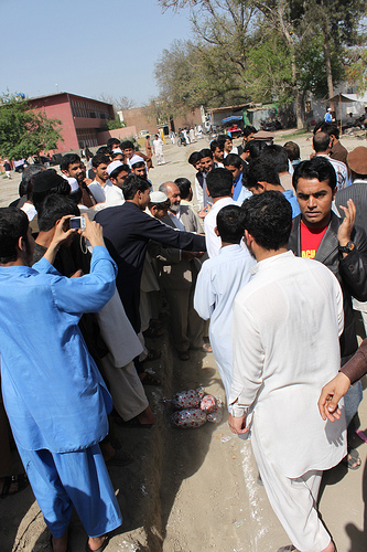
Jalalabad Destination Guide
Explore Jalalabad in Afghanistan
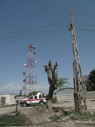
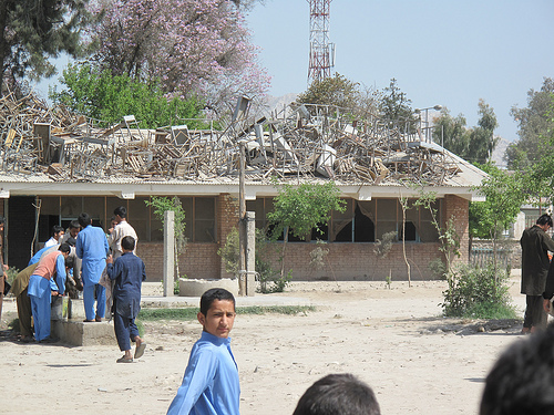
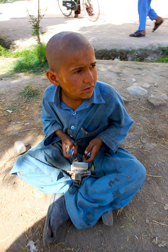
Jalalabad in the region of Nangarhār with its 200,331 inhabitants is a town in Afghanistan - some 73 mi or ( 118 km ) East of Kabul , the country's capital city .
Current time in Jalalabad is now 10:20 PM (Friday) . The local timezone is named " Asia/Kabul " with a UTC offset of 4.5 hours. Depending on the availability of means of transportation, these more prominent locations might be interesting for you: Sheywah, Shegay, Savati, Mehtar Lam, and Khost. Since you are here already, make sure to check out Sheywah . We encountered some video on the web . Scroll down to see the most favourite one or select the video collection in the navigation. Where to go and what to see in Jalalabad ? We have collected some references on our attractions page.
Videos
walking in Jalalabad-2
continue walking in Jalalabad city. Chai-khana, fruits shops around chowk-talasi ..
Lara Logan interview in Afghanistan 02
Continuation of Lara Logan's interview in Jalalabad, Afghanistan for CBS's "Follow the Money". Dr. Dave Warner explains observations made during an investigatory trip to a local hospital, and talks ab ..
walking in Jalalabad-5
Kabab are roasted on street. ..
walking in Jalalabad
Market in Jalalabad city, Ningrahar province, AFGHANISTAN. 20 Sep.2011 ..
Videos provided by Youtube are under the copyright of their owners.
Interesting facts about this location
Jalalabad Airport
Jalalabad Airport is located 3 miles (5 km) southeast of Jalalabad city in Afghanistan. This airport is currently being used only for military purposes and sometimes the United Nations' aircraft use this airport.
Located at 34.40 70.50 (Lat./Long.); Less than 5 km away
Nangarhar University
Nangarhar University (Pashto: د ننګرهار پوهنتون‎) is a government-funded higher learning institution in Jalalabad, Afghanistan. It is the second largest university in Afghanistan. It has approximately 25 faculty and 3,500 students. Nangarhar University was established in 1962 as a medical college. It was later merged with other local colleges to become a full-fledged university.
Located at 34.47 70.37 (Lat./Long.); Less than 9 km away
Maruf, Afghanistan
The town of Maruf is the center of Maruf District, Kandahar Province, Afghanistan at 1744 m altitude. It is the place where Ahmad Shah Durani lived his last years and died.
Located at 34.42 70.35 (Lat./Long.); Less than 9 km away
Derunta training camp
The Derunta training camp (also transliterated as Darunta) was one of the most well-known of many military training camps that have been alleged to have been affiliated with al Qaeda.
Located at 34.48 70.36 (Lat./Long.); Less than 10 km away
Darūntah
Darūntah (Khayrow Khel) is a village in Jalalabad District of Nangarhar province. It is located next to Jalalabad city on route AO1 in Afghanistan. It gave its name to the Derunta training camp located north of the village, across the Darunta Dam.
Located at 34.48 70.36 (Lat./Long.); Less than 10 km away
Pictures

Historical Weather
Related Locations
Information of geographic nature is based on public data provided by geonames.org, CIA world facts book, Unesco, DBpedia and wikipedia. Weather is based on NOAA GFS.