
Explore Saboya in Colombia
Saboya in the region of Boyacá with its 1,375 inhabitants is a place in Colombia - some 78 mi or ( 126 km ) North of Bogotá , the country's capital city .
Time in Saboya is now 09:04 AM (Monday) . The local timezone is named " America/Bogota " with a UTC offset of -5 hours. Depending on your budget, these more prominent locations might be interesting for you: San Cristóbal, Mérida, Yopal, Villavicencio, and Tunja. Since you are here already, consider visiting San Cristóbal . We saw some hobby film on the internet . Scroll down to see the most favourite one or select the video collection in the navigation. Where to go and what to see in Saboya ? We have collected some references on our attractions page.
Videos
Colombia for export Колумбия for Export (Tawi Travel)
рекламный ролик посвященный Колумбии, ее маршрутам и всему, что эта страна может предложить туристам.(Короткая версия) 57-1-7511230 www.tawitravel.com, www.tawitravel.ru ..
Baby-Kronosaurus - Teil 1
Kolumbien - Villa de Leyva: 'El Fósil' einem 7 Meter langen versteinerten Baby-Kronosaurus - Teil 1 Mehr unter www.carioli-on-tour.de ..
Videos provided by Youtube are under the copyright of their owners.
Interesting facts about this location
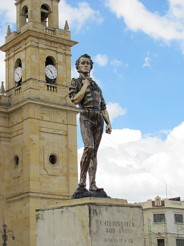
Chiquinquirá
Chiquinquirá is a town and municipality in the Colombian Department of Boyacá, part of the subregion of the Western Boyacá Province. Located some 115 km north of Bogotá, Chiquinquirá is 2570m (8432 ft) above sea level and has a yearly average temperature 58°F. Chiquinquirá is constituted by two zones: the urban zone or town which is formed by approximately 40 neighborhoods between the strata 1 and 4, and the rural zone which is divided in 17 sub zones located around the city.
Located at 5.63 -73.75 (Lat./Long.); Less than 7 km away
San Miguel de Sema
San Miguel de Sema is a town and municipality in Boyacá Department, Colombia, part of the subregion of the Western Boyacá Province. It is one of the 123 municipalities of the department of Boyacá, Colombia, located to the West of the department in the coordinates: latitude N 5°, 31´; length. 0 73°; 44', to an altitude of 2,615 m.s.n.m. Is surrounded by the municipalities by Chiquinquirá, Simijacá, Fúquene (Cundinamarca), Ráquira, Tinjacá
Located at 5.55 -73.75 (Lat./Long.); Less than 16 km away
Albania, Santander
Albania is a town and municipality in the Santander Department in northeastern Colombia.
Located at 5.76 -73.92 (Lat./Long.); Less than 18 km away
Briceño, Boyacá
Briceño is a town and municipality in the Colombian Department of Boyacá, part of the subregion of the Western Boyacá Province.
Located at 5.70 -73.93 (Lat./Long.); Less than 18 km away
Tununguá
Tununguá is a town and municipality in Boyacá Department, Colombia, part of the subregion of the Western Boyacá Province.
Located at 5.73 -73.93 (Lat./Long.); Less than 19 km away
Pictures
Related Locations
Information of geographic nature is based on public data provided by geonames.org, CIA world facts book, Unesco, DBpedia and wikipedia. Weather is based on NOAA GFS.