-
You are here:
- Homepage »
- Germany »
- North Rhine-Westphalia » Durboslar

Durboslar Destination Guide
Touring Durboslar in Germany
Durboslar in the region of North Rhine-Westphalia is located in Germany - some 326 mi or ( 525 km ) West of Berlin , the country's capital city .
Time in Durboslar is now 09:22 AM (Wednesday) . The local timezone is named " Europe/Berlin " with a UTC offset of 1 hours. Depending on your budget, these more prominent places might be interesting for you: Utrecht, Haarlem, Amsterdam, Brussels, and Ubach-Palenberg. Being here already, consider visiting Utrecht . We collected some hobby film on the internet . Scroll down to see the most favourite one or select the video collection in the navigation. Check out our recommendations for Durboslar ? We have collected some references on our attractions page.
Videos
taizè meeting 08/09
International winter meeting in Bruxelles ..
RC Pajero scale offroad
Tamiya Pajero Karosserie mit eigenbau Chassis. ..
Emergency 4 FDNY
Manhattan Mod ..
Baesweiler, Nordrhein-Westfalen, Germany Time Lapse
Time lapse video showing 24 hours from a webcam at Baesweiler, Nordrhein-Westfalen, Germany. More information about this webcam can be found at catfood.net ..
Videos provided by Youtube are under the copyright of their owners.
Interesting facts about this location
Langweiler (archaeological site)
Langweiler is an archaeological site situated in the Merzbach Valley on the Aldenhovener Plateau of western Germany. Systematic excavations have revealed evidence of 160 houses from eight distinct settlement sites, plus three enclosures and a cemetery, belonging to the period 5300-4900 BC. The site is a key region for understanding the nature of the earliest farming societies in west-central Europe.
Located at 50.88 6.25 (Lat./Long.); Less than 3 km away
Inde (river)
Inde is a river of North Rhine-Westphalia, Germany.
Located at 50.90 6.35 (Lat./Long.); Less than 7 km away
Duchy of Jülich
The Duchy of Jülich comprised a state within the Holy Roman Empire from the 11th to the 18th centuries. The duchy lay left of the Rhine river between the Electorate of Cologne in the east and the Duchy of Limburg in the west. It had territories on both sides of the river Rur, around its capital Jülich – the former Roman Iuliacum – in the lower Rhineland. The duchy amalgamated with the County of Berg beyond the Rhine in 1423, and from then on also became known as Jülich-Berg.
Located at 50.92 6.35 (Lat./Long.); Less than 7 km away
Inde
The Inde is a small river in Belgium and Germany, left tributary of the Rur. It has its source near Raeren in Eastern Belgium, runs through Aachen-Kornelimünster, Eschweiler and Inden, and flows into the river Rur near Jülich. Because of lignite opencast mining, it has been diverted in 2003 near to Inden-Lamersdorf. The brooks Omerbach, Otterbach, Saubach, Vichtbach and Wehebach flow into the Inde. Its name is of Celtic origin: Inda.
Located at 50.90 6.36 (Lat./Long.); Less than 8 km away
Siege of Jülich (1621–22)
The Siege of Jülich was a siege that took place between September 5 1621 and February 3 1622, during the Palatinate campaign of the Thirty Years' War. After five months of siege the Spanish army under Ambrosio Spinola took the Dutch-occupied fortress of Jülich, compelling its garrison to surrender.
Located at 50.92 6.36 (Lat./Long.); Less than 8 km away
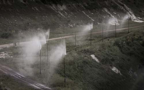
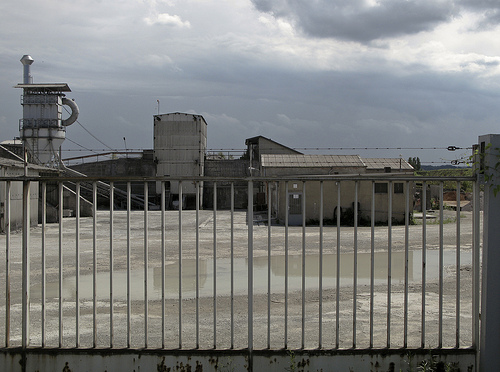
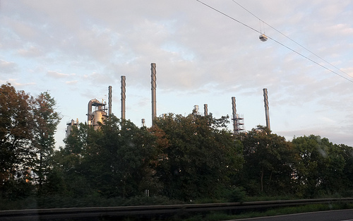
Pictures
Historical Weather
Related Locations
Information of geographic nature is based on public data provided by geonames.org, CIA world facts book, Unesco, DBpedia and wikipedia. Weather is based on NOAA GFS.