Explore Donabate in Ireland
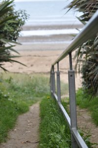
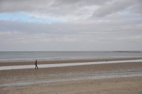
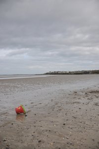
Donabate in the region of Leinster with its 3,936 inhabitants is a town in Ireland - some 11 mi or ( 18 km ) North of Dublin , the country's capital city .
Current time in Donabate is now 02:32 PM (Thursday) . The local timezone is named " Europe/Dublin " with a UTC offset of 0 hours. Depending on the availability of means of transportation, these more prominent locations might be interesting for you: Manchester, Liverpool, Lisburn, Glasgow, and Edinburgh. Since you are here already, make sure to check out Manchester . We encountered some video on the web . Scroll down to see the most favourite one or select the video collection in the navigation. Where to go and what to see in Donabate ? We have collected some references on our attractions page.
Videos
The Pogues - Thousands Are Sailing
My first travel to Ireland with my favorites Irish band The Pogues's "Thousands Are Sailing" Thanx Ireland for The Pogues and The U2!! ..
Golf Lessons - make your iron shots more accurate
www.bpg.ie Irelands No1 golf instructor Barry Power shares his secrets on how to hit the mid irons more accurate. ..
Collapsed train line - Malahide
The train line from Dublin to Belfast that collapsed into the sea near Malahide Northside people article: www.dublinpeople.com ..
That's entertainment - Aston Villa style
That's entertainment Martin O'Neill style. Aston Villa 5 Sha ( birminghan city ) 1 Ba lá iontach é ..
Videos provided by Youtube are under the copyright of their owners.
Interesting facts about this location
St Ita's Hospital
St Ita's Hospital, Portrane, formerly Portrane Asylum is a long stay facility for those with intellectual disabilities and those with long term mental illnesses. It is currently being scaled back in operations with planned mixed use development.
Located at 53.49 -6.11 (Lat./Long.); Less than 3 km away
Rogerstown Estuary
Rogerstown Estuary is an estuary in Ireland. It is situated just north of the Donabate-Portrane peninsula, and also south of Rush, on Ireland's east coast about 25 km north of Dublin. The estuary is made up of saltwater marshes, raised salt marsh, wet meadows and riverine shallows and creeks. It covers an area of 3.63 km, and is divided by a causeway and bridge built in the 1840s to carry the main Dublin–Belfast railway line.
Located at 53.50 -6.10 (Lat./Long.); Less than 4 km away
Corduff
Corduff is a north western suburb of Dublin, Ireland, near Blanchardstown. The last electoral count (2002–2006) was 4,821 of the 250,000 living in the 42 electoral divisions of Fingal. Corduff is in the Dublin 15 postal district.
Located at 53.52 -6.19 (Lat./Long.); Less than 4 km away
St. Sylvesters GAA
St Sylvesters is a Gaelic Athletic Association club based in Malahide, County Dublin, Ireland. The club was founded in the early 1900s and last won the Dublin Senior Football Championship in 1996. The club plays Hurling and Gaelic football
Located at 53.45 -6.15 (Lat./Long.); Less than 4 km away
Fingallians GAA
Fingallians is a Gaelic Athletic Association club in Dublin, Ireland. Fingallians are one of the first GAA clubs from Dublin having been founded in 1884.
Located at 53.47 -6.21 (Lat./Long.); Less than 5 km away
Pictures
Related Locations
Information of geographic nature is based on public data provided by geonames.org, CIA world facts book, Unesco, DBpedia and wikipedia. Weather is based on NOAA GFS.


